Posts

Sorica

Sorica is a picturesque village on the farthest SW slopes of the Škofja Loka Hills (Škofjeloško hribovje). It belongs to the Železniki Municipality in the Škofja Loka region but it’s first inhabitants settled here much before Železniki in Selška Valley had began to develop, probably as early as 1291. They came from Tyrol and were sent here to exploit the waste woods for the benefit of the Bishops of Freising from Bavaria who used to own both territories.

sorca_klopca

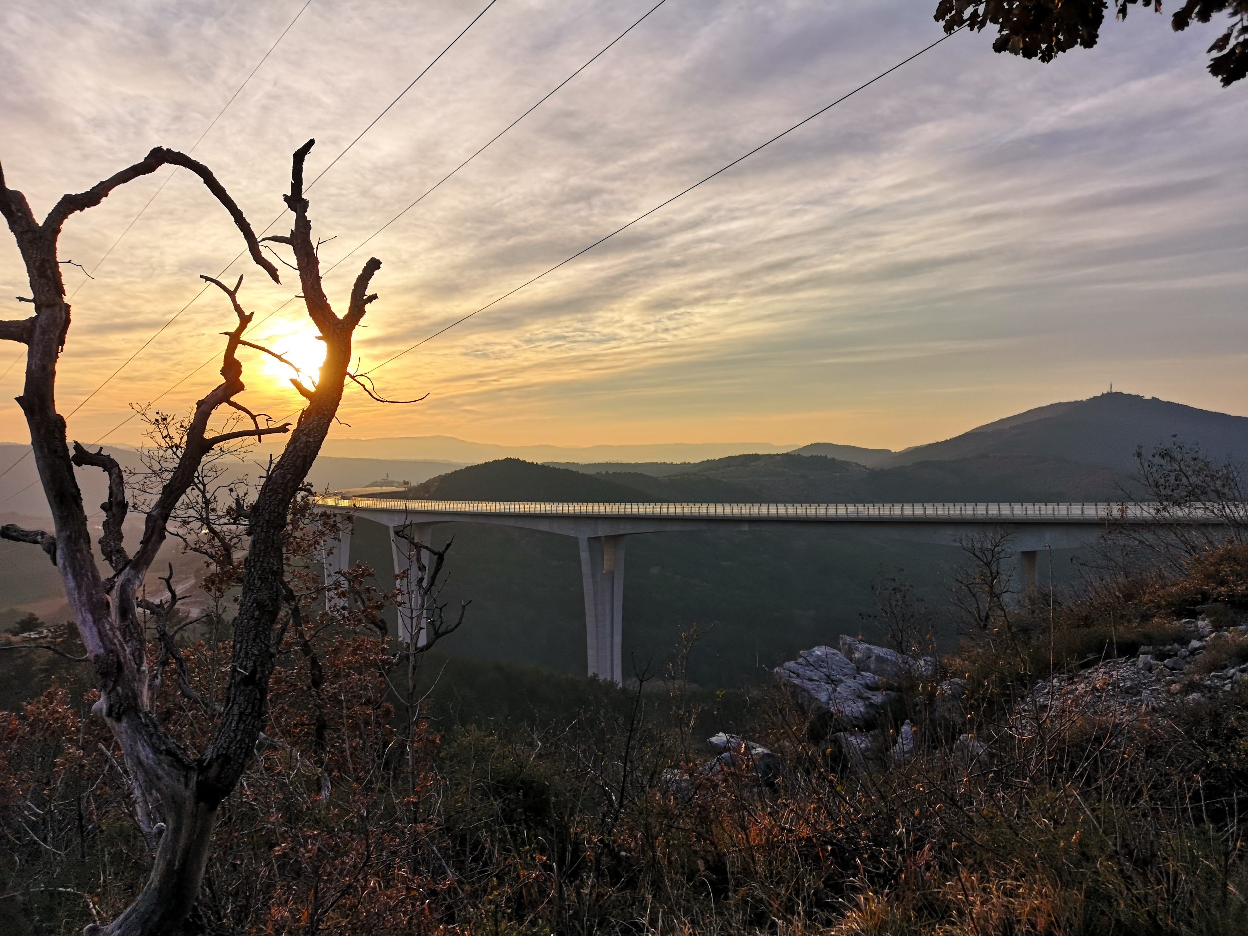
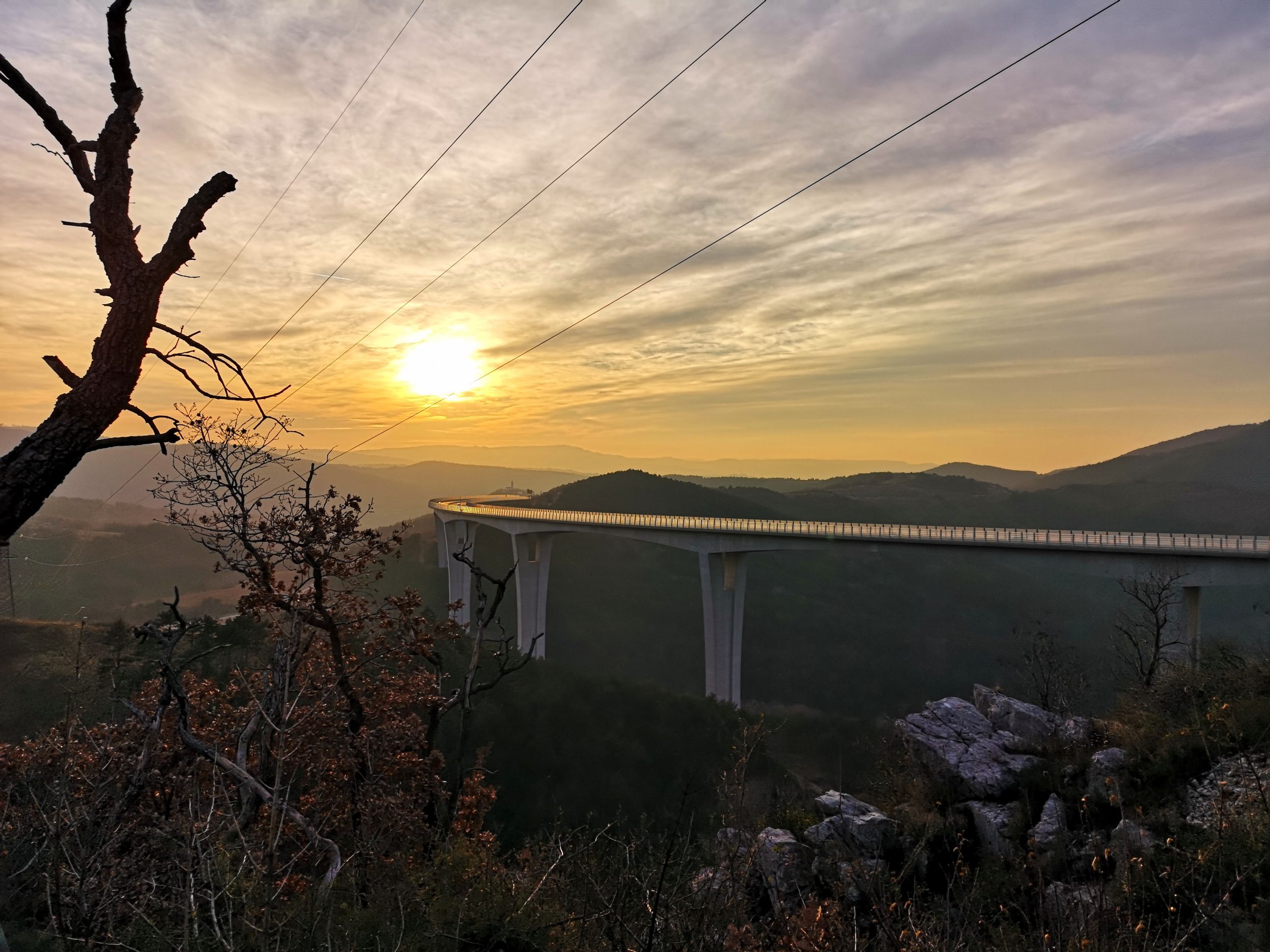
Železniki and Selška Valley are not on the beaten tourist track themselves but Sorica is even less so since it is a 20 minute drive from Železniki into the hills away.However, it is positioned at the interesting crossroads. One road from here leads to the Upper Primorska region (Tolmin) through a very narrow valley of Baška grapa. The road is very windy and extremely narrow but it is definitely worth a try. The second road is even more interesting since it connects Sorica (and Upper Primorska) with Bohinj Lake and of course also with Bled and Lake Bled.

sorca_markacija

No, this is not a road to  Bohinj Lake, that one is an ordinary concrete road (and much better that the one to Primorska). It passes a ski resort Soriška planina which is still a pasture land during the summer.

sorca_ratitovec

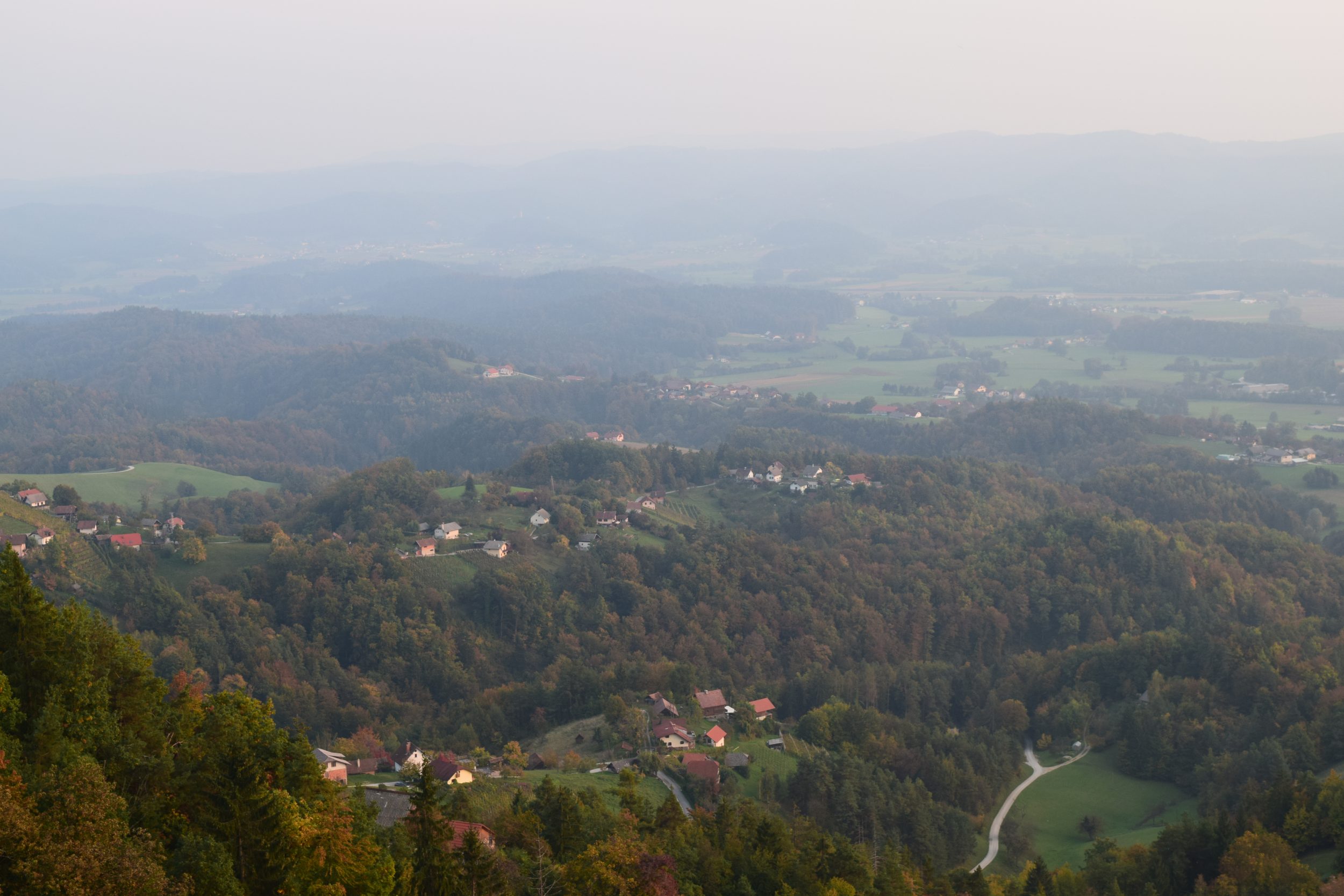
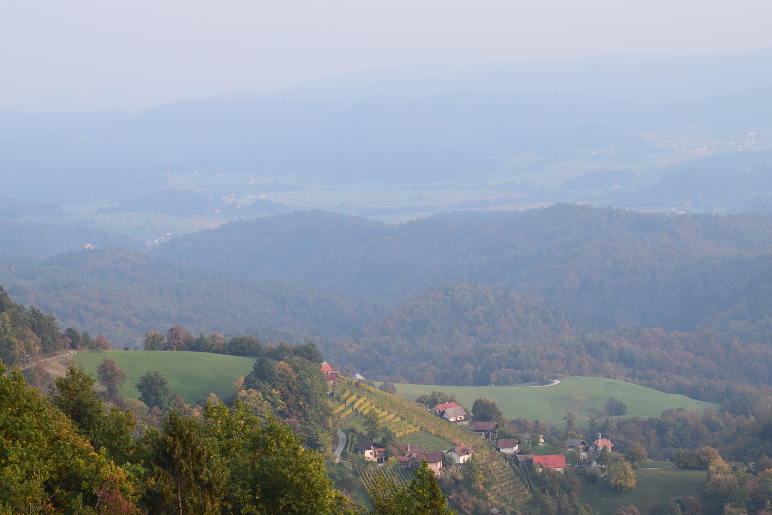
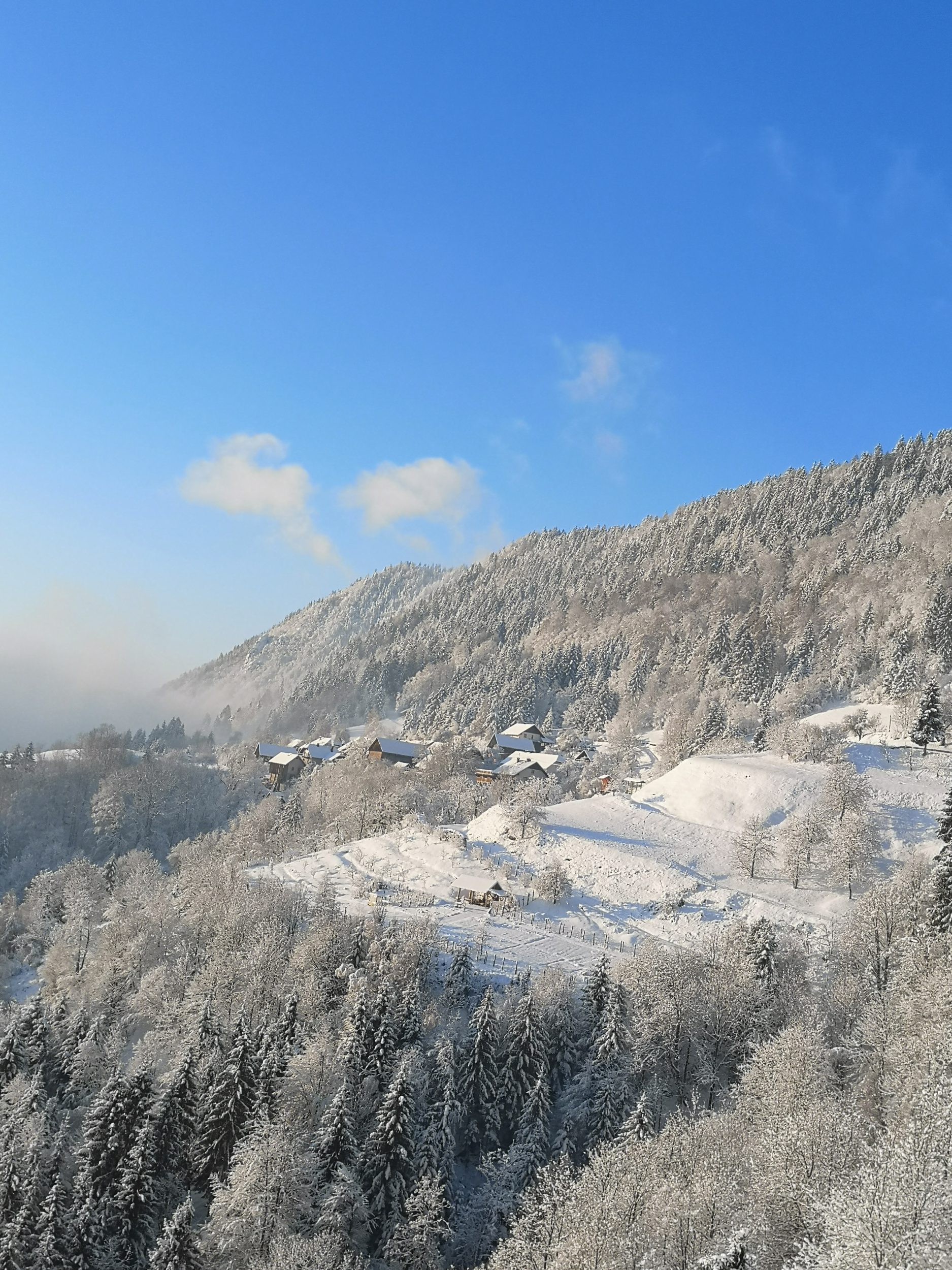
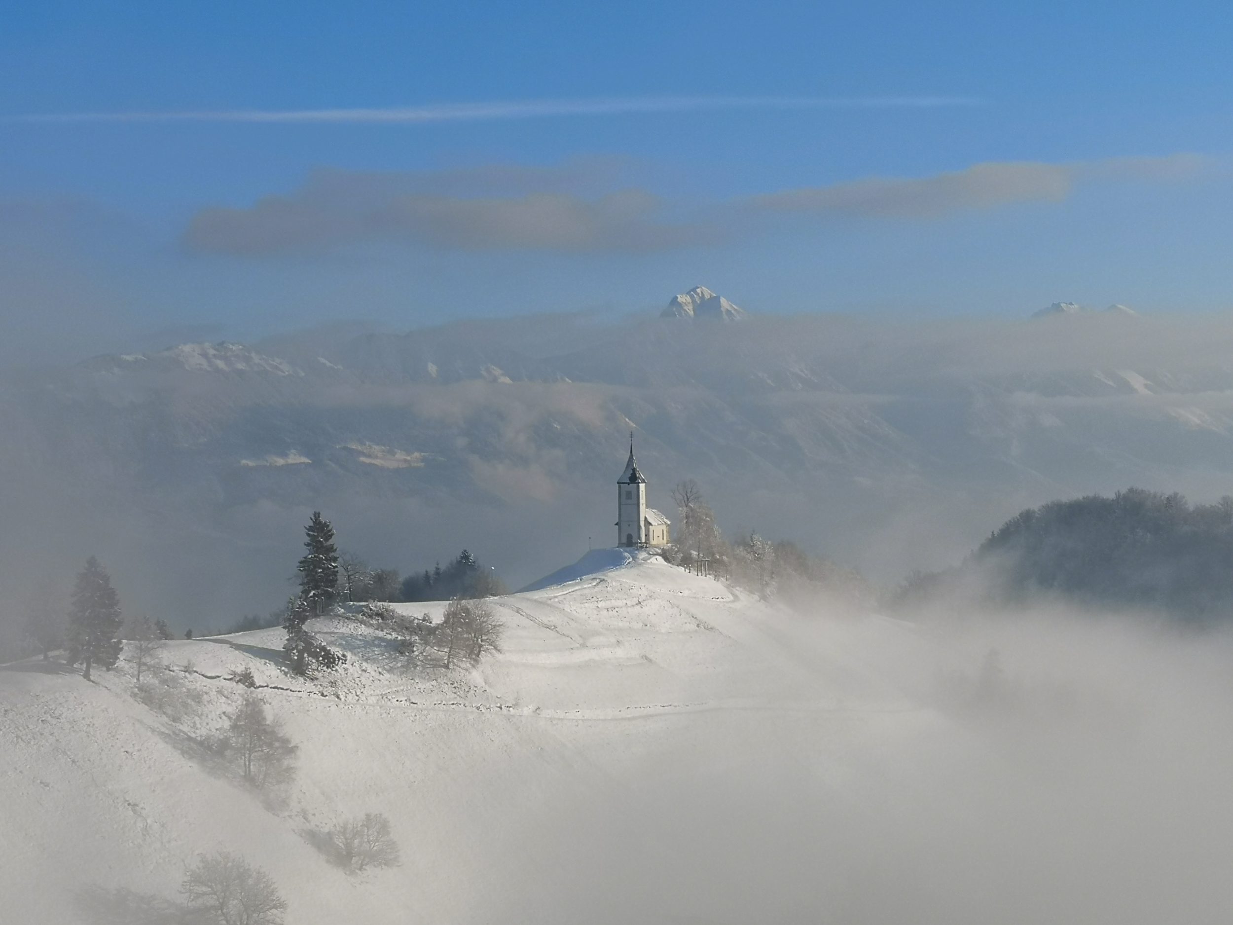
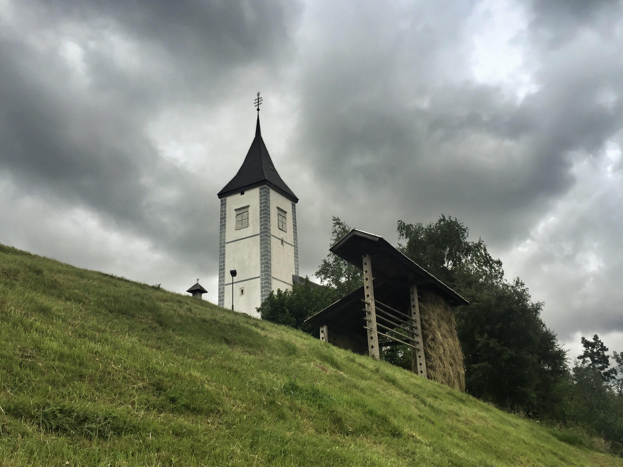
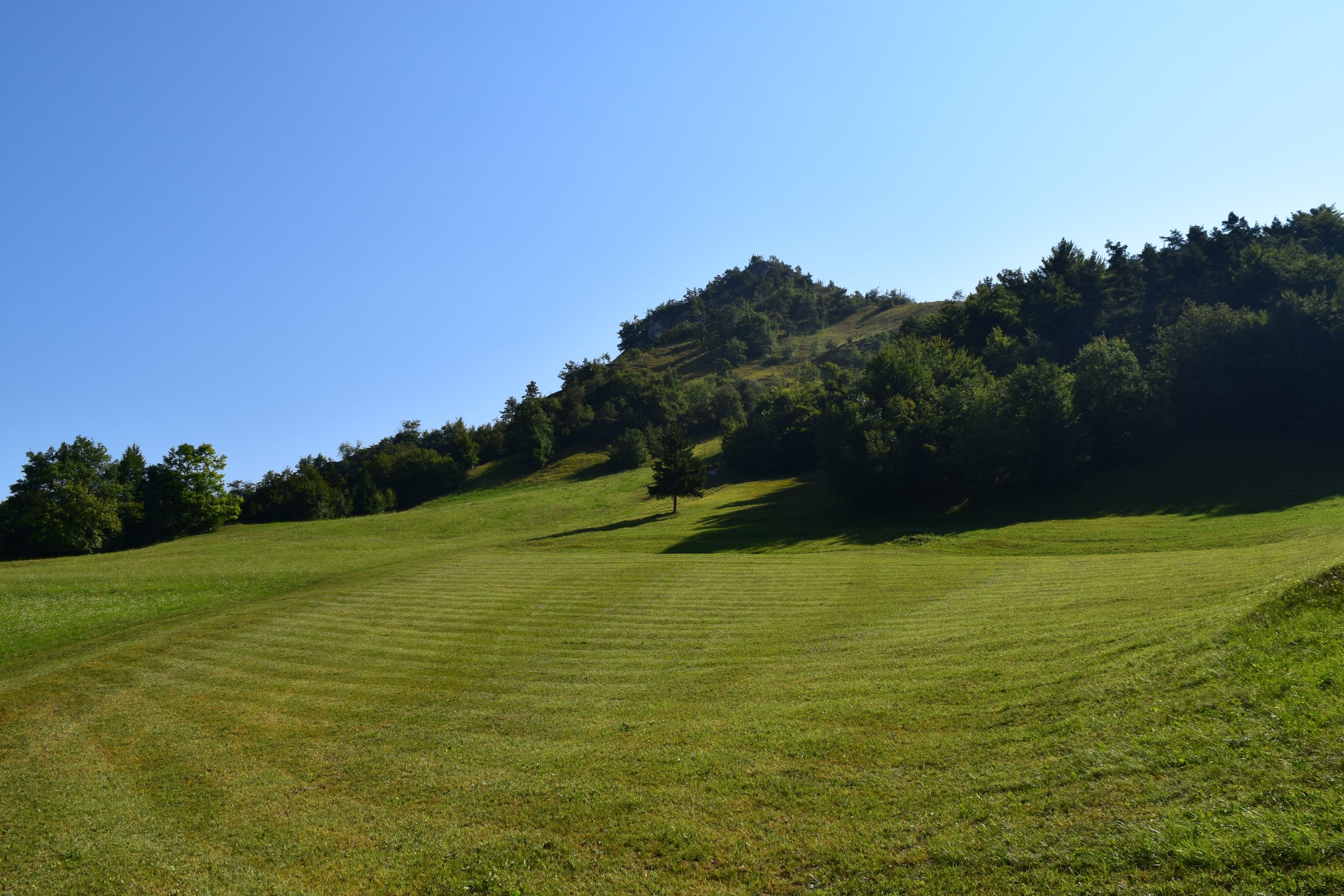
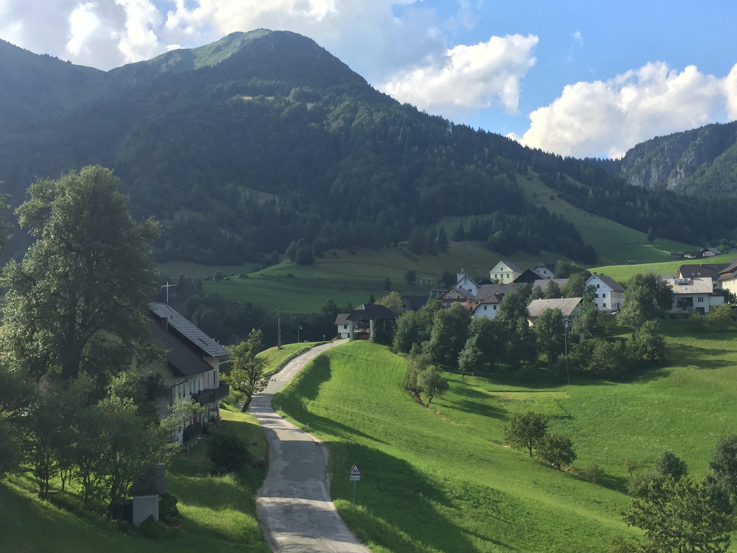
In fact Sorica consists of two parts, Spodnja (Lower) and Zgornja (Upper) Sorica, the later being squeezed between two slopes. In the background Ratitovec overlooks the whole of Selška Valley and surrounding hills and villages. It is the last mountain (SE) of the Julian Alps and even the last of the whole Alps.

soricabw

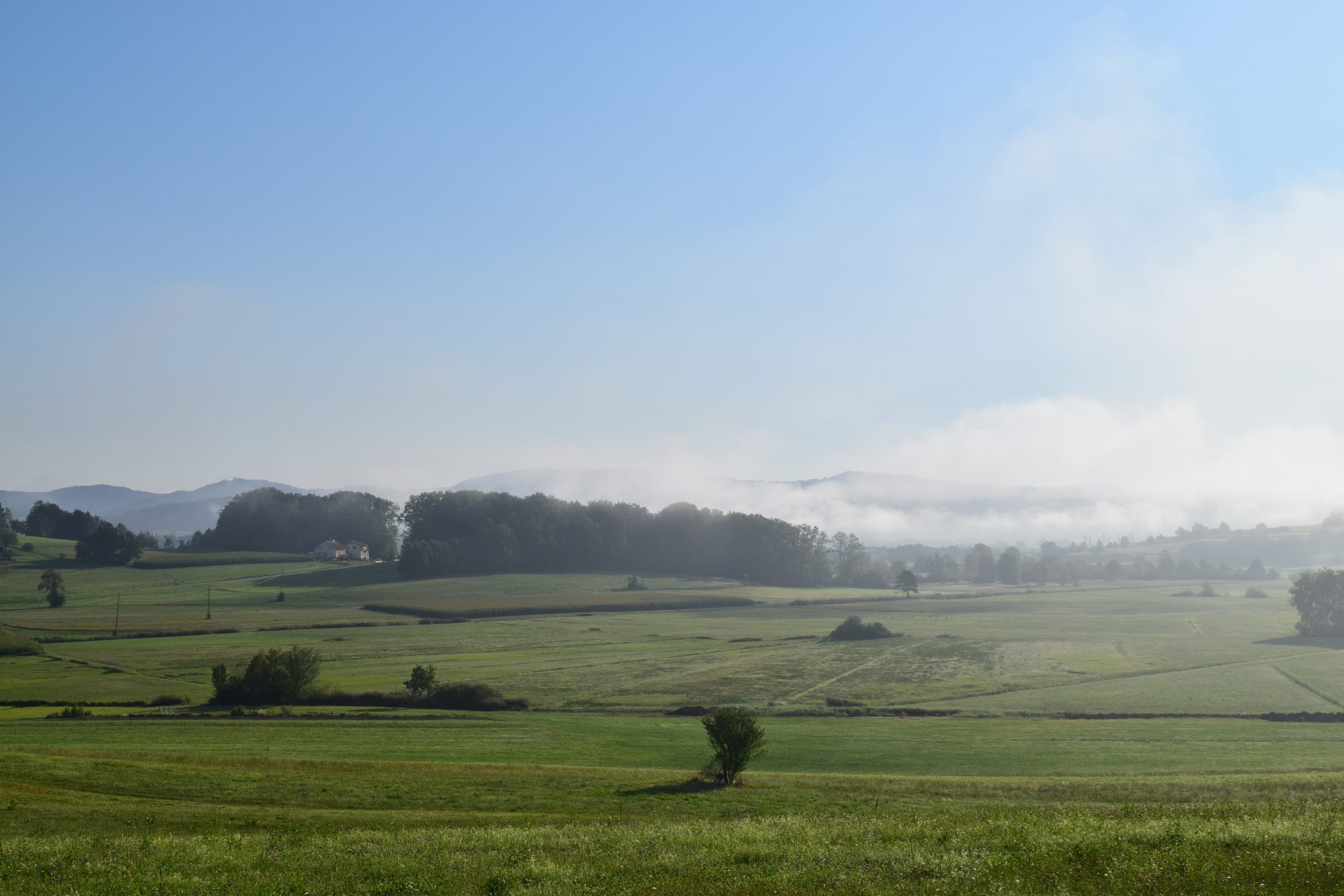
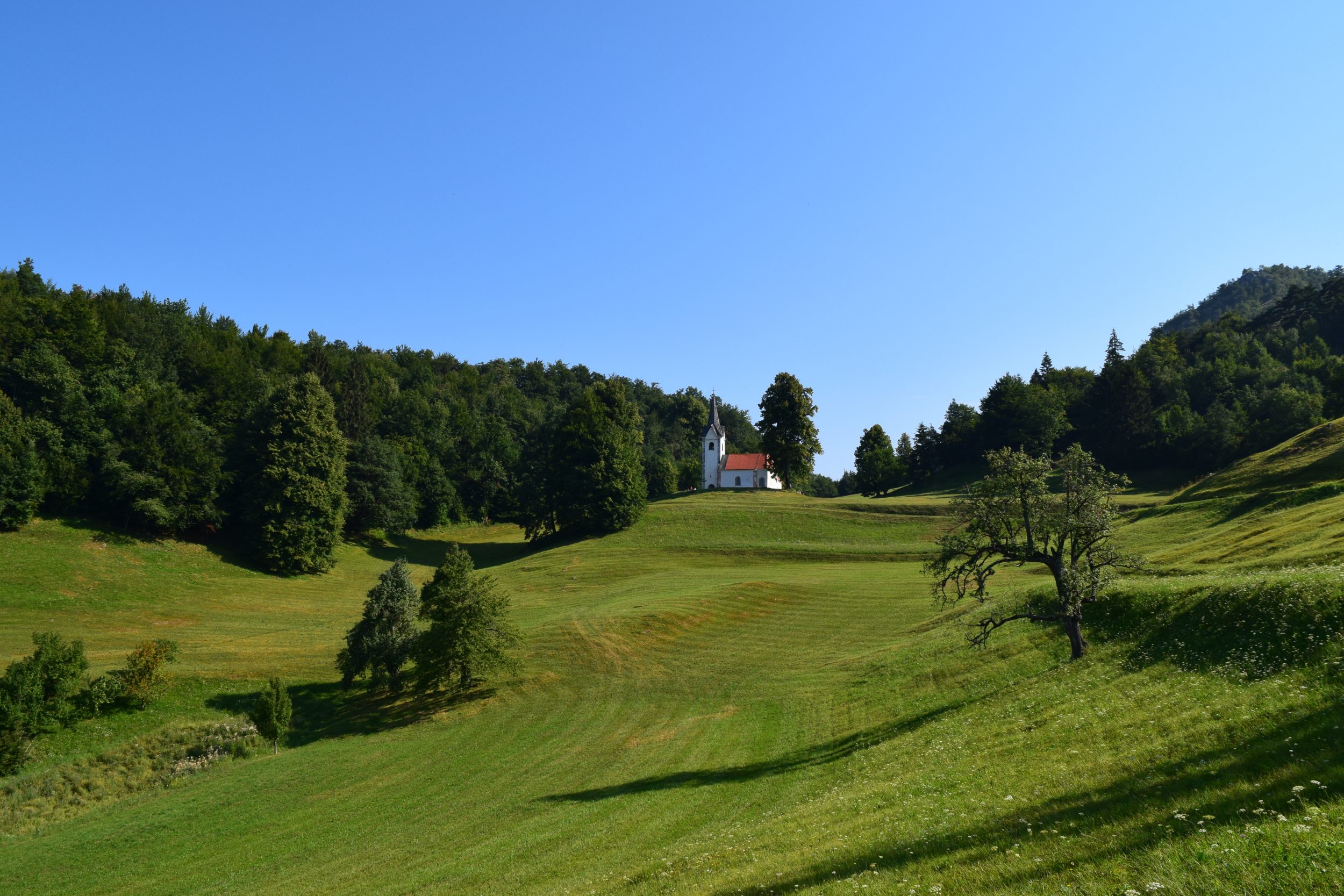
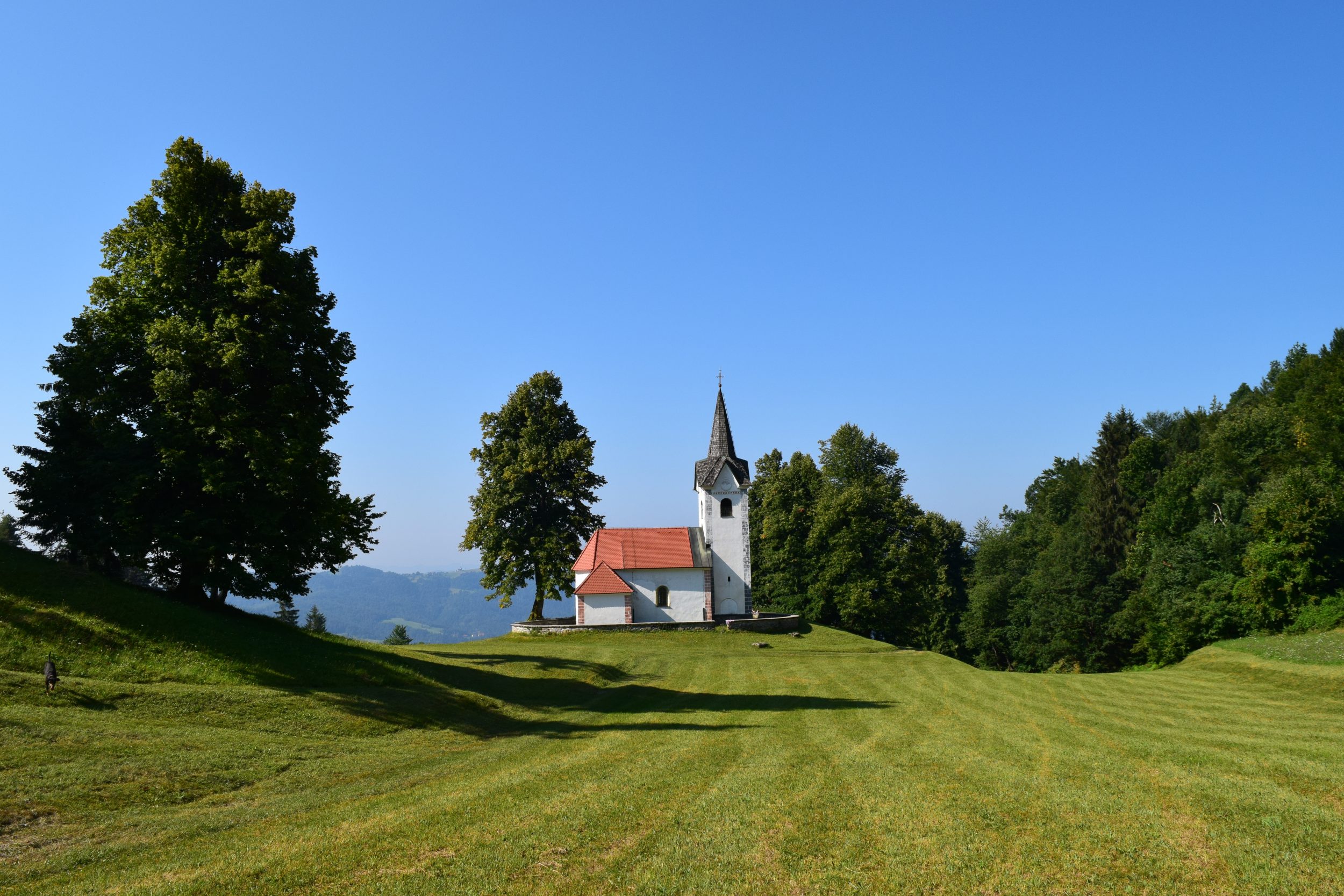
Over the veduta of Spodnja Sorica is a good view on Davča, village of isolated farms which takes place over 10 km in lenght and covers similar area as the capitAl of Slovenia, Ljubljana. A church marks the entrance into the village what is also specific for the settlements around here – church is not in  the centre of the village but rather on the hill near it.

sorcacerkev

This territory didn’t have good traffic connections with others so a specific dialect developed here, in the even more distant village of Danje a few km above Sorica even Tyrolean dialect was spoken well into 20th century (1950), which had nothing in common with Slovenian language.

sorca_cerkev

Also the architecture of the houses is based on the Tyrolean architecture.

sorca_zid

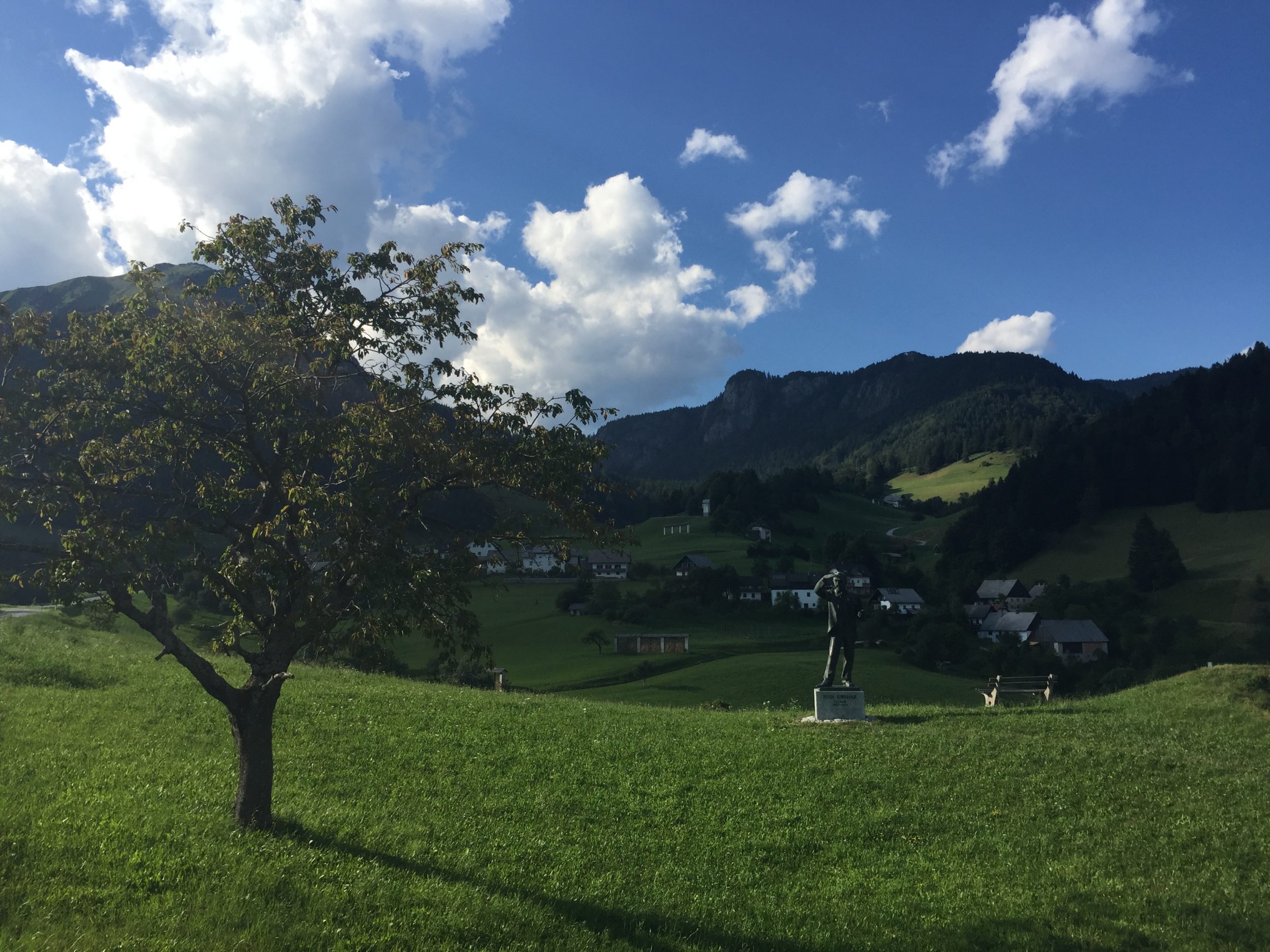
Today Sorica is best known among bikers and gliders and being a hometown of Ivan Grohar, famous Slovenian impressionist painter and traces of the rich history are slowly giving it’s way.

sorca_drva

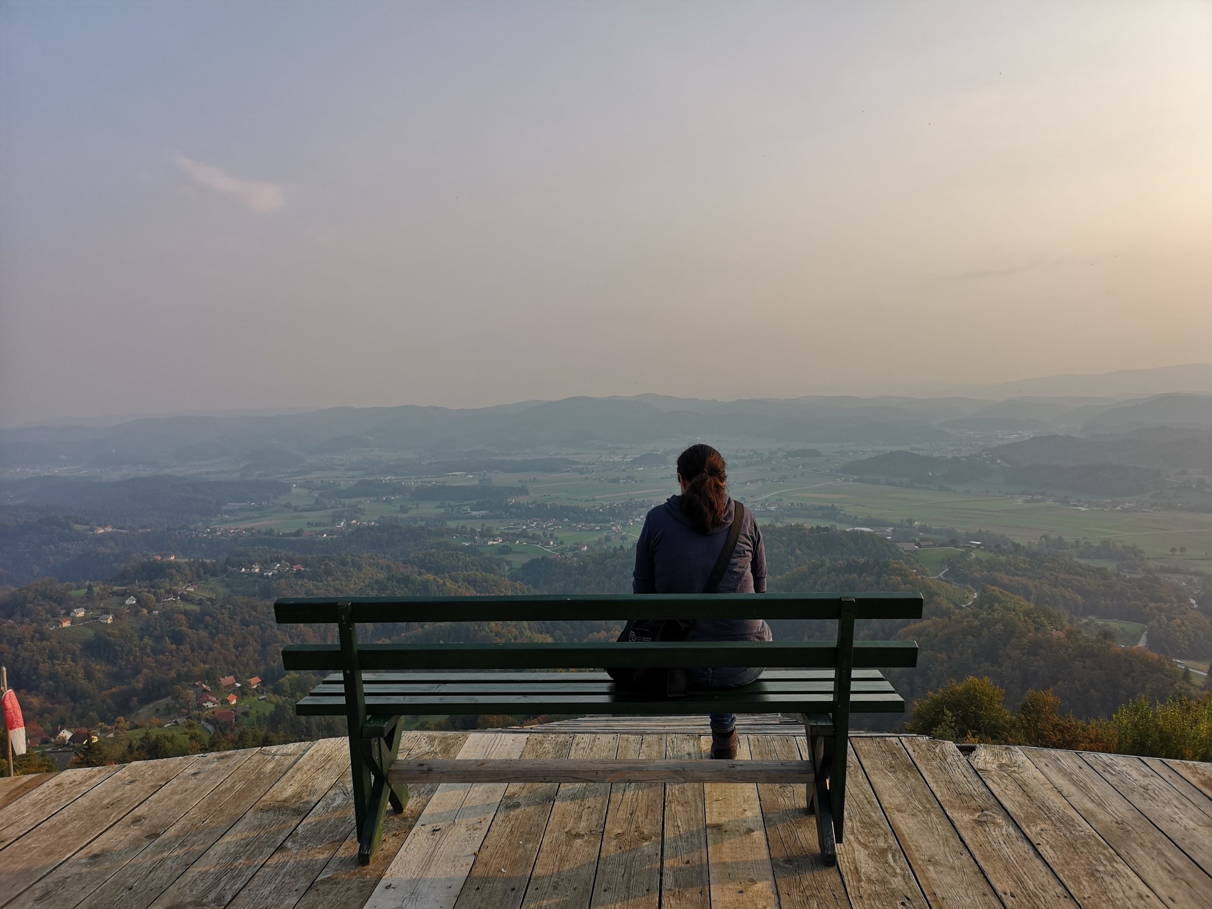
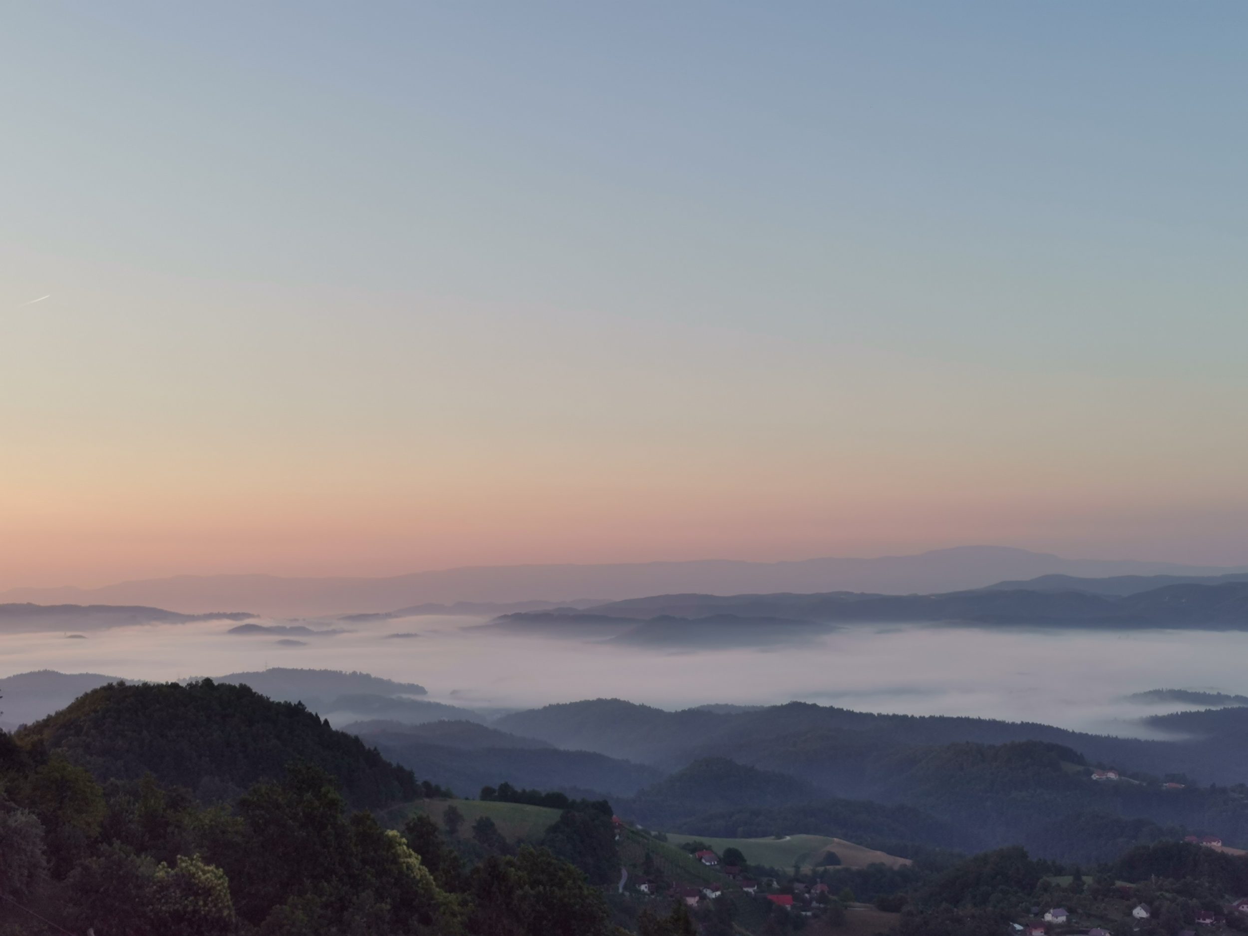
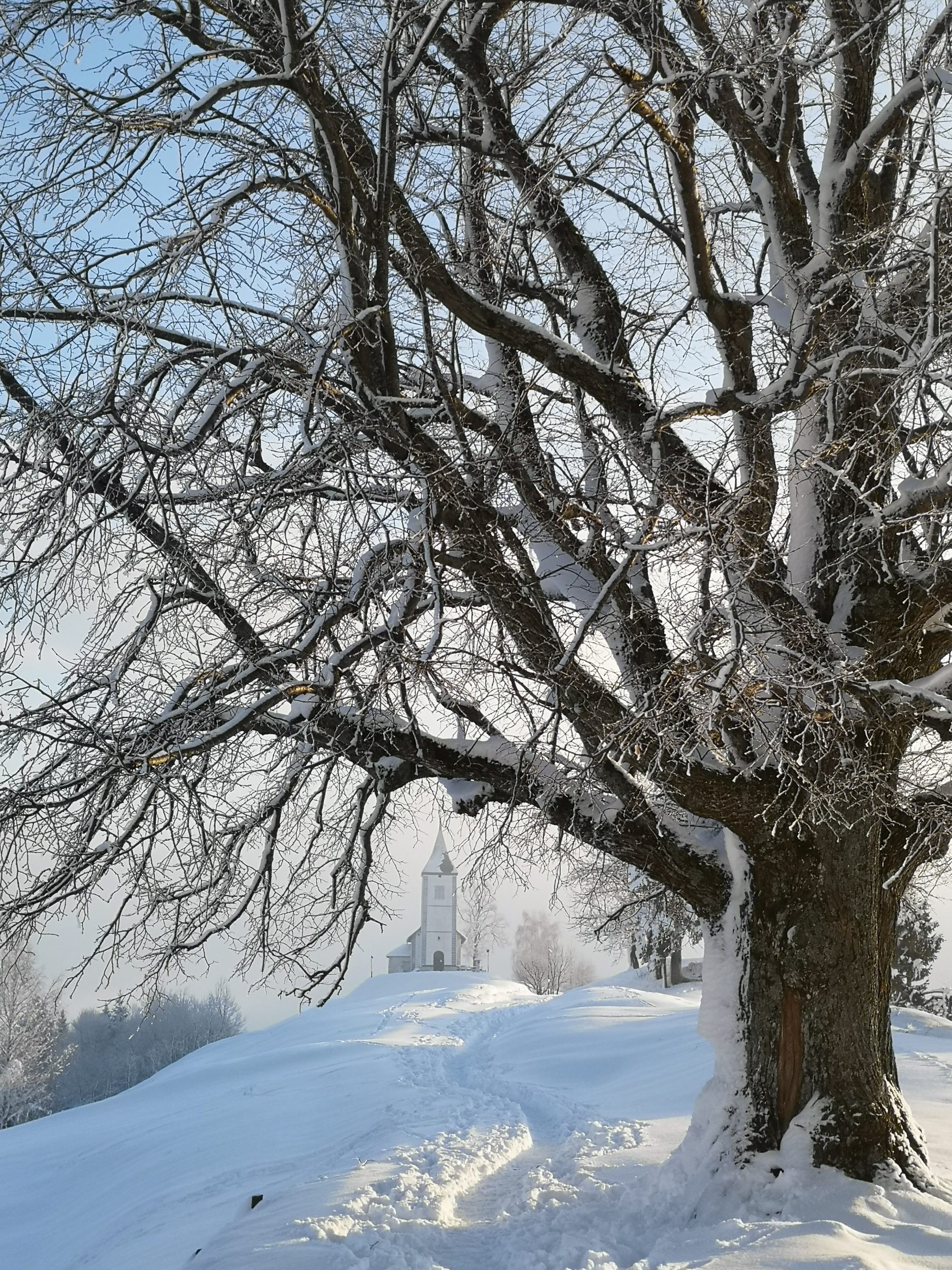
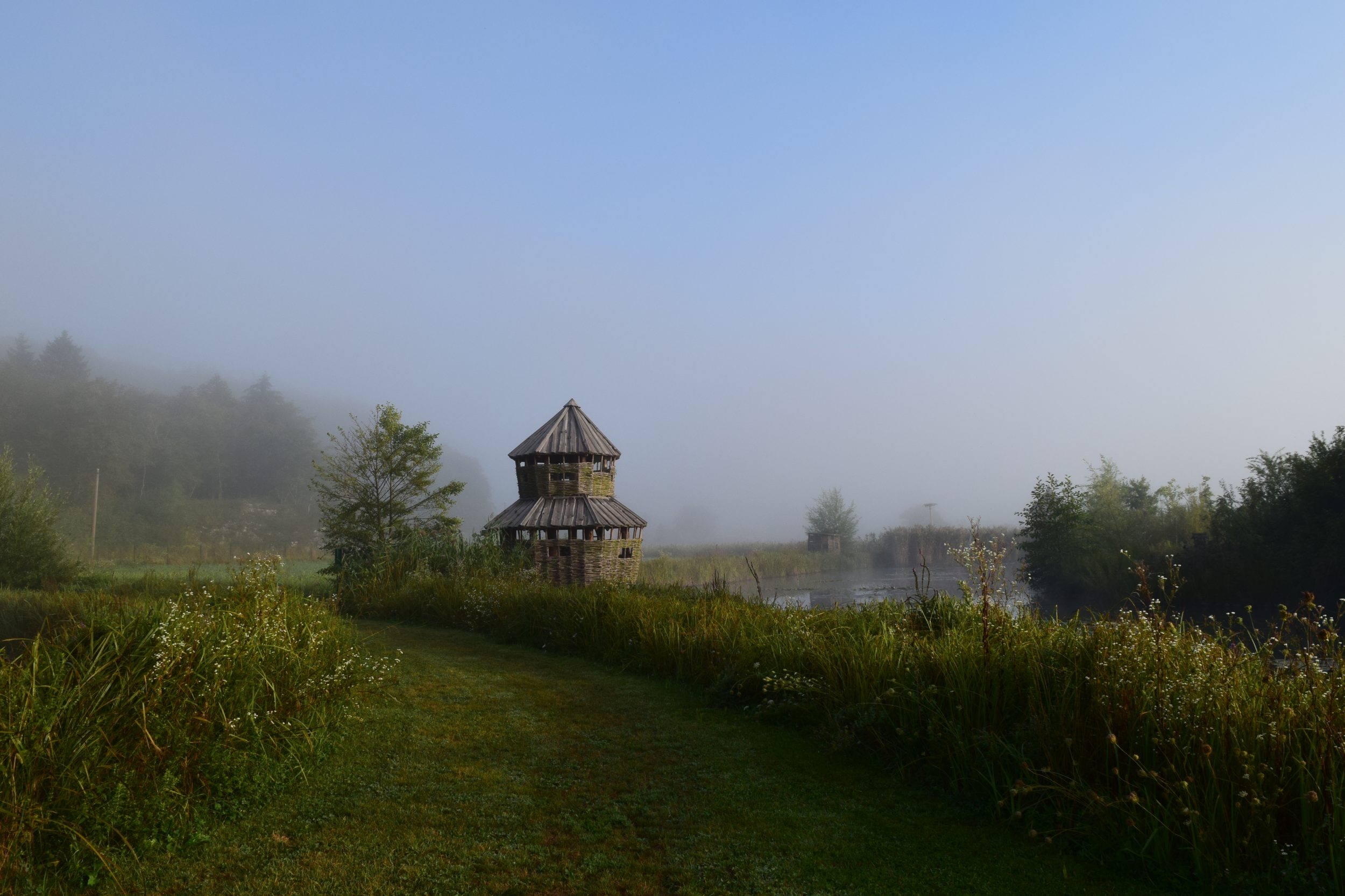
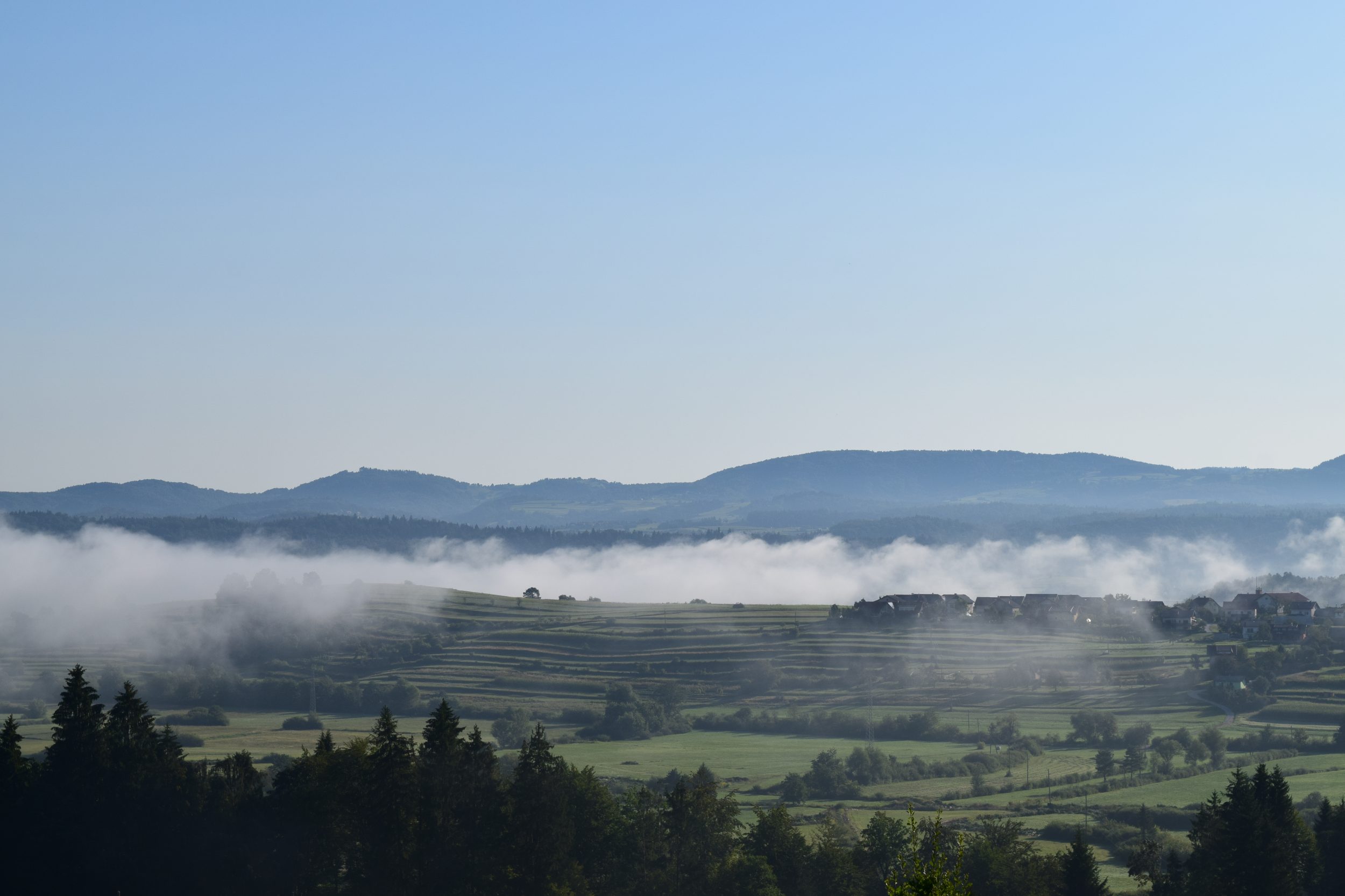
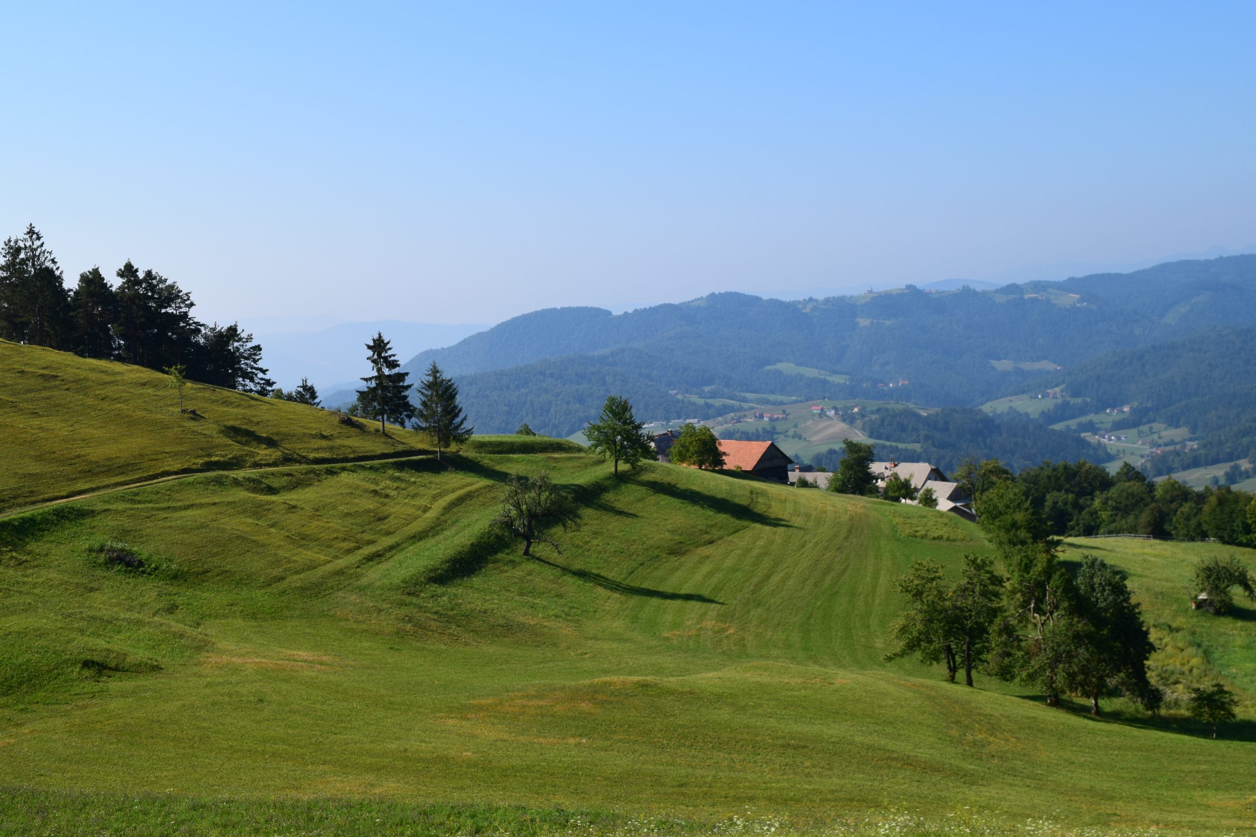
The best views can be find just below the church (bellow and the first photo with bench) and around church at the beginning of the village if coming from Železniki.

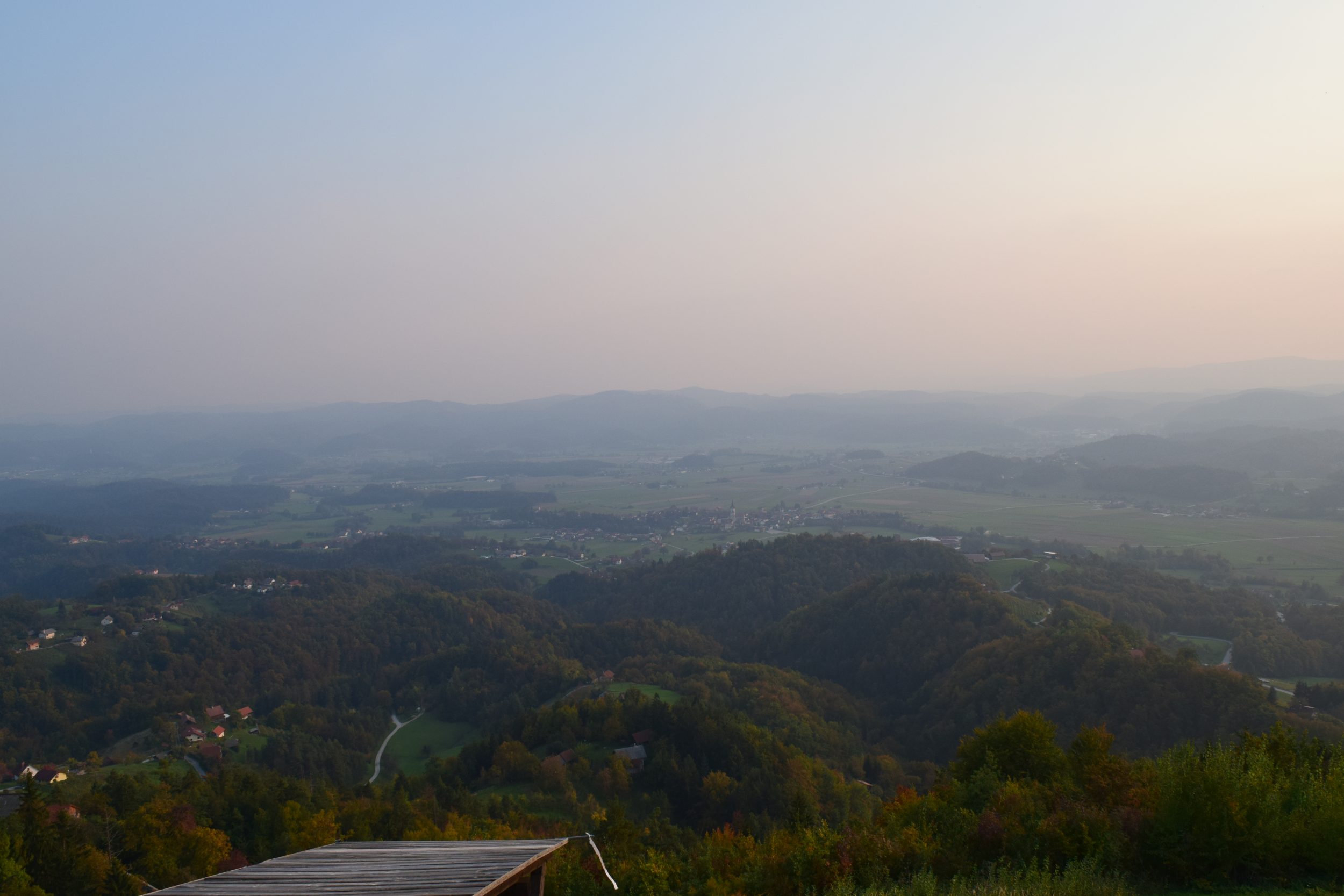
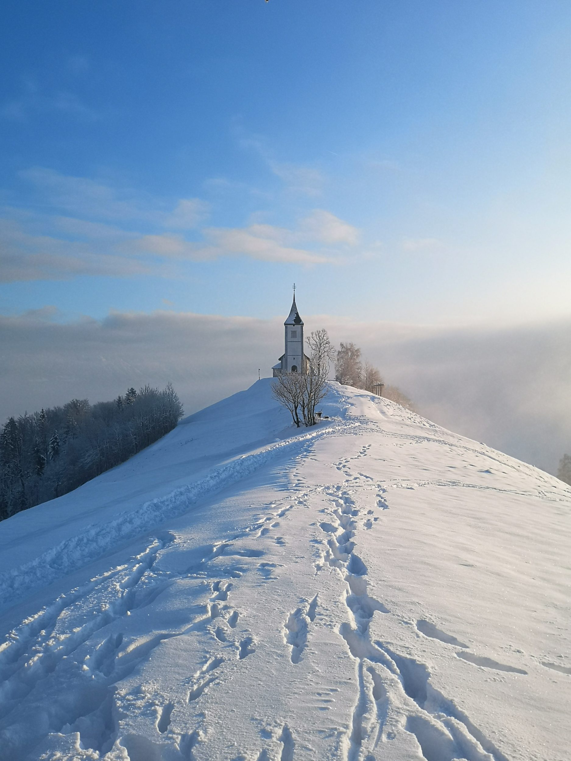
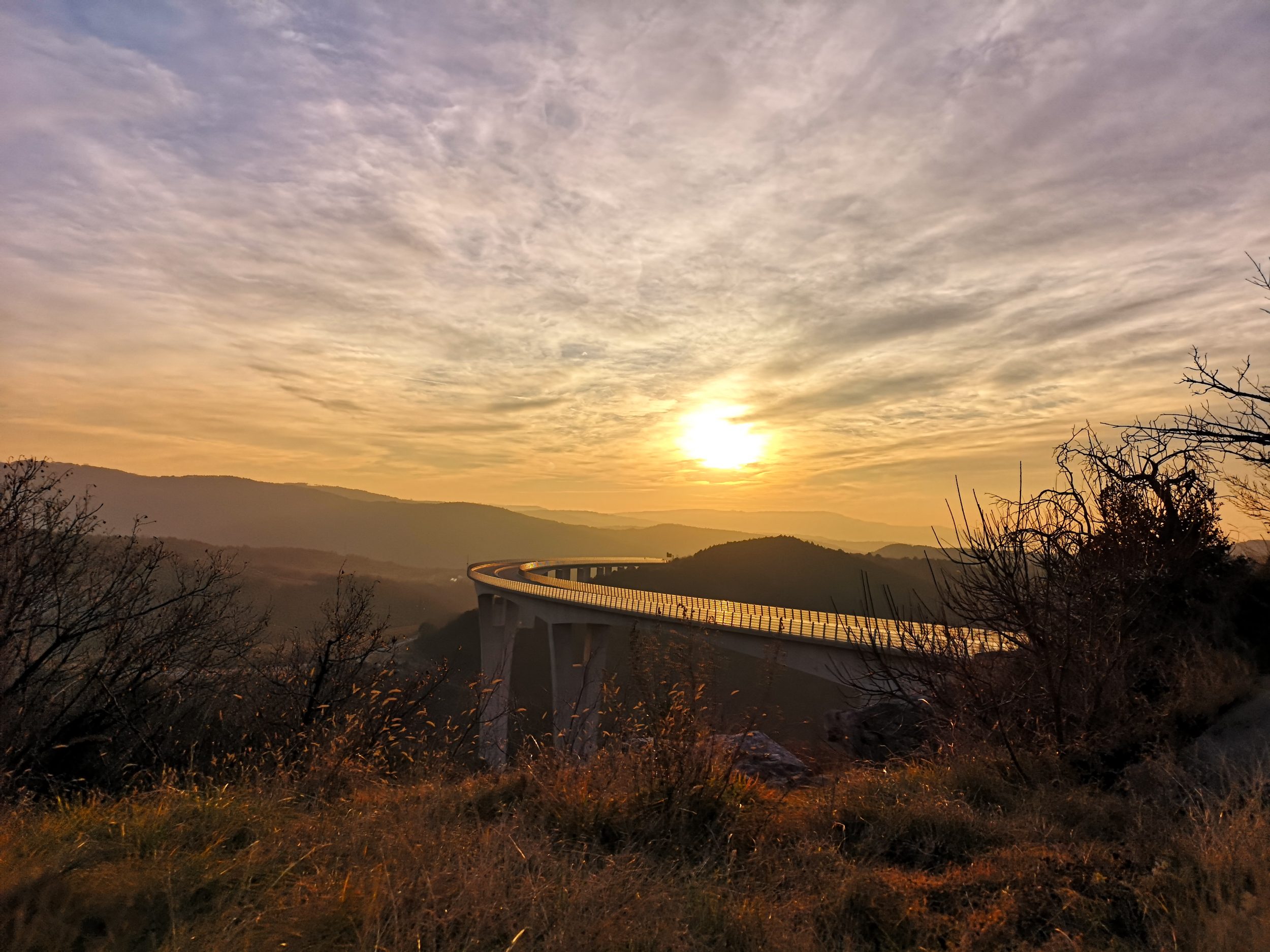
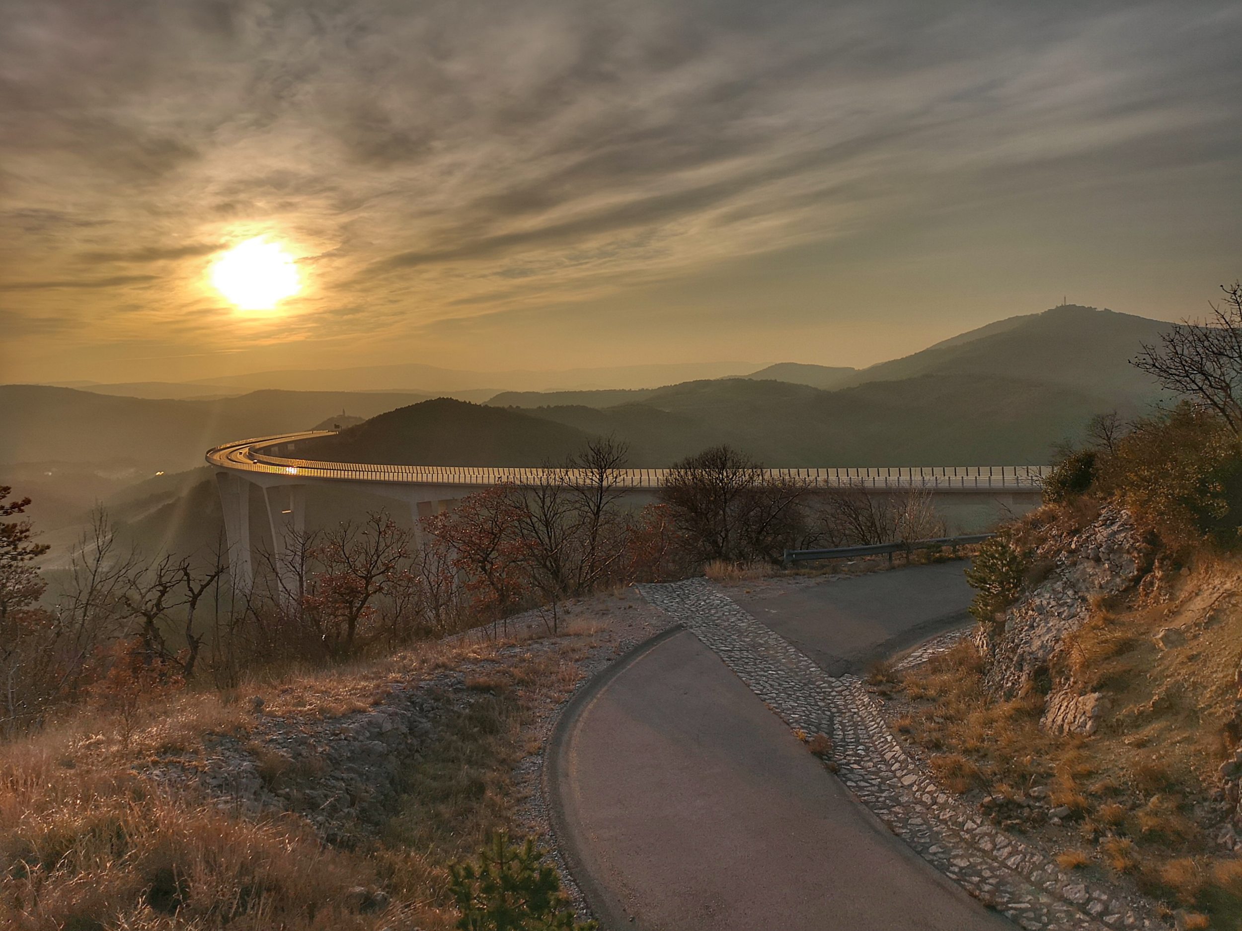
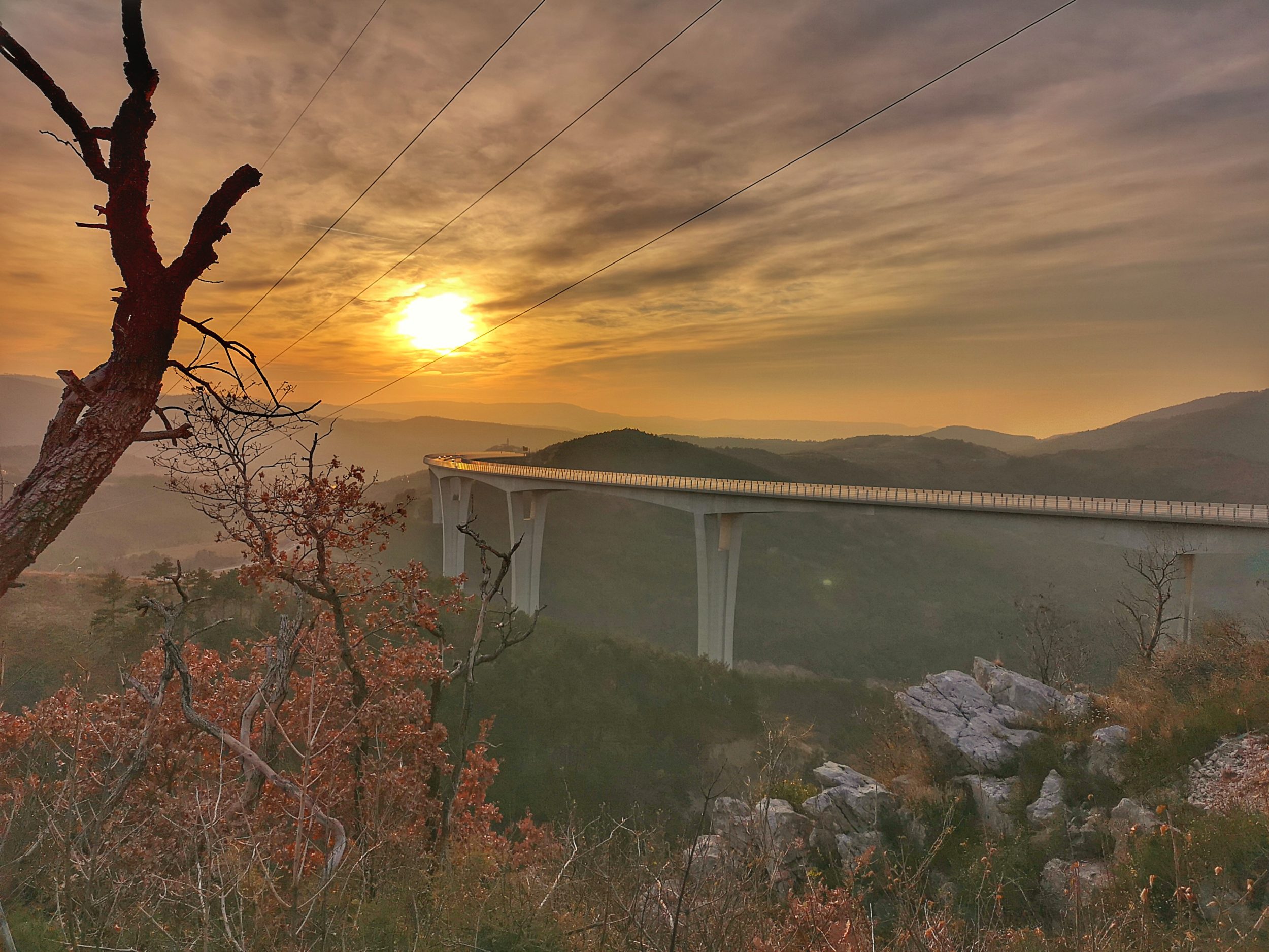
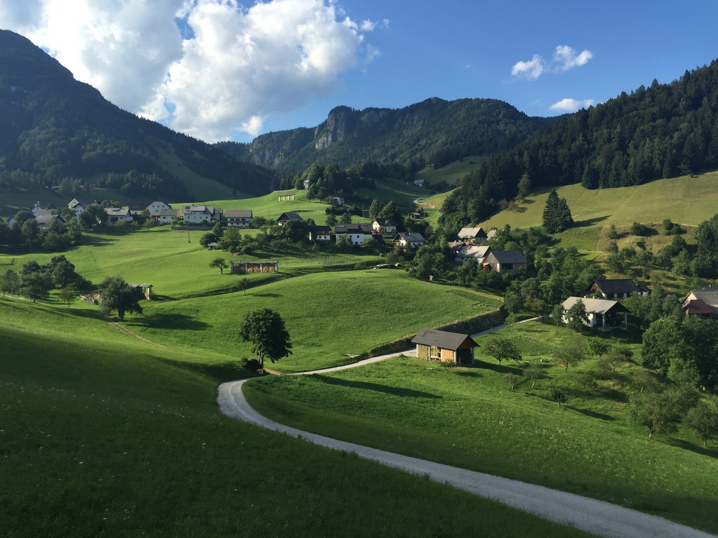
The second POV is at the coordinates given on the map which are above the village next t the road to Tolmin/Podbrdo. There is a place for a car or two at the first right bend, then enter the small path (photo with a second bench).

Zoran Leban Trojar @zokus_gf

Nebesa (Heaven)

The highest hill in the municipality of Šentrupert is called Nebesa (Heaven). We have no idea why but the views there are really – heavenly.

Dolenjska region of Slovenia is characterised by the soft rolling hills mostly covered with vineyards, small villages, lazy but magnificent Krka river and many churches on the top of the hills. One can not see the whole region from Nebesa but can get some of the best views of the landscape there.

We have visited it twice, once in the autumn evening and the second time in early summer at the sunrise. Sunset photos are fantastic and available throughout the year.

Direct sunrise can be probably caught from the late autumn till early spring. In other months sun rises behind the hill and lightens up the Mirna valley and the rolling hills around but doesn’t interfere with the lenses of your gadget.


The morning fog is pretty common there just to make the whole scenery even more magical.

The place is easy accessible with a car. There is a small tourist farm there which is open for public only at weekends but their toilettes are available at any time. This is probably a local cooperation with paragliders who have their ramp just next to the building.

We have mentioned sunrise and sunset time to be the best times to photograph here. Season wise we would recommend a colourful autumn, a snowy winter and late spring with the blossomed orchards and ripping fields.

We strongly recommend this less known place which could serve also as an inspiration for further explorations. Otočec Castle and  Novo mesto are pretty close!

Text and photos: Zoran Leban Trojar


Predjama Castle

According to Lonely Planet, Predjama Castle, 9km from Postojna, is one of Europe’s most dramatic castles. It teaches a clear lesson: if you want to build an impregnable fortification, put it in the gaping mouth of a cavern halfway up a 123m cliff. Its four storeys were built piecemeal over the years from 1202, but most of what you see today is from the 16th century. It looks simply unconquerable.


Taken with HuaweiP20Pro

Since it is located only a few minutes drive from the famous Postojna cave gets a lot of attention despite the remoteness of the area. In fact,  approaching it from the other side, from the direction of Planina, one drives through the parts of Slovenia which are pretty unknown even to the natives of Slovenia.

Taken with HuaweiP20Pro

The place is really fascinating and calls to be photographed. It is easy to capture with a mobile camera. However, given the castle is already framed in the rock and it is not easy to get a lot of background in the picture, there are not many options left to make a difference with the shot. In addition to that it could be pretty soon in the shadow, but when lit with the sun the light can be pretty strongly reflected off the walls. Fortunately there are enough elements available to help with the dynamics of the shot, especially off the season when it is not too crowded.

Taken with HuaweiP20Pro.

A few different angles available can be used according to the number off people around, the weather conditions and the season. Winter time is obviously off season so the surroundings can be pretty plain and dull. In the snow everything change to the better.

Taken with HuaweiP20Pro

The view from the road leading to the entrance can be combined with some plants. Stairway leading to the stream bellow – which runs into the cave underneath the castle – can be a great leading line as well as the sitting elements at the restaurant nearby.

The lower levels offer more interesting shots in other seasons than winter but always give a strong feeling of the castle’s splendour.

Taken with HuaweiP20Pro.

Behind the largest cave castle in the world, there is a network of secret tunnels, from where the knight Erazem of Predjama would set out on his plundering expeditions. The Cave under Predjama Castle is the home of a colony of bats.

Text and photos. Zoran Leban Trojar

Jamnik, Church of St. Primus and Felician

Jamnik is a really small settlement on the eastern slopes of the Jelovica Plateau, literally bellow the less traveled road between Kropa and Dražgoše 

The village of Jamnik. Taken with HuaweiP20Pro.


There are many similar villages scattered around those hills, but Jamnik is famous by its Church of St. Primus and Felician, which is built close to the village at an impressive location on a hill overlooking most of the northern part of the Ljubljana Basin with the mountain chain of Karavanke  as a backdrop towards the north and the Kamnik–Savinja Alps towards the east.

IMG_7360

The location has a special feature similar to Lake Bled or Lake Jasna – it is photogenic in all seasons and almost all weather conditions.

Kamnik – Savinja Alps in the background. Taken with HuaweiP20Pro

We have to admit that this  is not the only church atop a hill in Slovenia and many of them offer great sights and photo opportunities. Nevertheless Jamnik is probably the most photographed one and definitely owns a lot of its fame to the spread of social media like Instagram and others.

jamnik

Already the road to the church itself is a fascinating view and each step further reveals a different scenery. It is beautiful in all conditions, even in a moody good weather, when fog and mist can make the picture totally mystical.

Taken with HuaweiP20Pro


Taken with HuaweiP20Pro

Never mind if on the day of your visit mountains in the background are hidden behind the clouds – it’s a dramatic view and you would have an excuse to come again to catch the sunrise maybe.IMG_7366


Catching the sunrise was our goal in the winter of 2019 but the fog kept coming from the valley.

Taken with HuaweiP20Pro

In late spring and early summer everything is so green and blossoming, but it has a special charm in winter, too, especially if snow covers also the mountains behind. Sun rises above mountains somewhere just behind the church, depends on the time of the year, and sunset can colour the same peaks in psychedelic colours.

IMG_7362

If happens that this would be your first visit to the region, steep hills can surprise you, but for centuries people around here survived farming on the same hills.

Taken with HuaweiP20Pro

Coming from Kropa you would find an exit leading to the church just when road slowly becomes less steep, but watch out since it is very narrow and windy all the time. Only two or three cars can park there so if you find it full just continue, about 300 m further you can find more space just above the village itself.

Taken with HuaweiP20Pro

Coming from the Dražgoše it is probably the best tactics to park the car wherever available once you spotted the church and entered the village area. A few steps more can do no harm but offer even more fascinating views.

IMG_7364

Taken with HuaweiP20Pro

Zoran Leban Trojar @zokus_gf

Črni Kal Viaduct

The Črni Kal Viaduct is the longest and the highest viaduct in Slovenia, located on the A1 motorway just a few kilometres before reaching the city of Koper from the direction of Ljubljana. It runs above the Osp Valley between the village of Gabrovica and the village of Črni Kal by which it got its name.

At the highest point it rises 87.5 m above the valley and it the foggy days many times just peaks above the fog. Its shape presents a nice leading line and it is directed towards west so the sunsets can be pretty spectacular. Since it is pretty close to some photo spots a long exposure photography is possible. No wonder that it became a popular photo object in the last few years with the rise of Instagram.


The viaduct is 1,065 metres long and runs from the slopes of Kraški rob, where the karst of Slovenia ends , to the rolling hills of Istria. The easiest photo spot to reach is the quarry on the left side of the 409 road just before the village of Črni Kal from the direction of Kozina. Park the car just before the working area of the quarry and the first photo spot is just a few metres away. In fact, there are a few of them so one can choose the angle which suits the situation.

Following the narrow road just bellow the quarry a new angles and photo spots open every few steps and a road itself can be a part of composition as well. A small slope on the left before the bend in the photo above is also one of them.

Descending from the slope on the left a few other spots can be reached closer to the viaduct but at some point is starts to run parallel with the eye of the camera so the road is not visible anymore. Before reaching such a point some interesting compositions are available.

One is the view of the Y-shaped columns, the distinctive feature of the viaduct, rising from the valley. Obviously a fire devastated a part of the area a few years ago and left behind some trees which come handy to make a different photo.

All spots are close enough to take decent photos with a good camera on your phone. We used Huawei P20Pro in different modes, against direct light mostly HDR and and Sunrise/Sunset automatic mode. There is another spot to photograph the viaduct, located just above the village of Črni Kal, namely at the Fortress of Črni  Kal. However it is much higher above the viaduct and more distant so the phone camera probably won’t be enough.

Text and photos: Zoran Leban Trojar


Novo mesto – Ragov log

A beautiful wooden bridge connects the NE end of the old town with the peaceful and mysterious woods on the right bank of the Krka river, Ragov log. A pleasant 15 minutes walk through the woods connects this bridge with Kandijski most bridge in the city centre, the main photo spot of Novo mesto.

A shot from the left bank towards the woods is definitely a better option, especially with some fog in the early morning, snow or colourful autumn would do no harm either:).

Following the river downstream one would find a boathouse not far from the bridge. It is not in the best shape, so be cautious trying to get a shot with the colourful boats. From there a nice view of the bridge over the river opens up as well.

The upstream part of the river bank from the bridge is located bellow the buildings and it is not easy to get close to the water. The views are nothing spectacular but with some luck one always find a nice motif.

The bridge view from this side comes with the buildings in the background but with some dramatic skies and probably autumn colours and/or mist one can always make a nice capture. Not at the time of our visit though.

From here a path leads uphill to the old town – pass the Court house and stay above the river in Šolska ulica street, than follow the first opportunity back to the river to reach a small dam if you want yet another angle of the river and the Ragov log itself.

Now the best way is to head to the old town and enjoy the rich architectural heritage of Novo Mesto!

Text and photo: Zoran Leban Trojar @zokus_gf

All photos are taken with HuaweiP20Pro courtesy of Huawei Slovenija.

Novo mesto – Kandijski most

Novo Mesto  is the city on a bend of the Krka River in the City Municipality of Novo Mesto in southeastern Slovenia, close to the border with Croatia. The town is traditionally considered the economic and cultural centre of the historical Lower Carniola region. The old town is located right at the meander made by the beautiful Krka river. Unfortunately the main square and the most interesting old street Pugljeva ulica were completely under reconstruction in the time of our visit so the only close encounter with the historical part we made was passing by Capital Church (Kapitelj) which overlooks the old town from a small hill, on the approach to our photo spot – Kandijski most bridge. (Note: all photos are taken with HuaweiP20Pro, no edit).

The Kandija Bridge (Slovene: Kandijski most) or the Old Bridge (Stari most) is an iron bridge which connects the old city on the left bankof the Krka River with Kandija, a historical suburb of Novo Mesto, on the right bank of the river. The bridge stands at the lower part of Glavni trg. Wikipedia says that it was built in 1898 to replace the old wooden bridge from 1600, located a few dozen metres upstream. The riveted structure bridging the Krka with a single 75-metre (246 ft) arch is a unique structure in Slovenia.

View from the Boter bar towards old town.

Most photos of Novo mesto which can be seen on Instagram (there are not many though) are from this bridge, the most classic view is of the old part with the Kapitelj church. With some fog on the river or at the sunset the views (and photos) are truly glorious.

But make no mistake, the views downstream are not worse at all. Calvary Chapel Church with Franciscan Convent dominate the sight on the left bank and the mysterious Ragov log forest on the right.

The bridge itself offered an interesting view when we crossed the river – we have never seen so many spider webs on any bridge, ever.

The river bank is easy accessible so one can get under the bridge as well, a change of the angle never hurts and reflections are much better when close to the water.

There is a bar with the terrace on the river just a few meters away, besides having a new angle again we were also lucky to spot local fisherman in an unusual vehicle for such an activity.

Some other spots are located upstream towards the main bridge but we decided to follow the path through the Ragov log grove which begins just behind the Kandijski bridge downstream. In the first few hundred meters some spots can be reached close to the river to get another angle at the Franciscan Convent.

After that the path follows the river but much higher on the slope, the woods are pretty thick and there is no access to the river and no photo spots either until the Ragov log bridge is reached after some 15 minutes of a pleasant hike. The photo spot there deserves a separate description, here is a photo just for the feeling.

Text and photos: Zoran Leban Trojar @zokus_gf

Photos made with HuaweiP20Pro, courtesy of Huawei Slovenija

Županova jama Cave

The caves are usually not easy to photograph at all, even less with mobile camera only. Some of the best known caves which are open for public even forbid photographing. Županova jama is somewhere in between. It is open for public with guided tours but there are only one a week. It is not too crowded and has just enough light for photographing. The entrance is located in charming woods a few kilometers from Grosuplje in Central Slovenia.

Županova jama is the most beautiful cave in the Dolenjska region, located near the village of Cerovo and only 700 metres away from another attraction of the area, a fortified historical church known as Tabor. The Županova jama cave complex was discovered in 1926 by the then mayor of Šentjur, Josip Perme. Before his discovery, the locals were only familiar with one of the cave’s chambers, which they used as an ice pit.

The 330-metre long cave complex extends to a depth of 122 metres. It can be accessed via 478 stairs and a 600-metre long pathway. Besides six chambers, it contains all the curiosities of karst caves, including abysses, tunnels, all kinds of dripstones, shallow calcerous sinter pools, and ice dripstones in winter.

Just a few minutes away is another great photo spot, the educational nature trail Following the Kingsfisher’s Trails in Log near Cerovo.

Text and photo: Zoran Leban Trojar @zokus_gf

Log, Cerovo

A small private nature educational trail Following the Kingfisher Trails just bellow the village of Cerovo near Grosuplje in Central Slovenia consist of two small ponds and a few lookout towers. It is a really great spot for observing and photographing birds and other animals. The best time to photograph is early in the morning. Occasional morning mist is just a bonus.

Just above the village stop at the side of the road to capture some more misty scenes over the meadows.

Ring the owner to book your visit. Just a few minutes away is also an underground photo spot Županova jama cave. Enjoy!

Text and photo: Zoran Leban Trojar @zokus_gf

St. Ursula

St. Ursula is one of the many small churches on the slopes and peaks of the hills around Polhov Gradec in Central Slovenia which provide for some fabulous photo motifs. Where to in Slovenia features micro locations for mobile photography and sometimes micro stands for really – micro. This one fits into the category but still offers many different views and options to compose a photo.

All of the featured photo spots are on the map with exact positions so we won’t bother with navigation, let us only tell you that reaching St. Ursula can be a pleasant short hike from the touristic farm reached by car or a longer one from the valley. The church is visible almost all the time on the shorter hike.

The peaks of Mala Grmada and Grmada in the vicinity of St. Ursula are popular hiking destination in these hills.


The “rear” view is a kind of Slovenian classic and since nothing disturbs the composition it is probably one of the best of the kind as well.

However, the church itself is only a half of the story.

The other half is definitely the view of the surrounding hills over the meadows above the farm.

St. Lawrence is another peak with a church just over the valley.

Personally we can’t wait to hike there again to observe the sunset – location is just right for that. Enjoy!

Check out also the great views of the Črni vrh in the vicinity!

Text and photos: Zoran Leban Trojar @zokus_gf