Posts

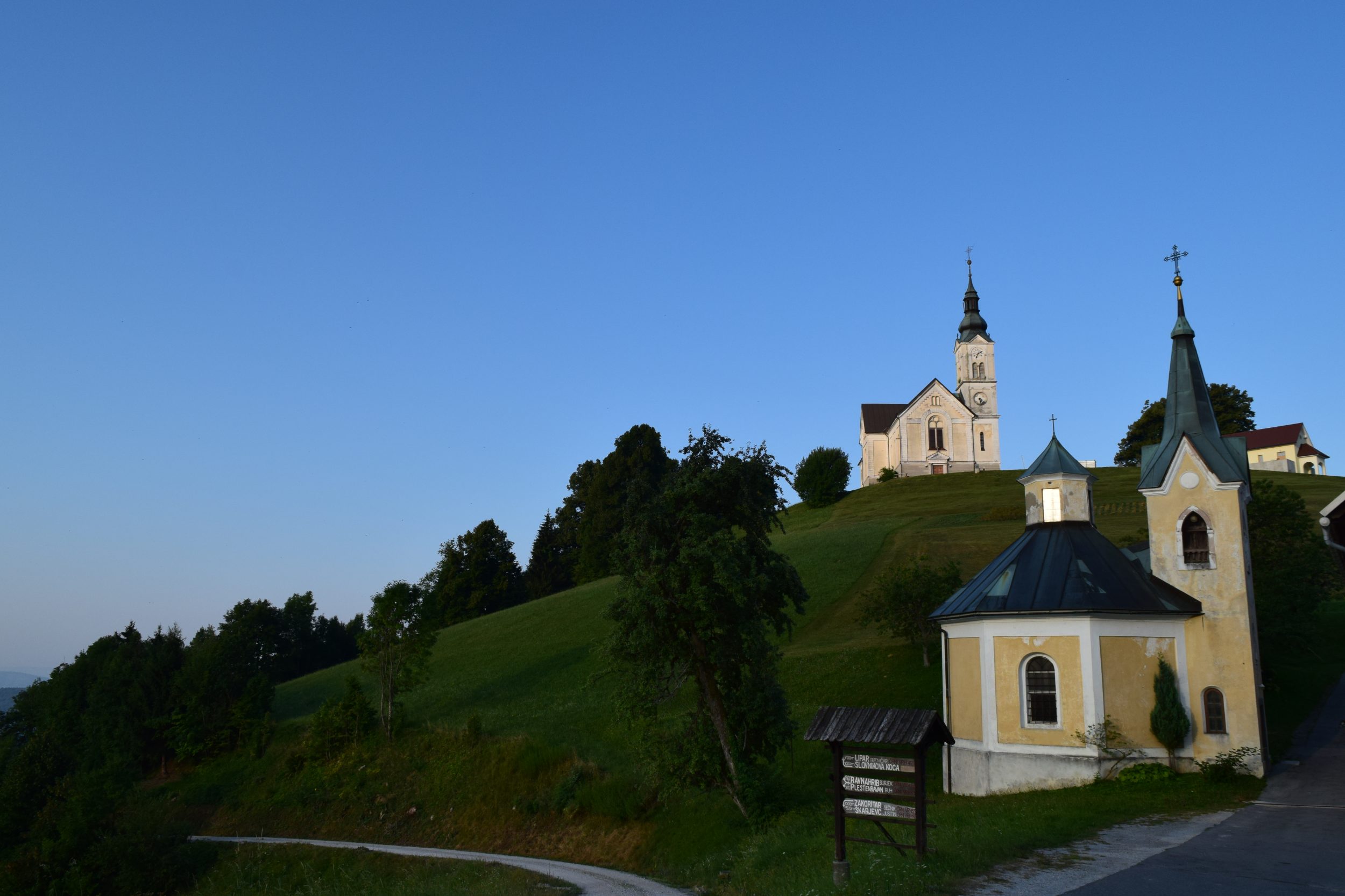
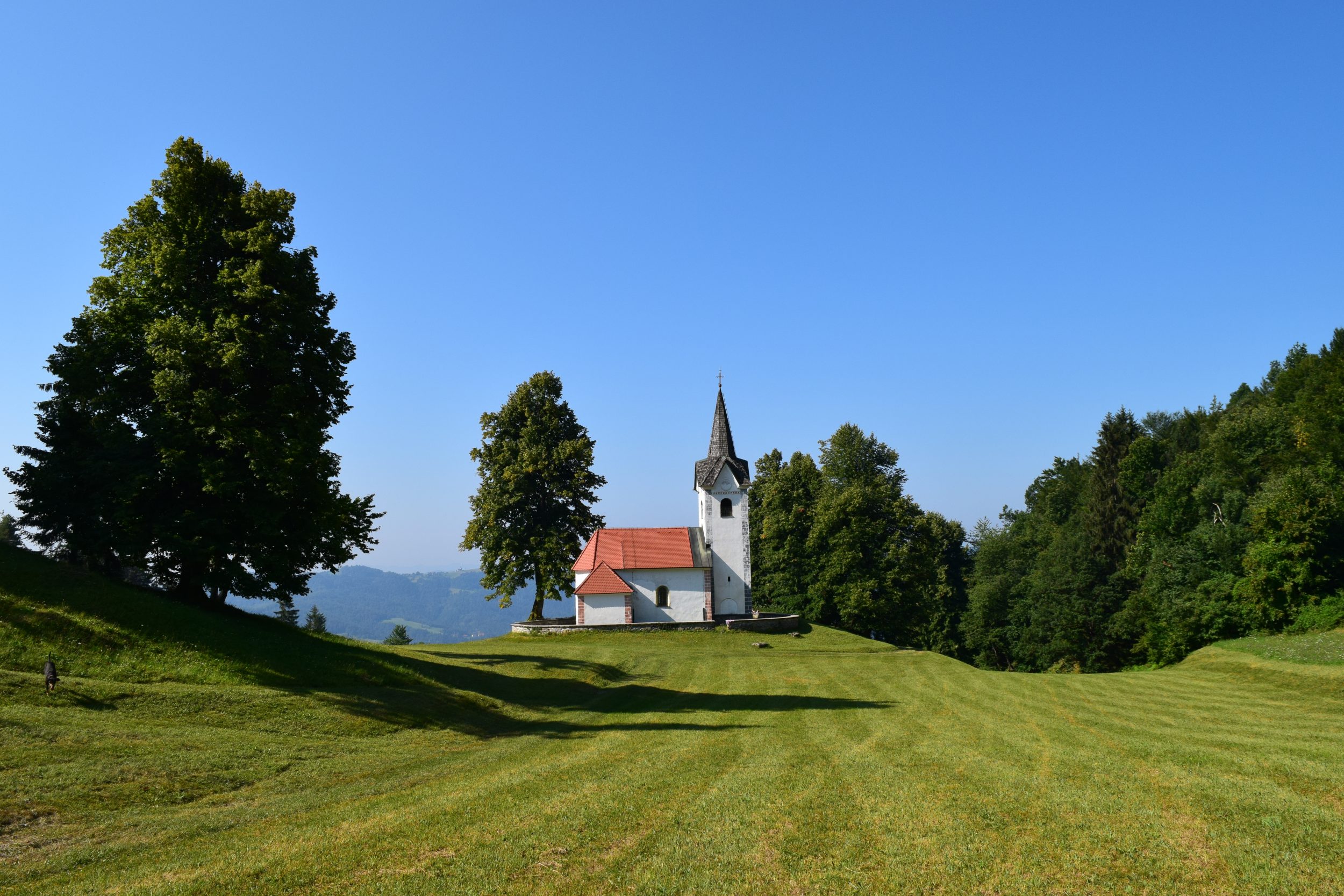
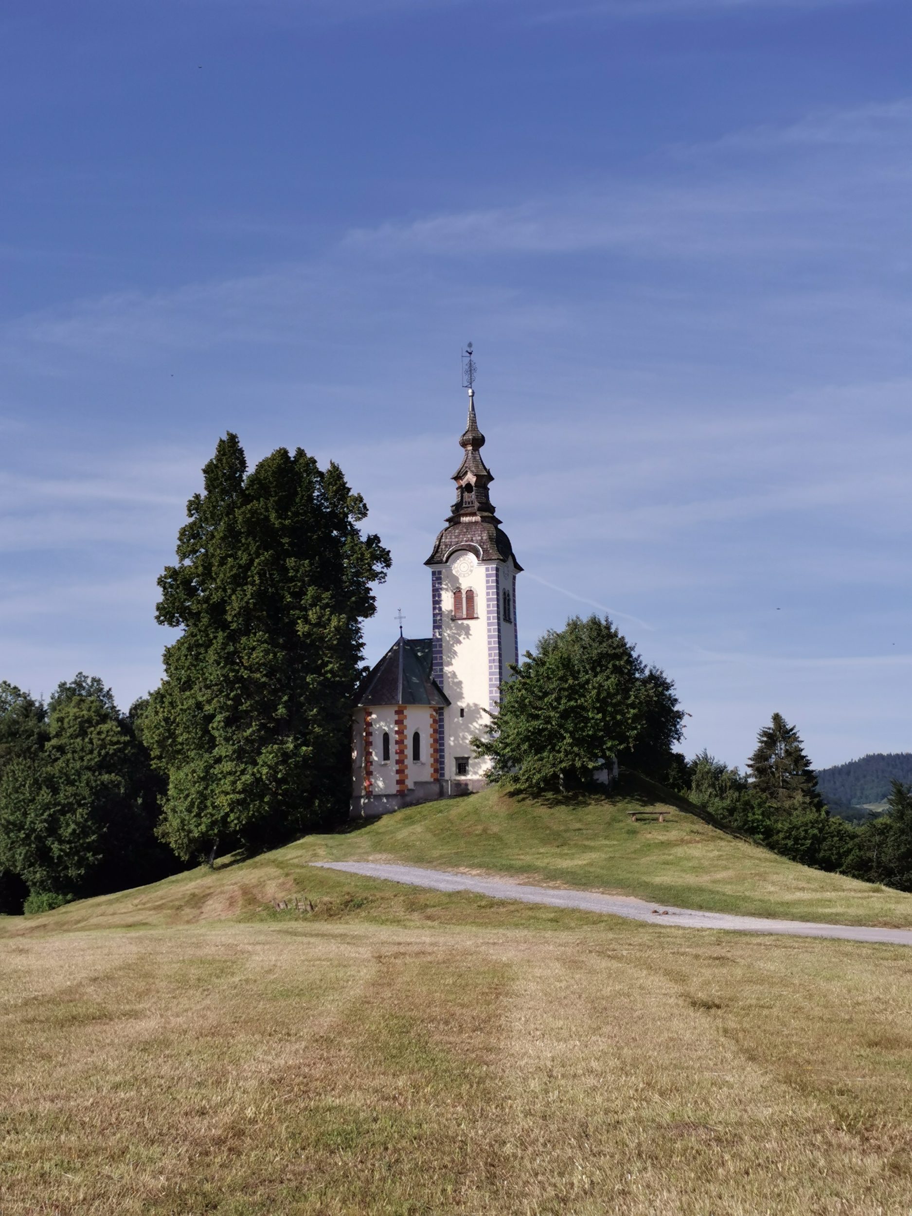
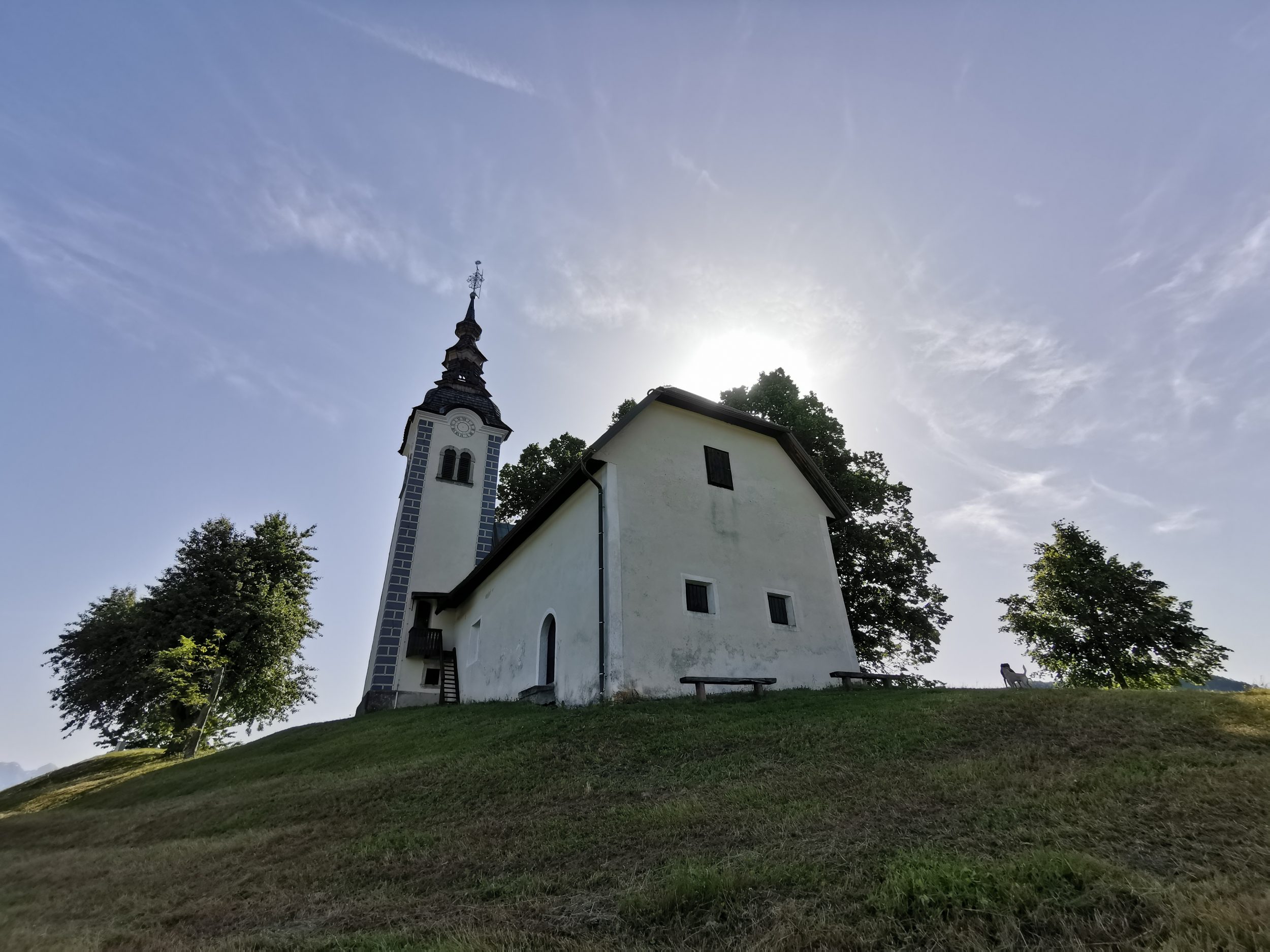
Škofja Loka – Sv. Andrej (St. Andreas)

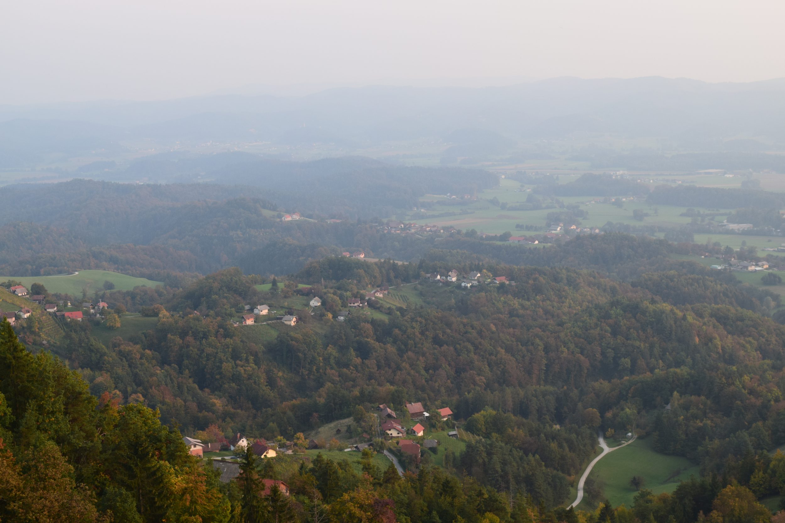
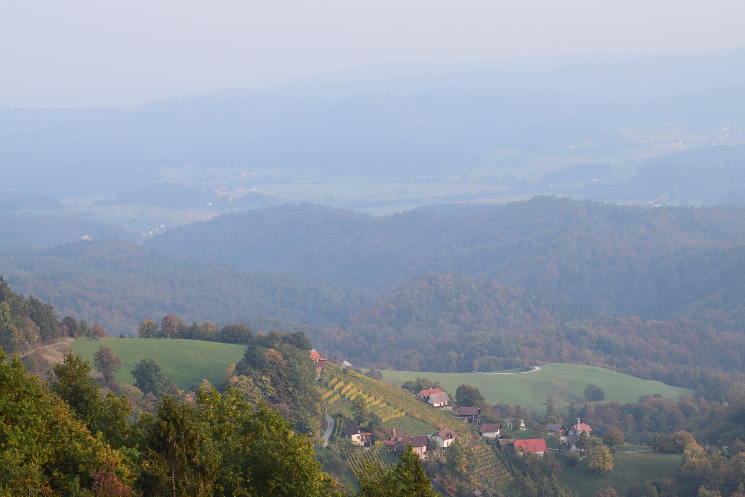
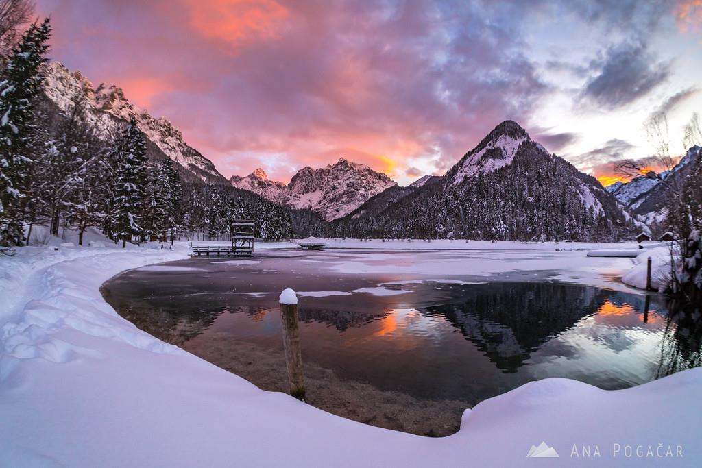
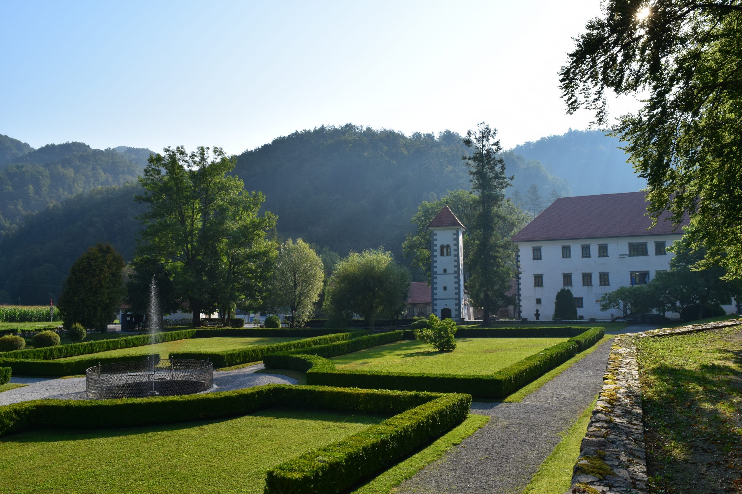
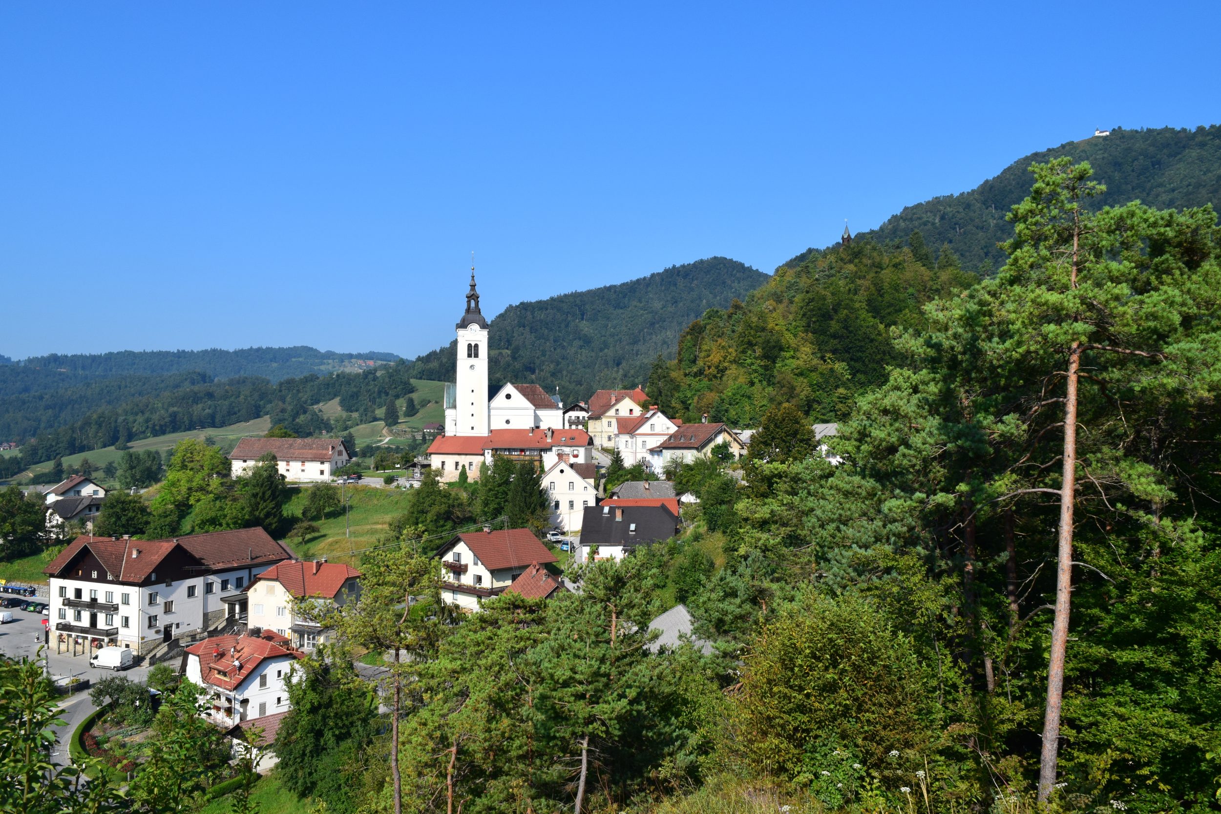
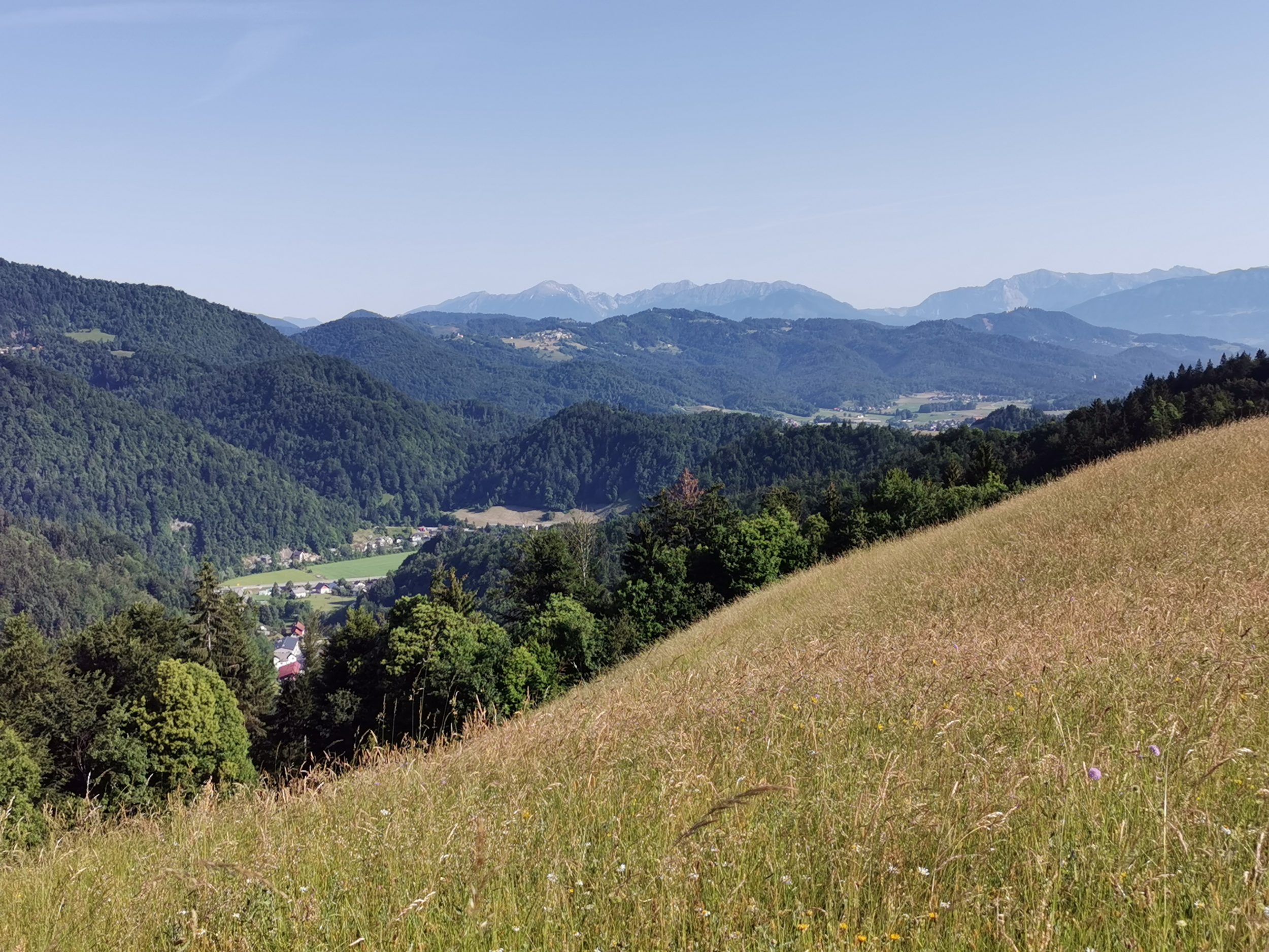
The wider region of Škofja Loka consists of two valleys, Poljanska dolina and Selška dolina, which are both populated with some bigger villages and towns. All around and above the valleys are pretty steep hills of Škofjeloško hribovje. On their slopes and in some small and narrow valleys are countless small dispersed settlements, lone farms and small churches. A lot of those churches are built on the top of the hills or on the places which overlook the surroundings. One can not help but think of them as a kind of communication channel – not only connecting settlements in prayer but also advertise an event or even danger, as it was the case in 15th century Turkish invasion.

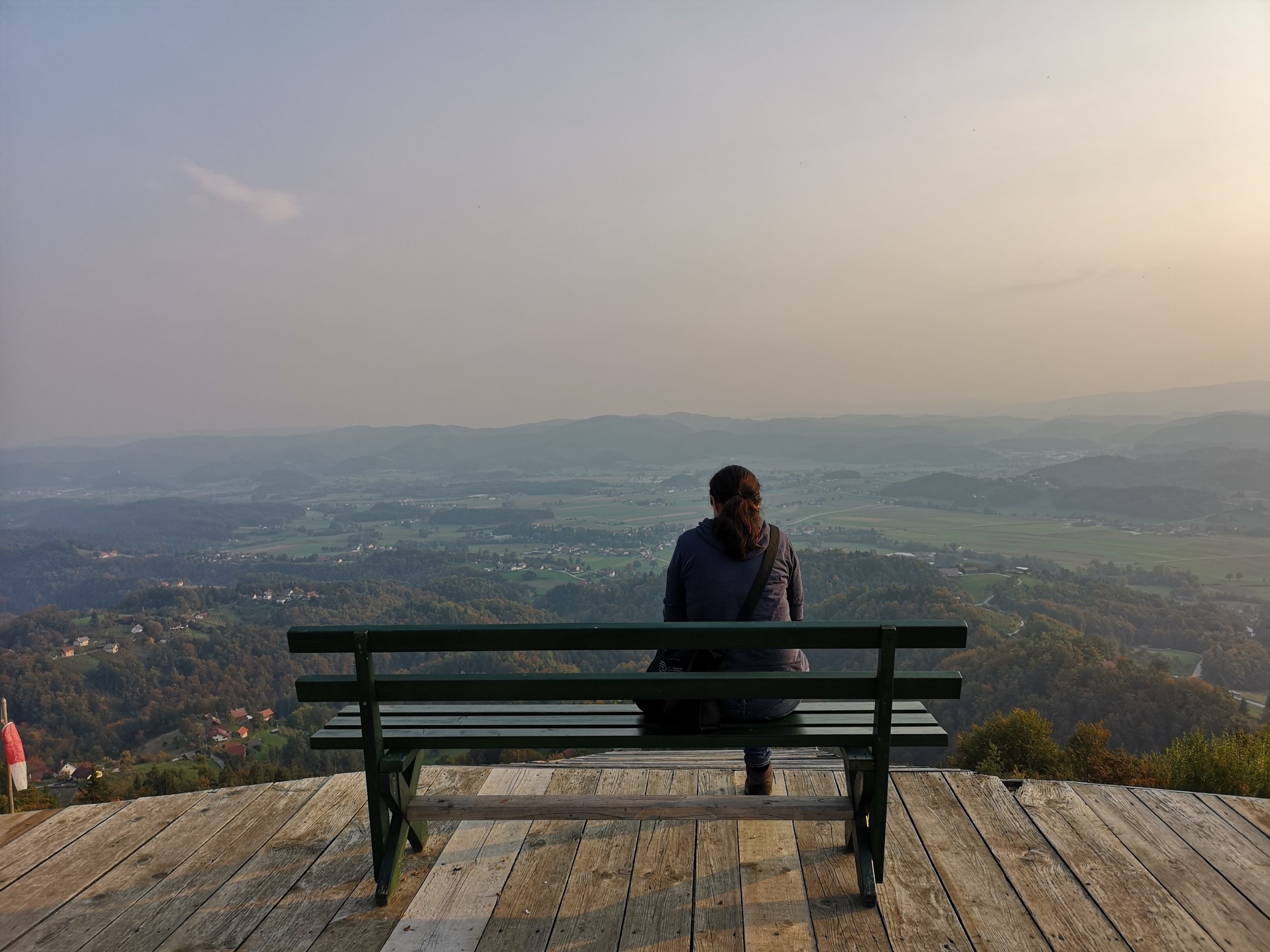
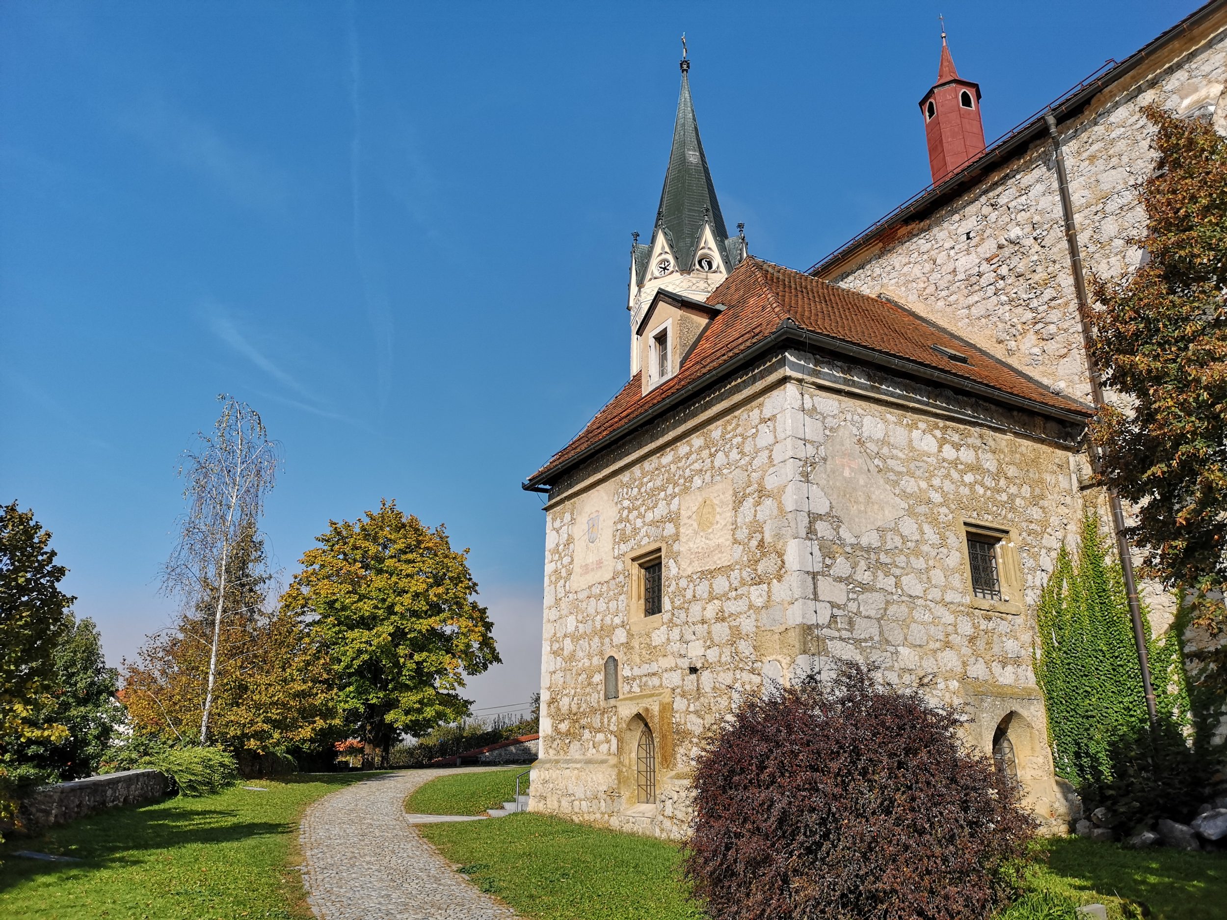
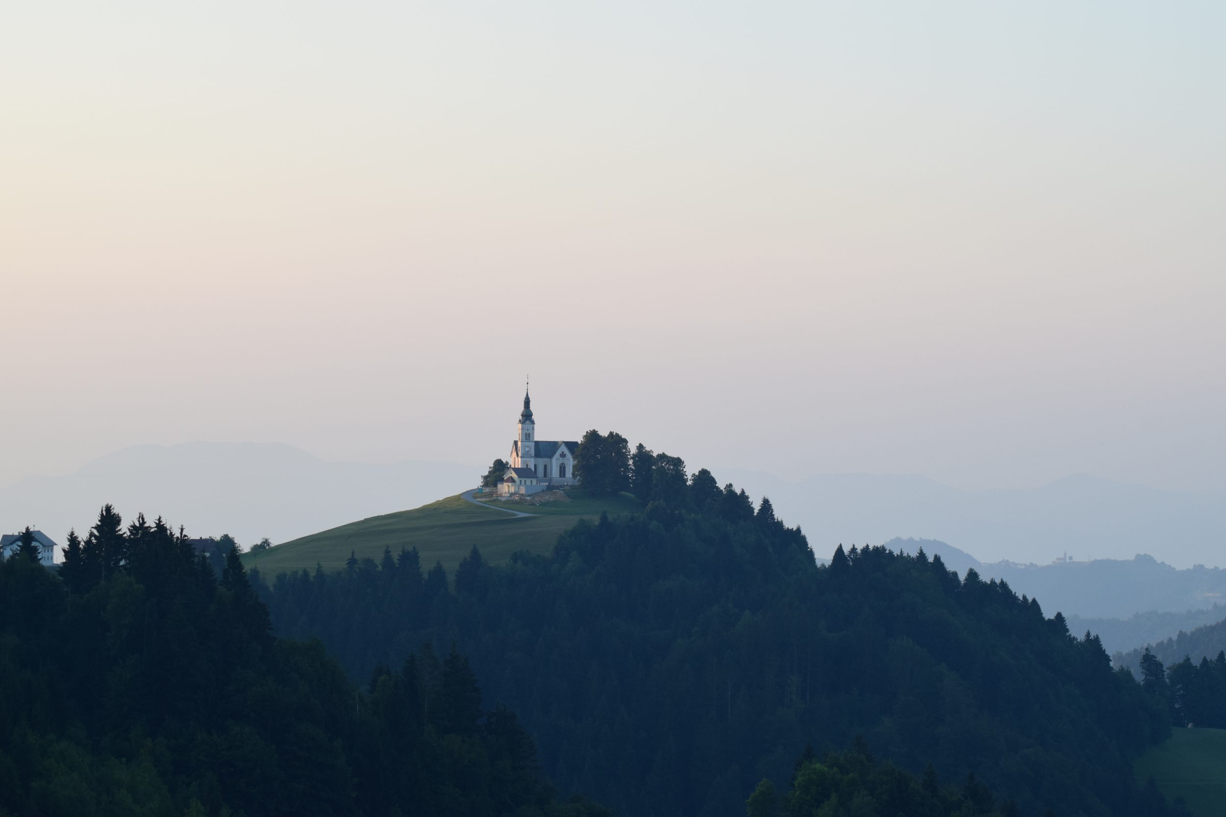
St. Andreas is one of them – a really small and dispersed settlement and a church with a View, only a few minutes drive from Škofja Loka.

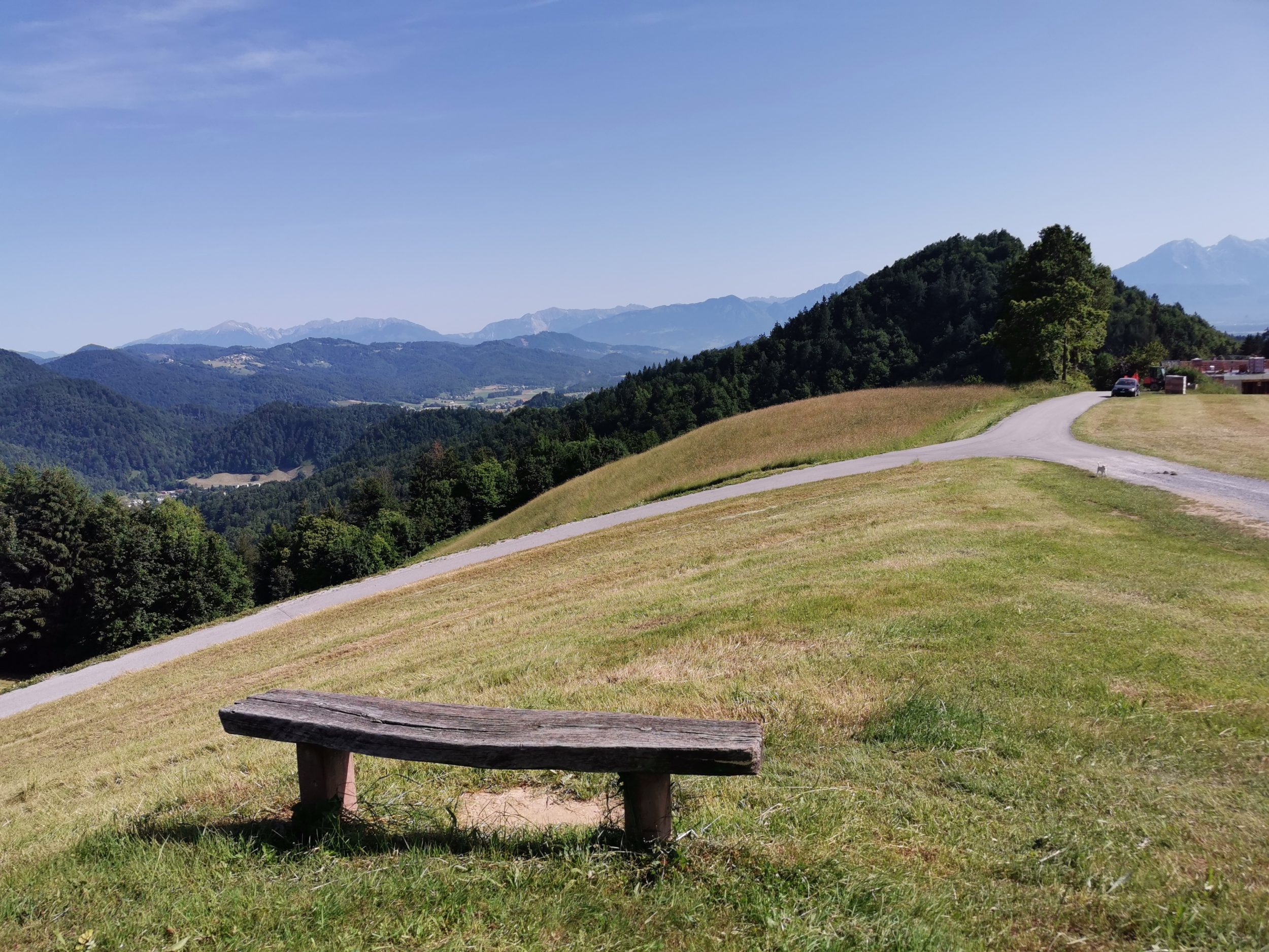
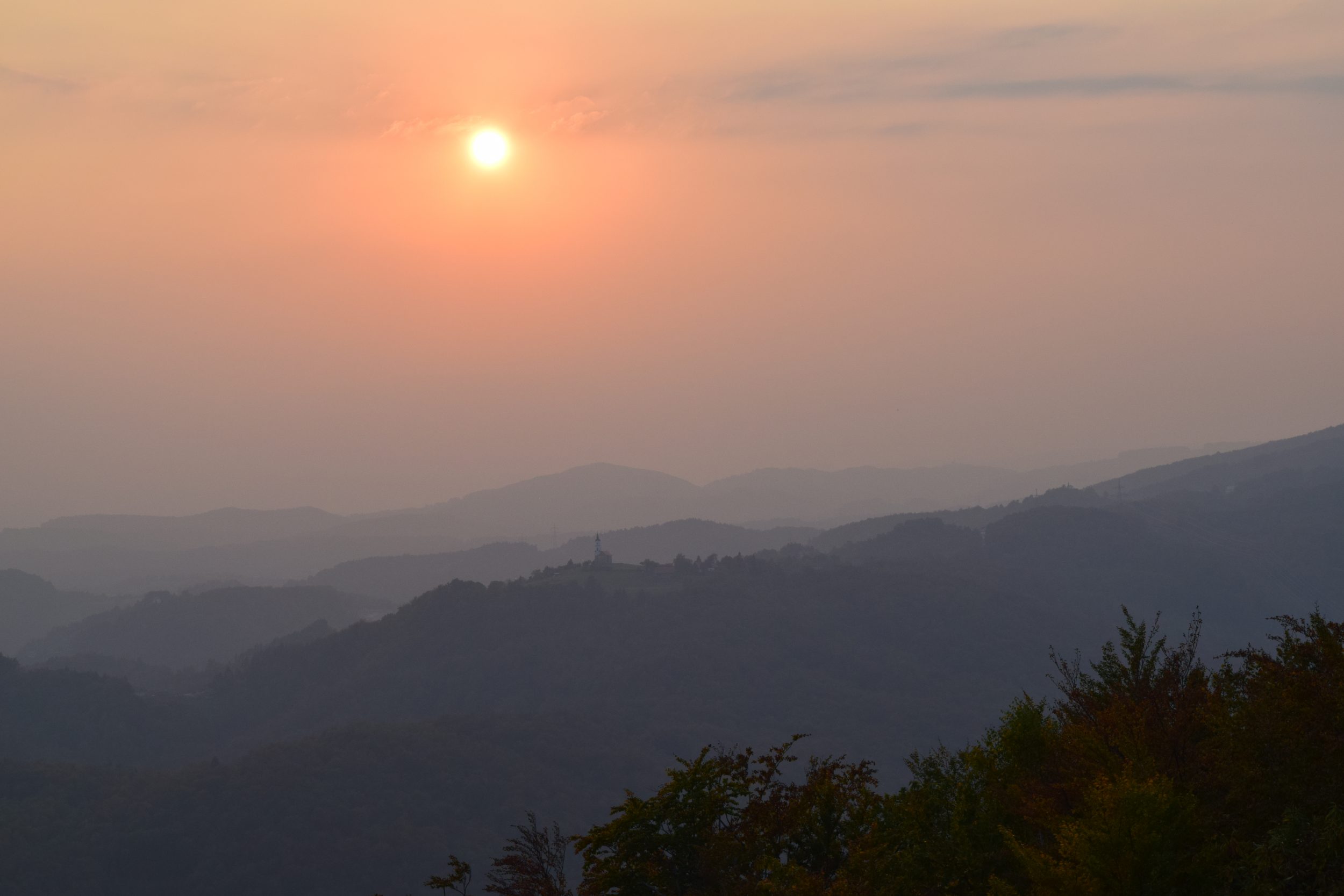
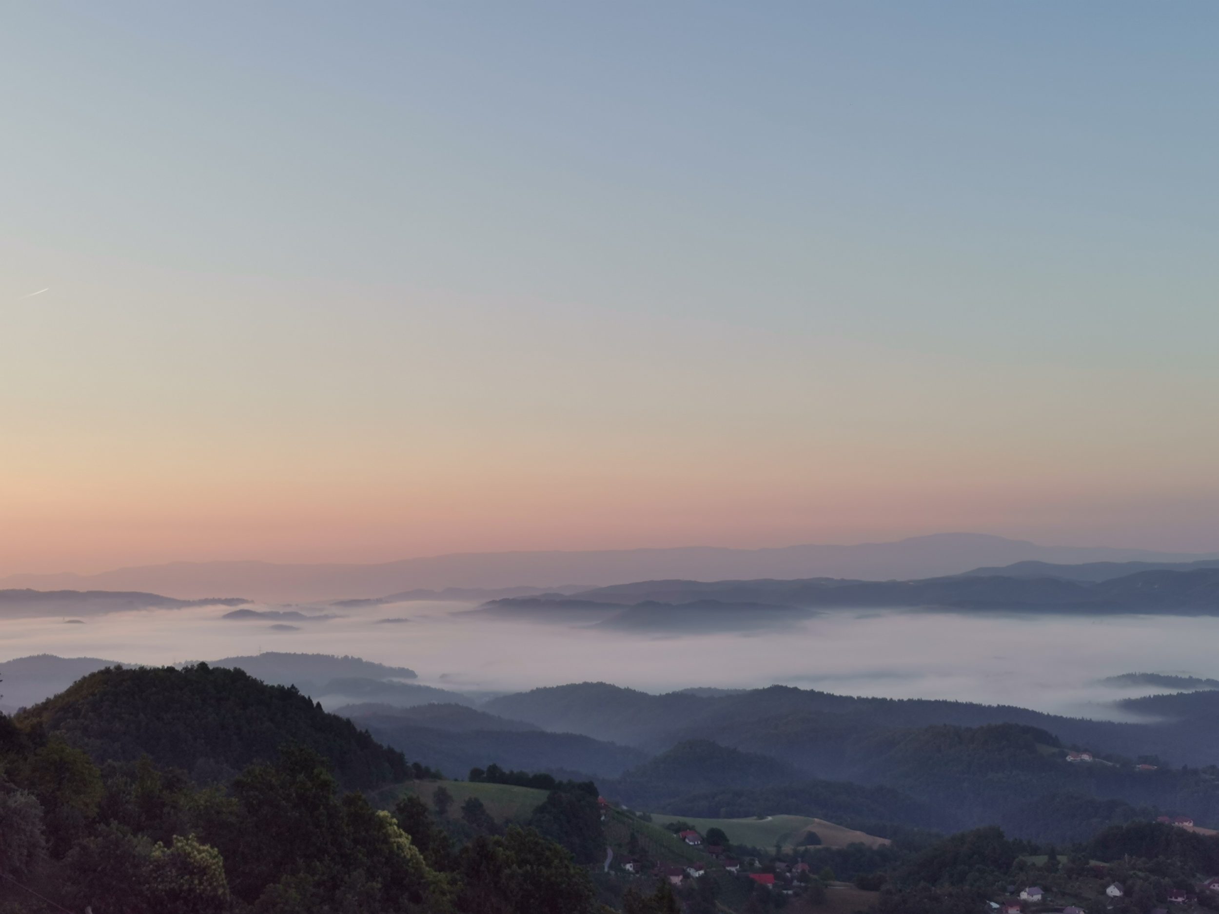
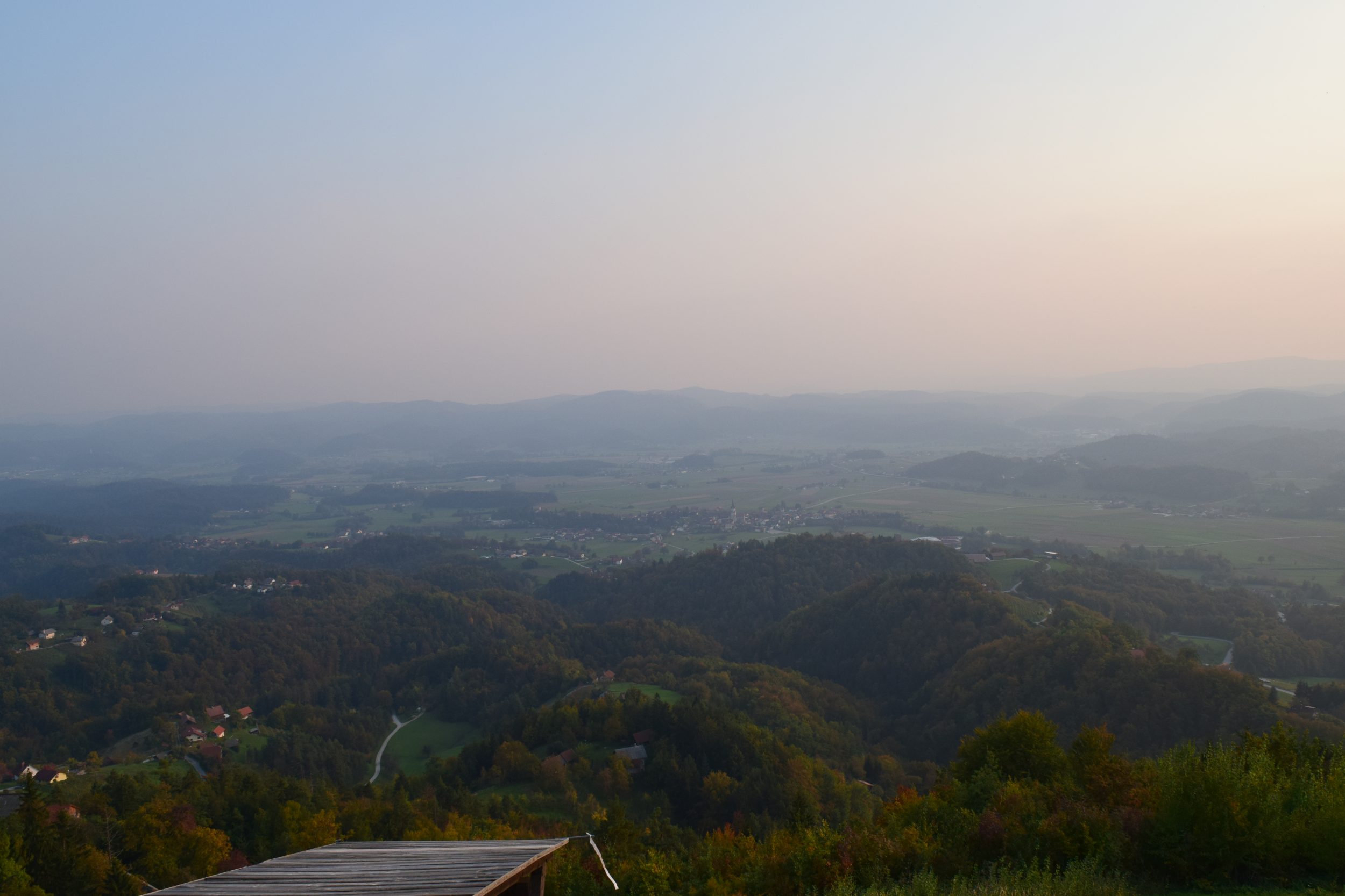
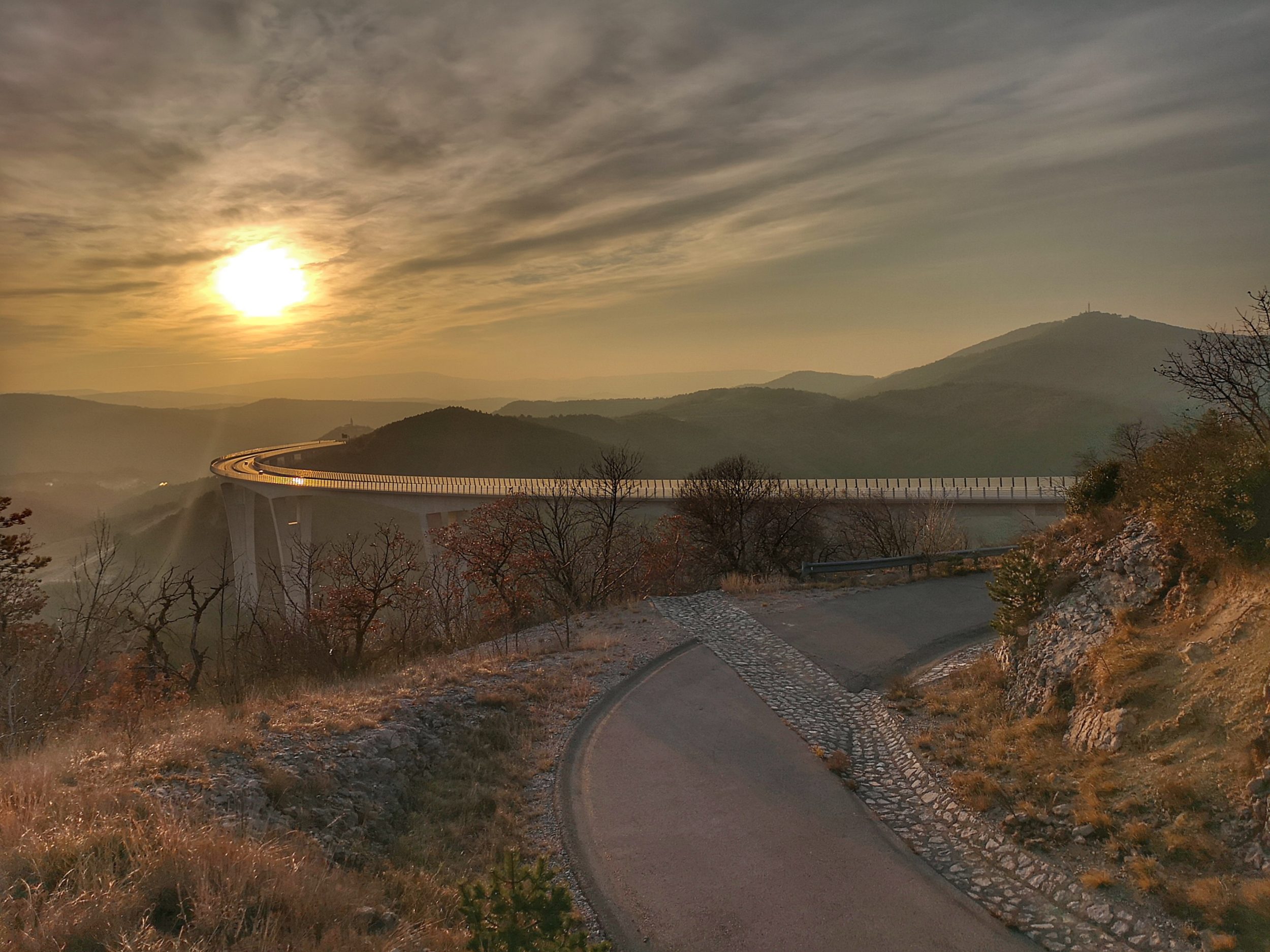
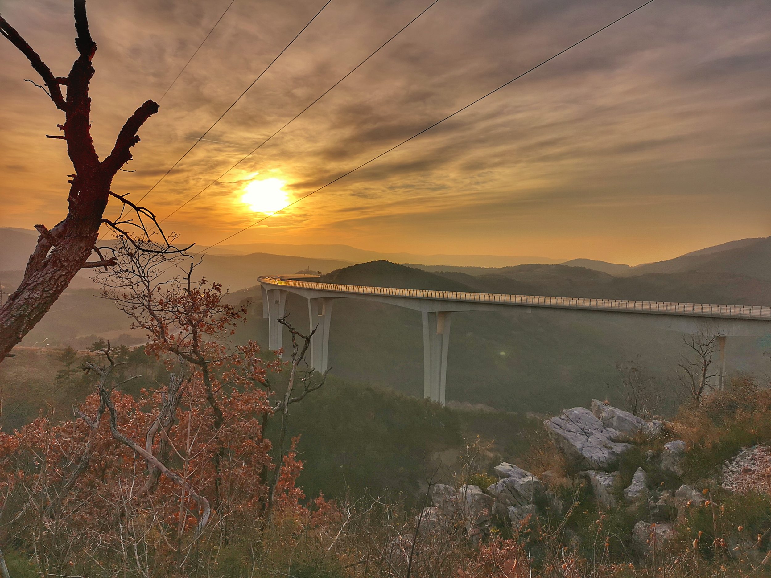
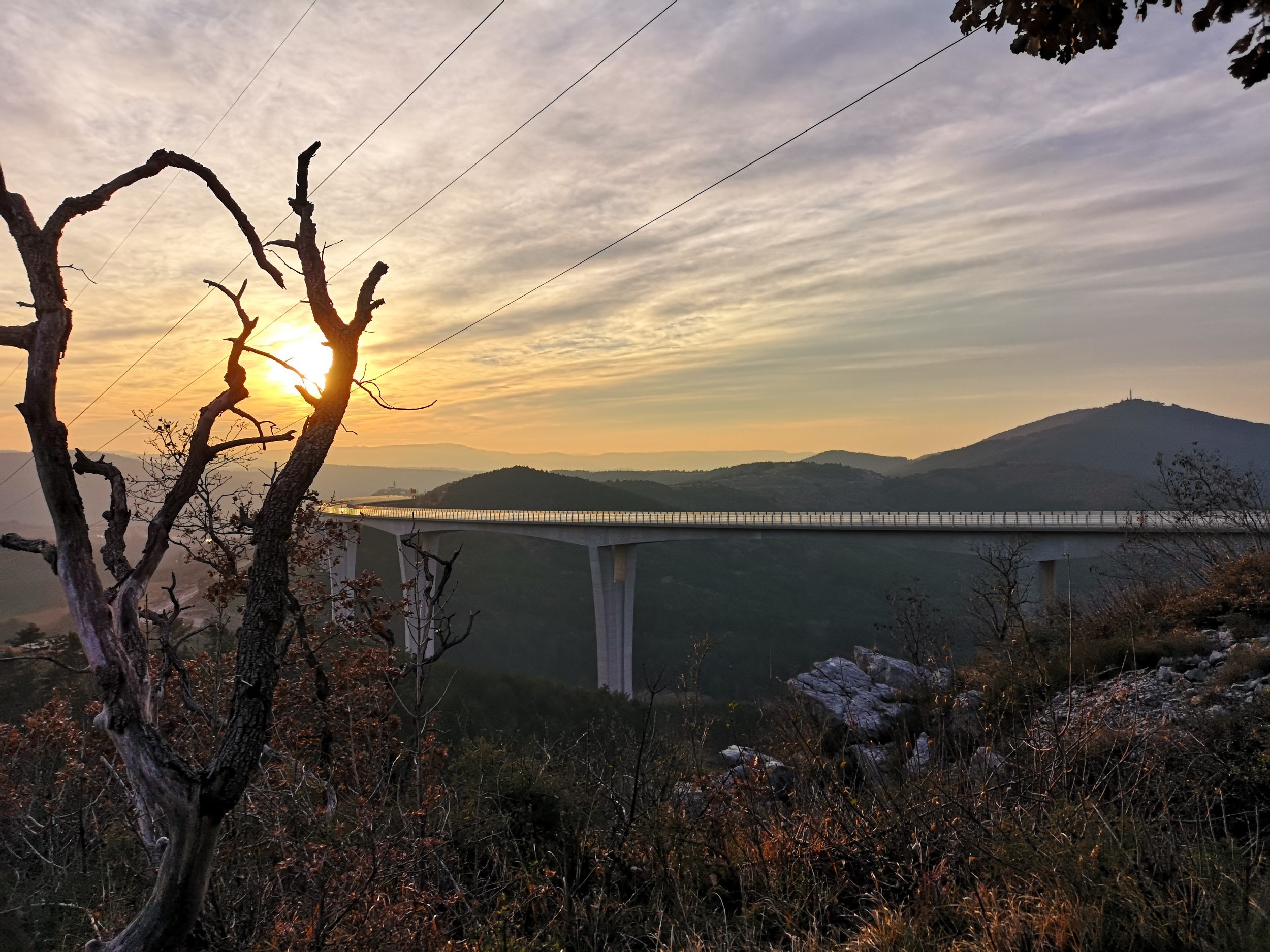
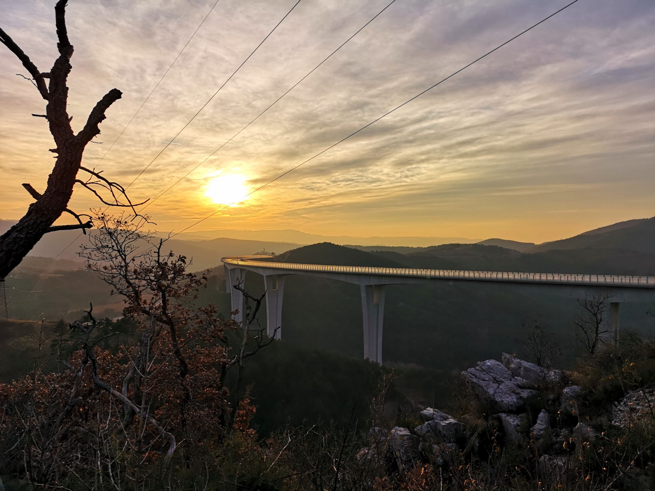
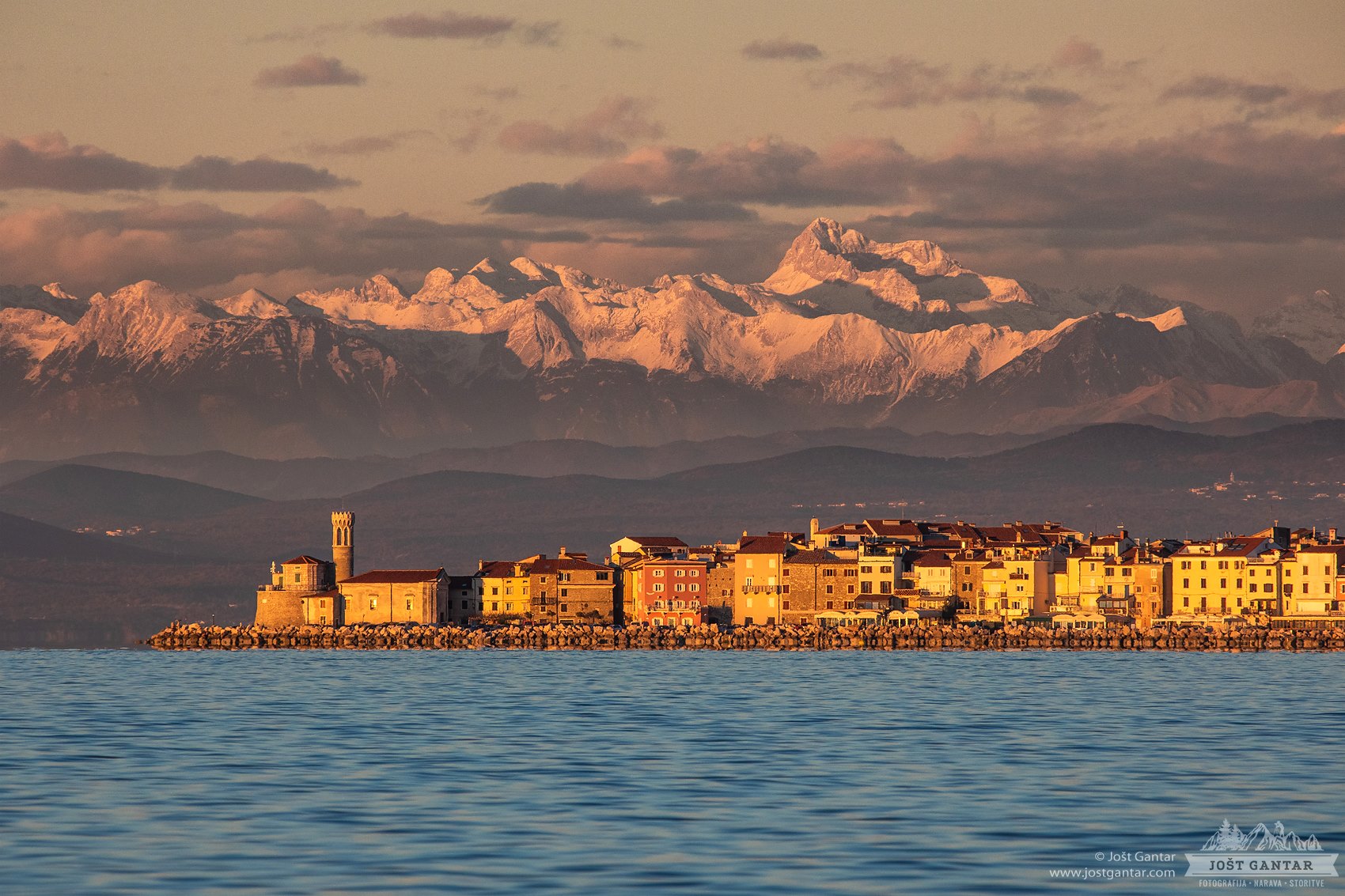
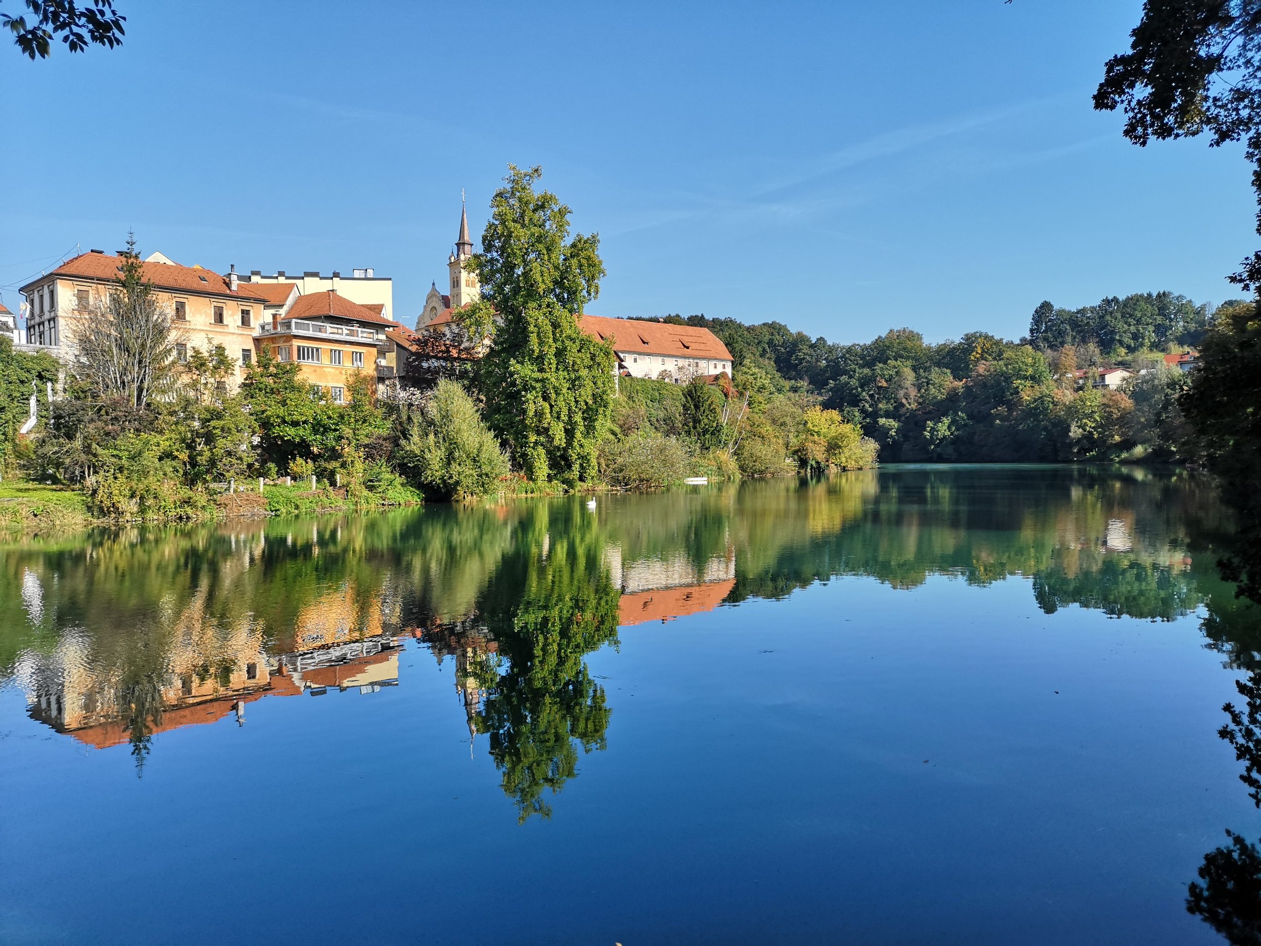
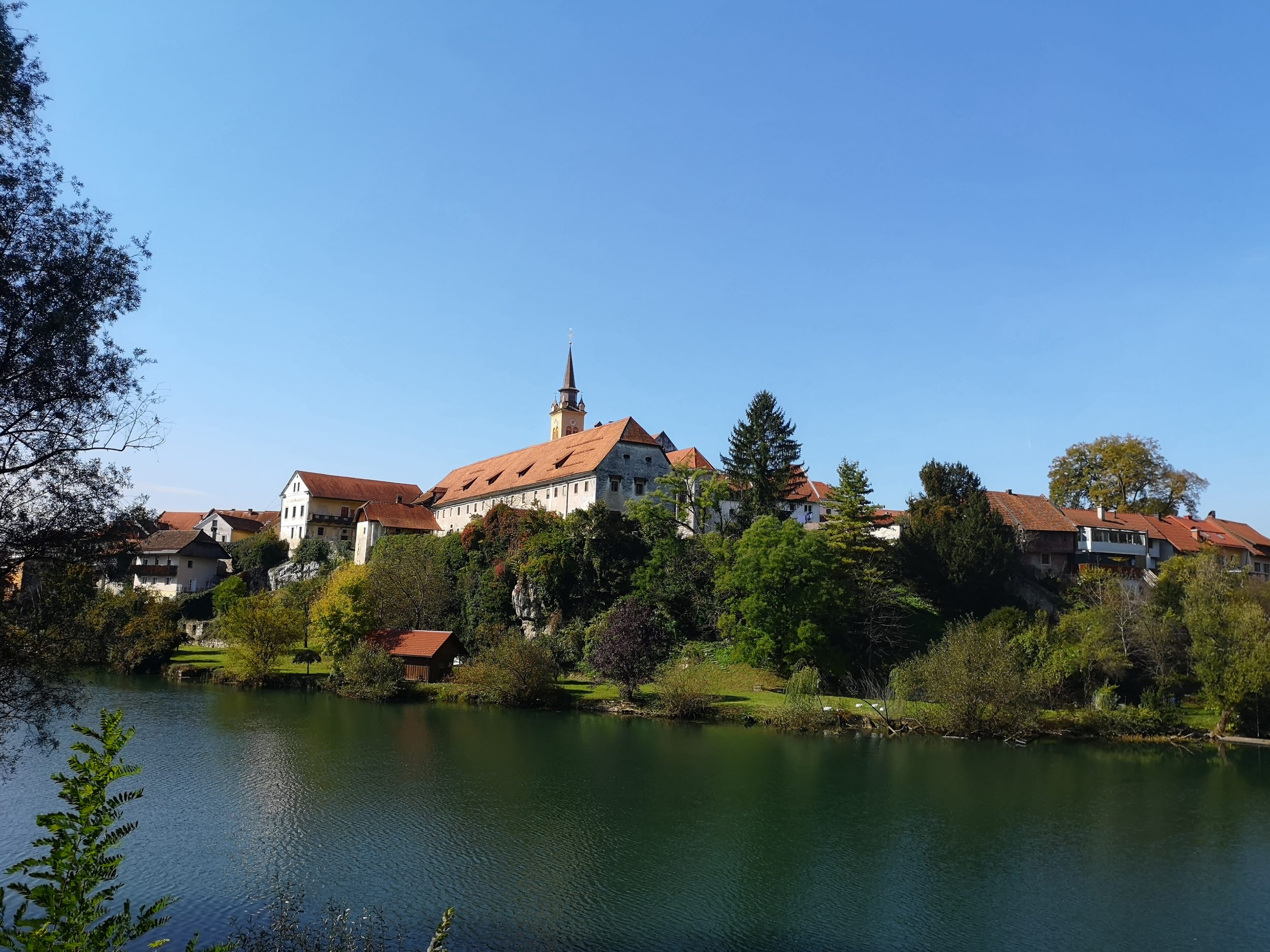
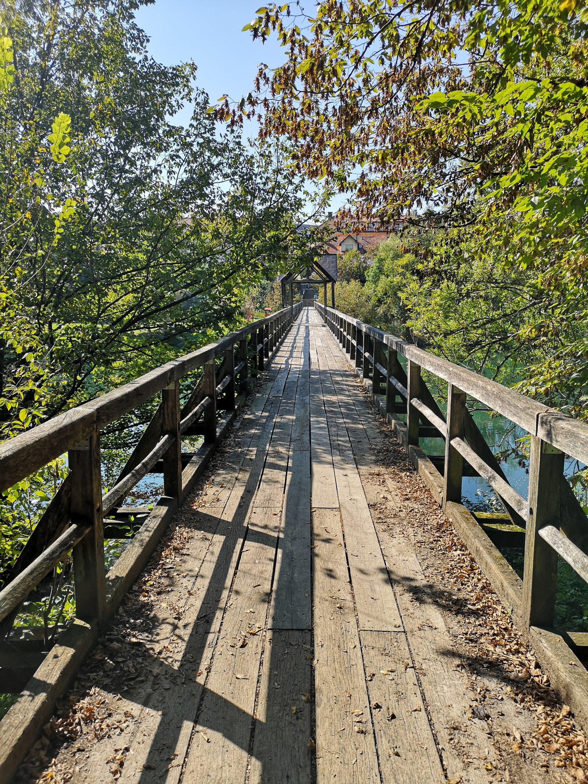
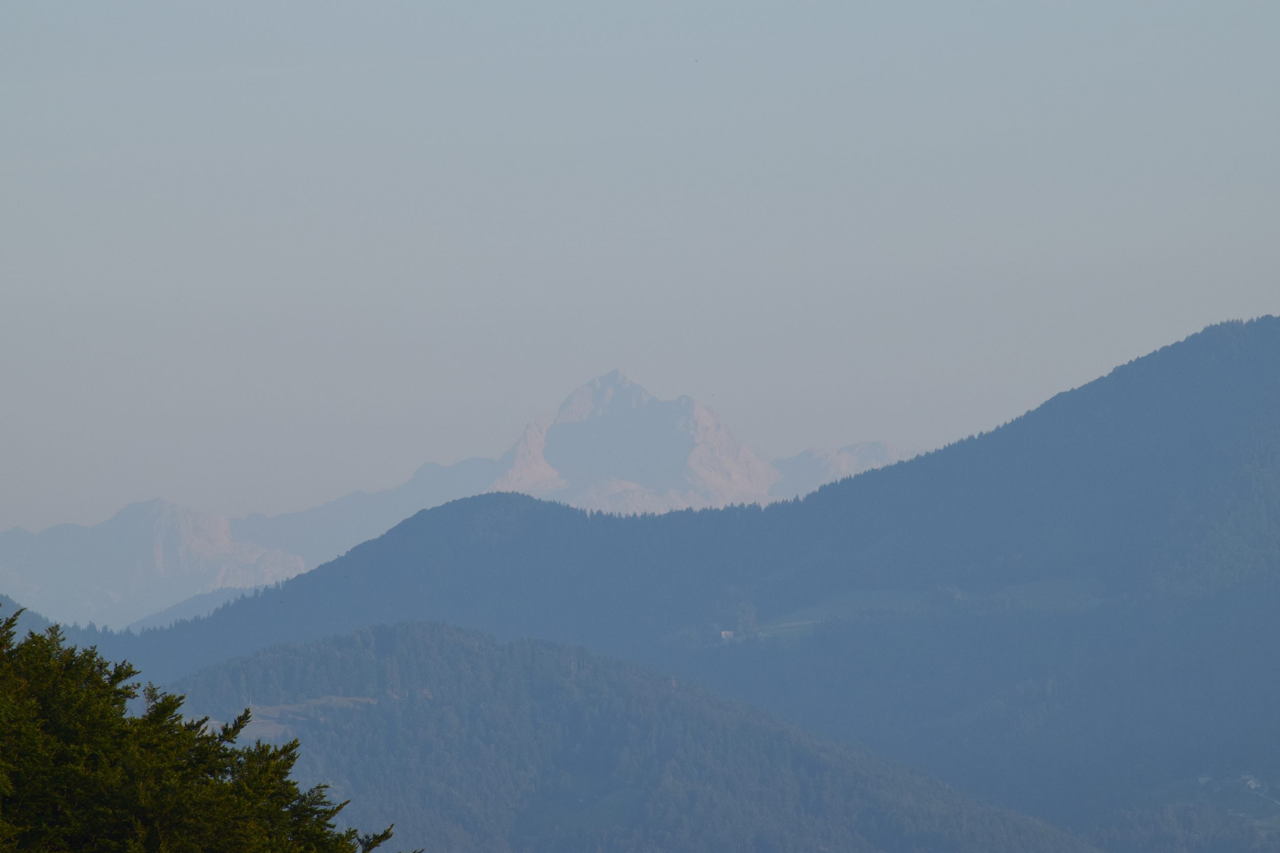
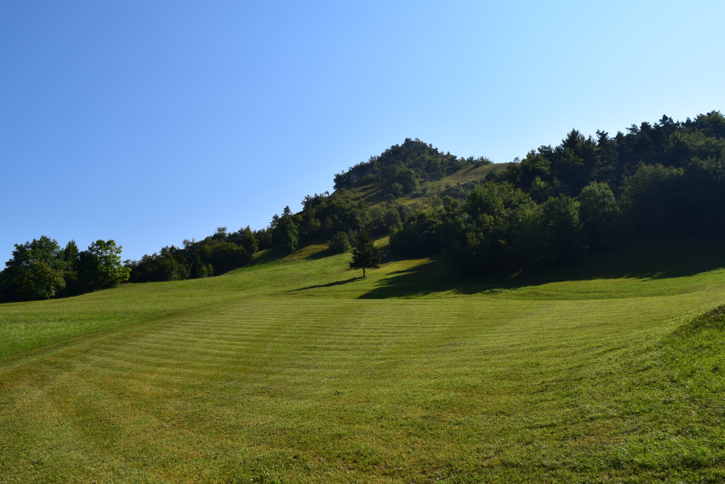
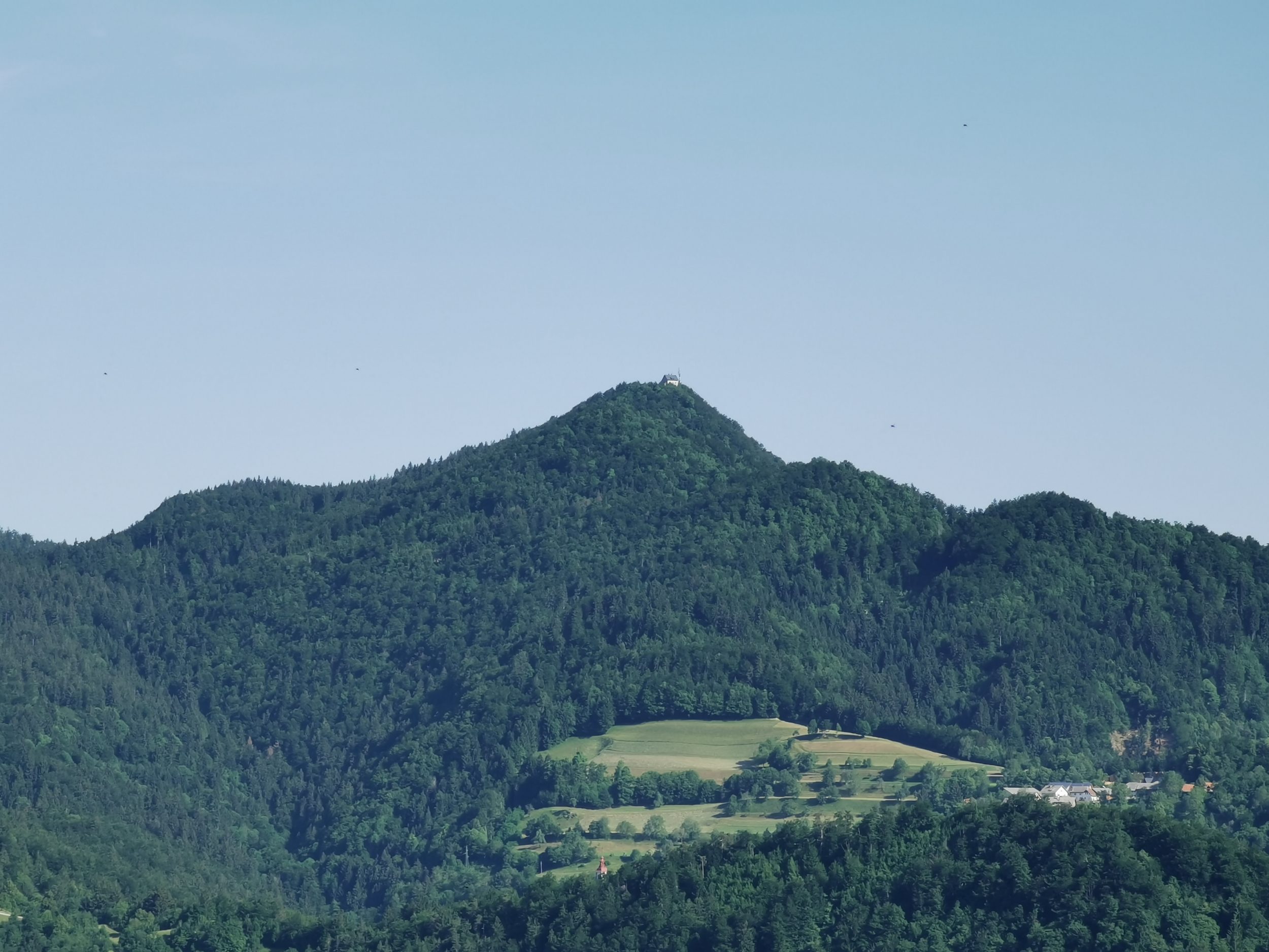
St. Andreas can be reached through the narrow Hrastnica valley, a side valley of Poljanska dolina, which connect Škofja Loka with Polhov gradec. It is positioned on the ridge between two narrow gorges – the area is full of gorges, which are usually called “grapa”. Great views are awaiting the visitor –  of the city of Škofja Loka, of the Karavanke mountains, Kamnik – Savinja Alps and of the king of the Škofja Loka – the mighty Mt. Lubnik.

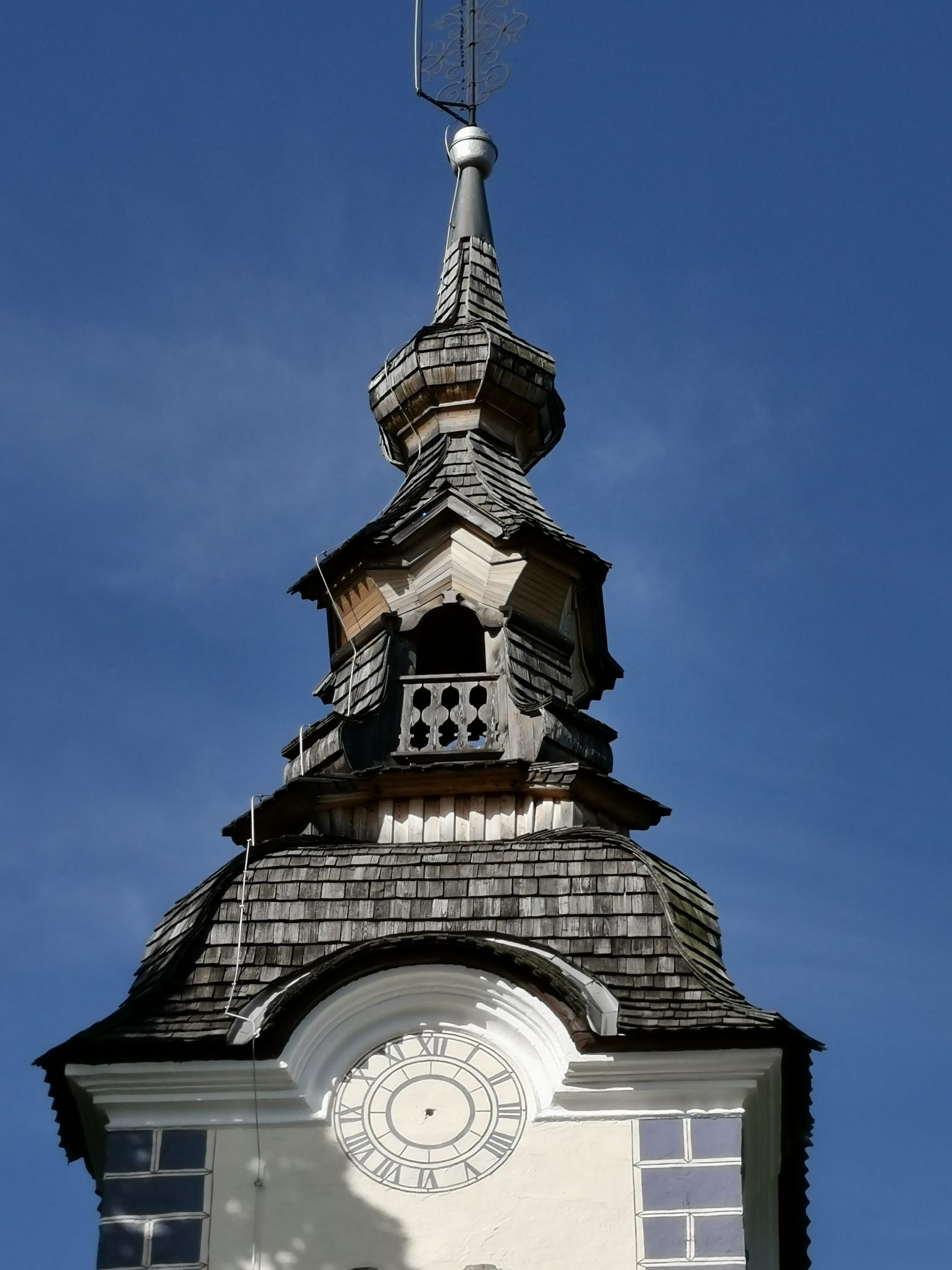
The church is Late Gothic, dating to between 1520 and 1530. The nave was vaulted in 1831. The frescos in the sanctuary, behind the altar, and one on the exterior were painted by Jernej of Loka at the time the church was built and most of the remaining decoration is from the 17th century. (wikipedia)


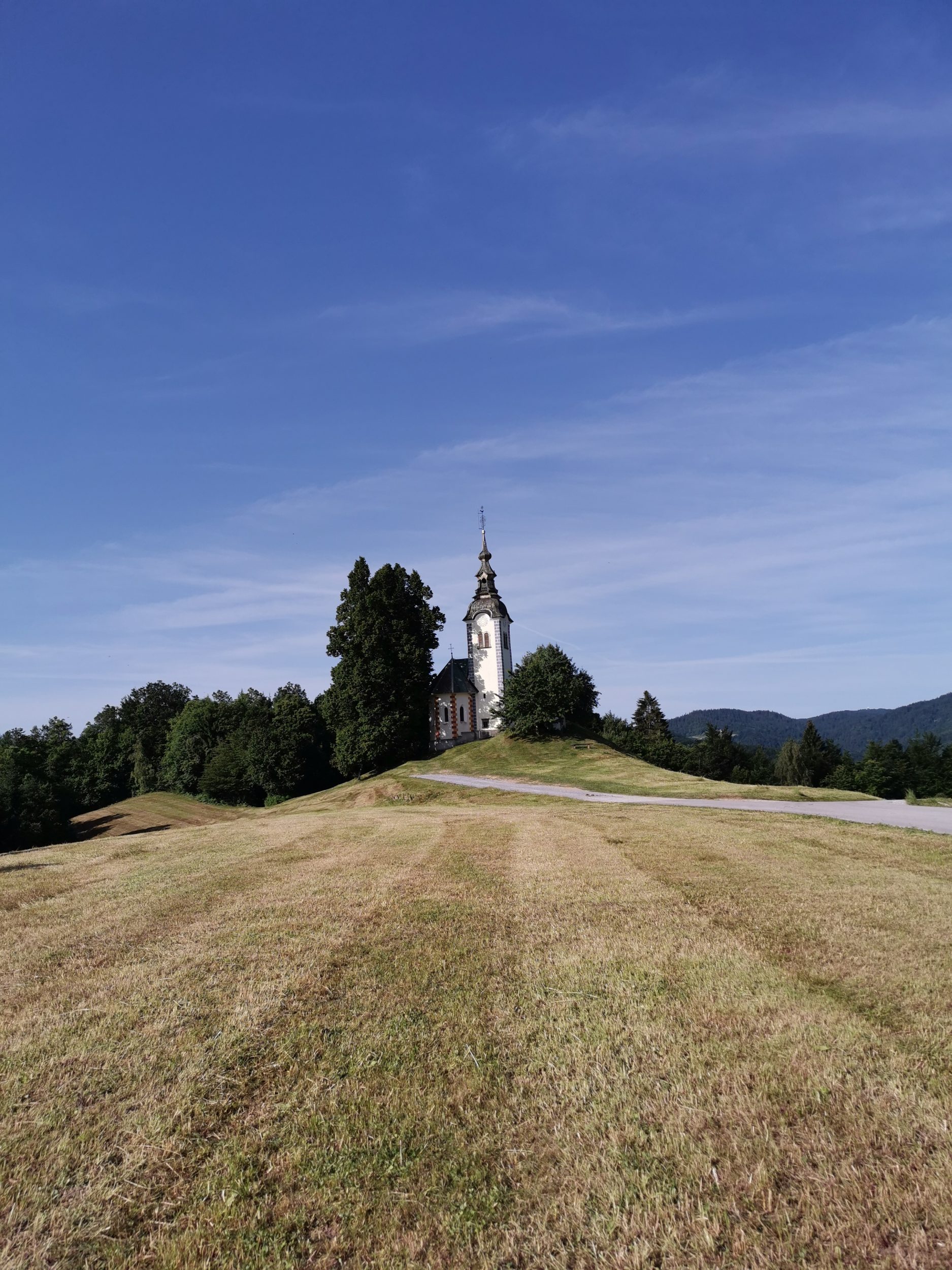
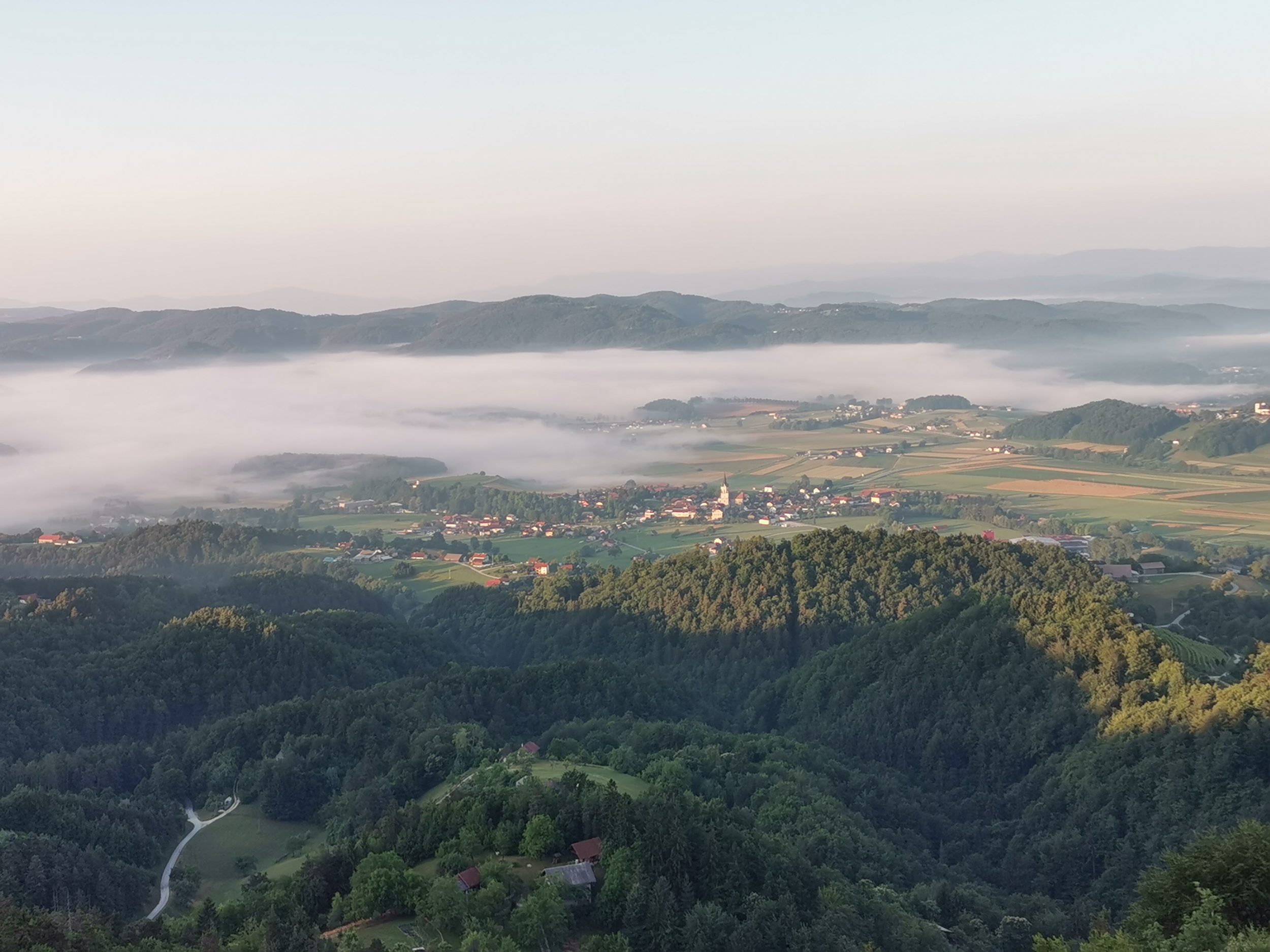
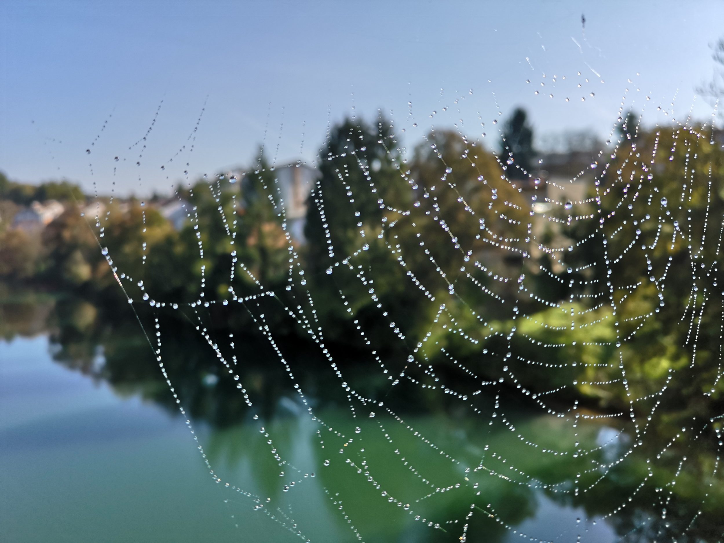
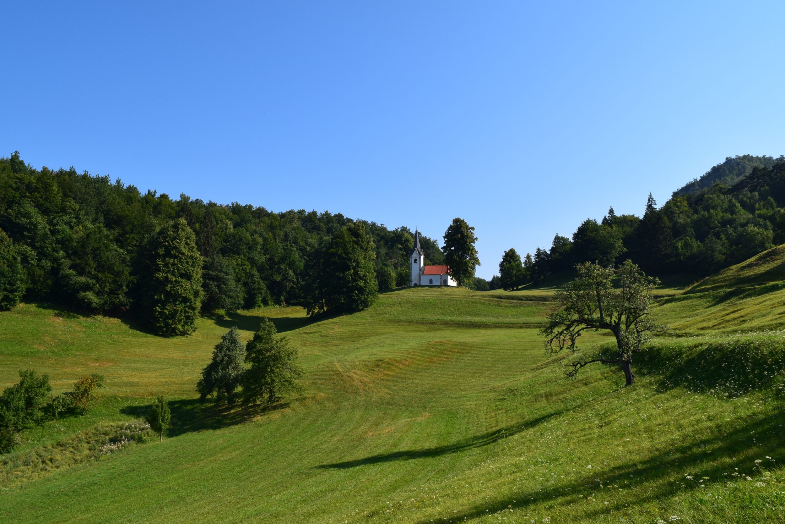
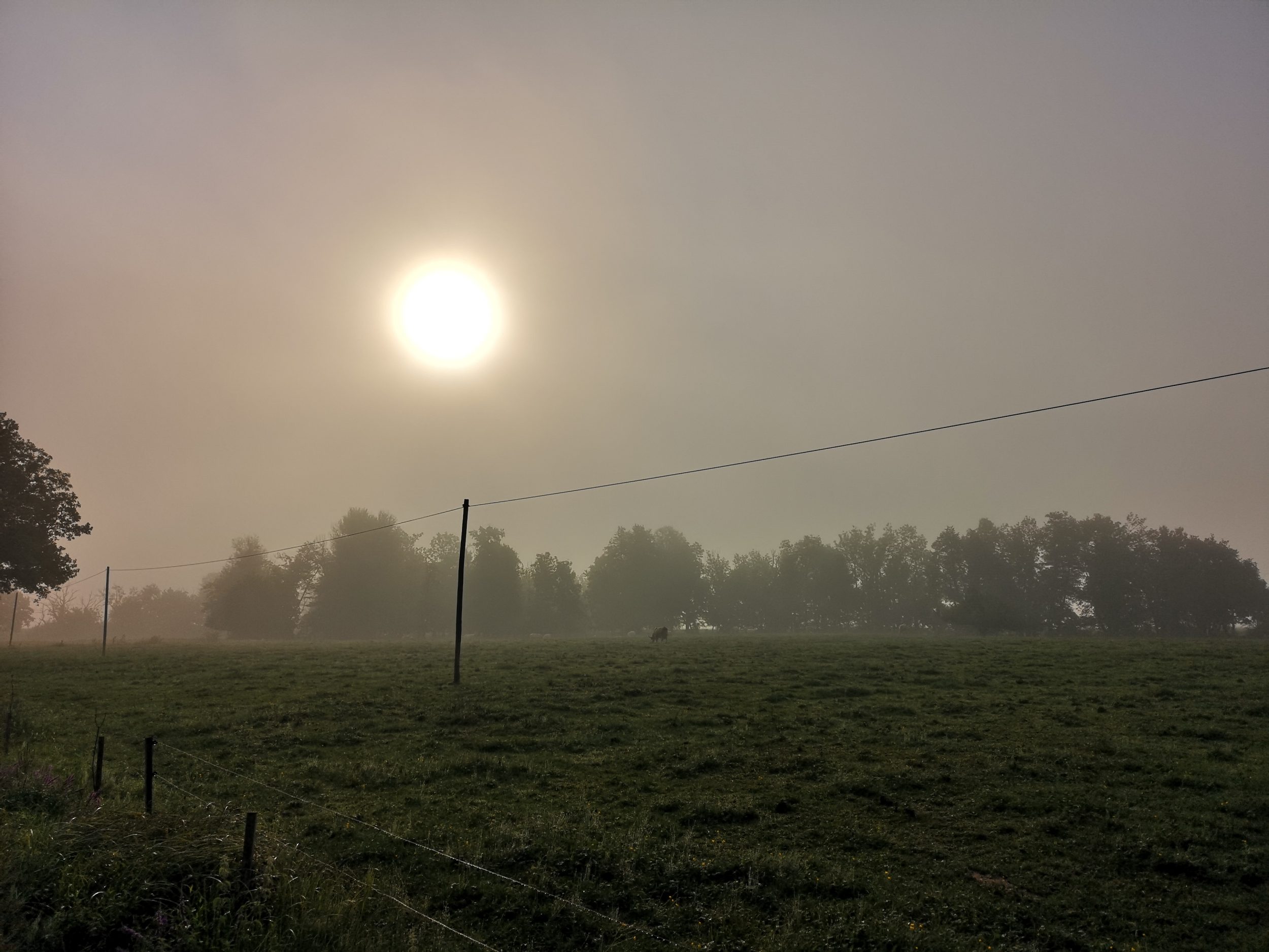
Unfortunately we have visited it just after the meadows were cut – views are much nicer with the high grass and flowers but also in the snow and early autumn the place is worth a visit.

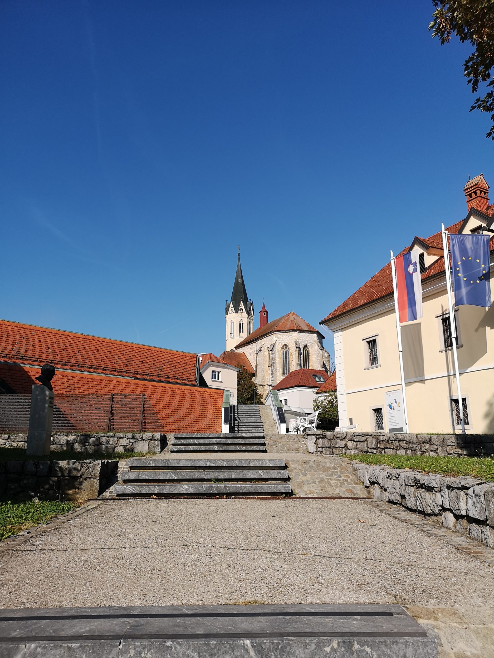
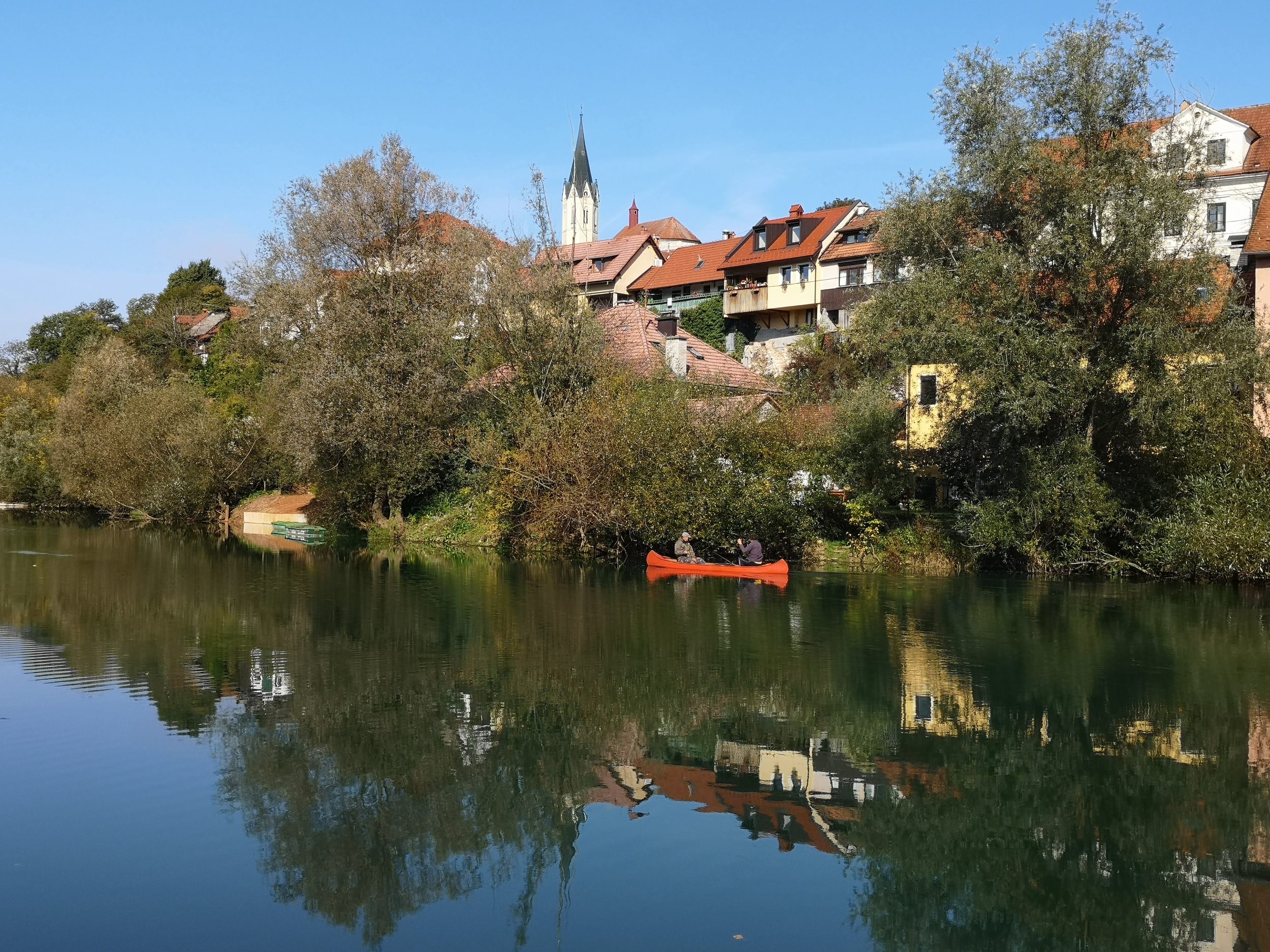
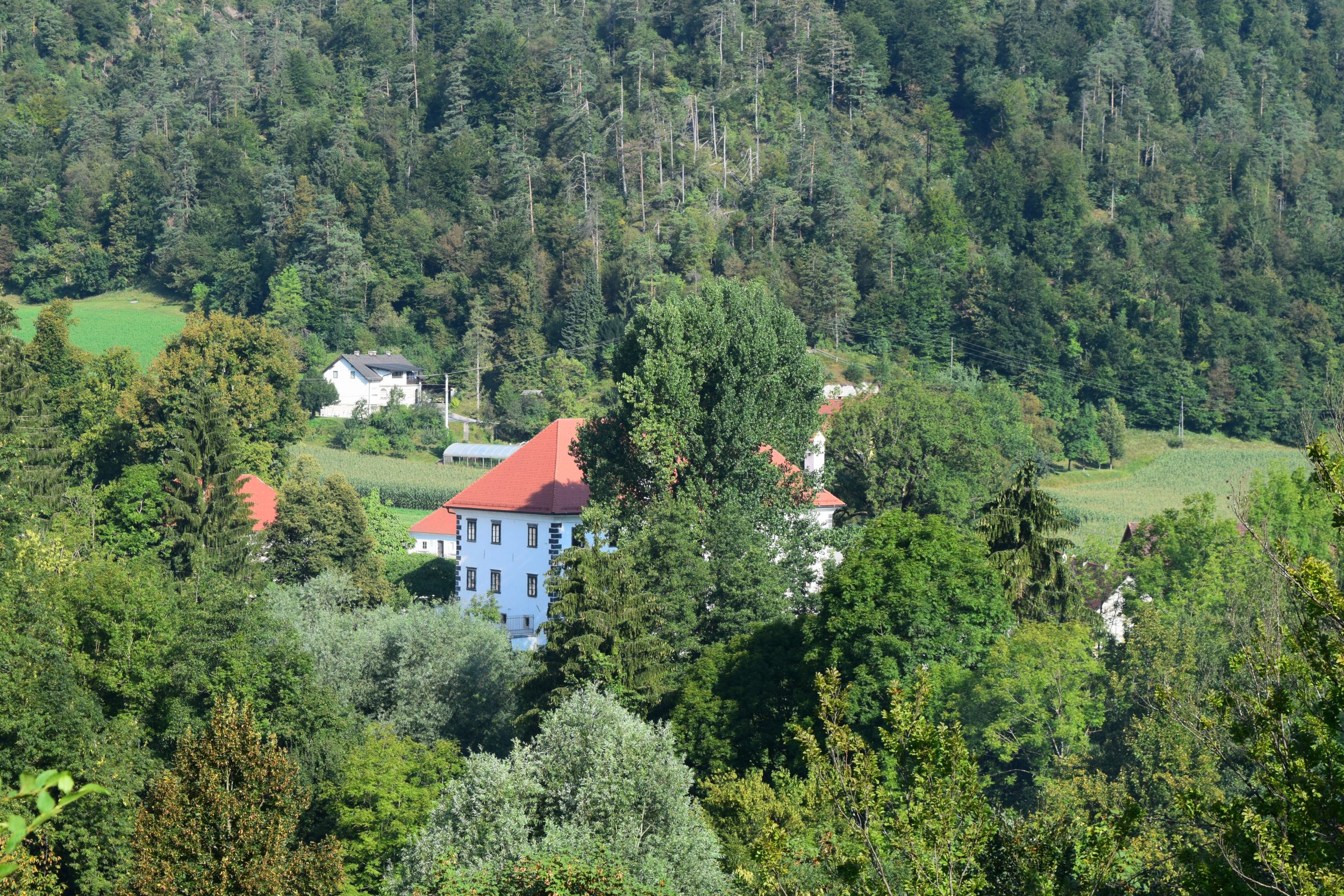
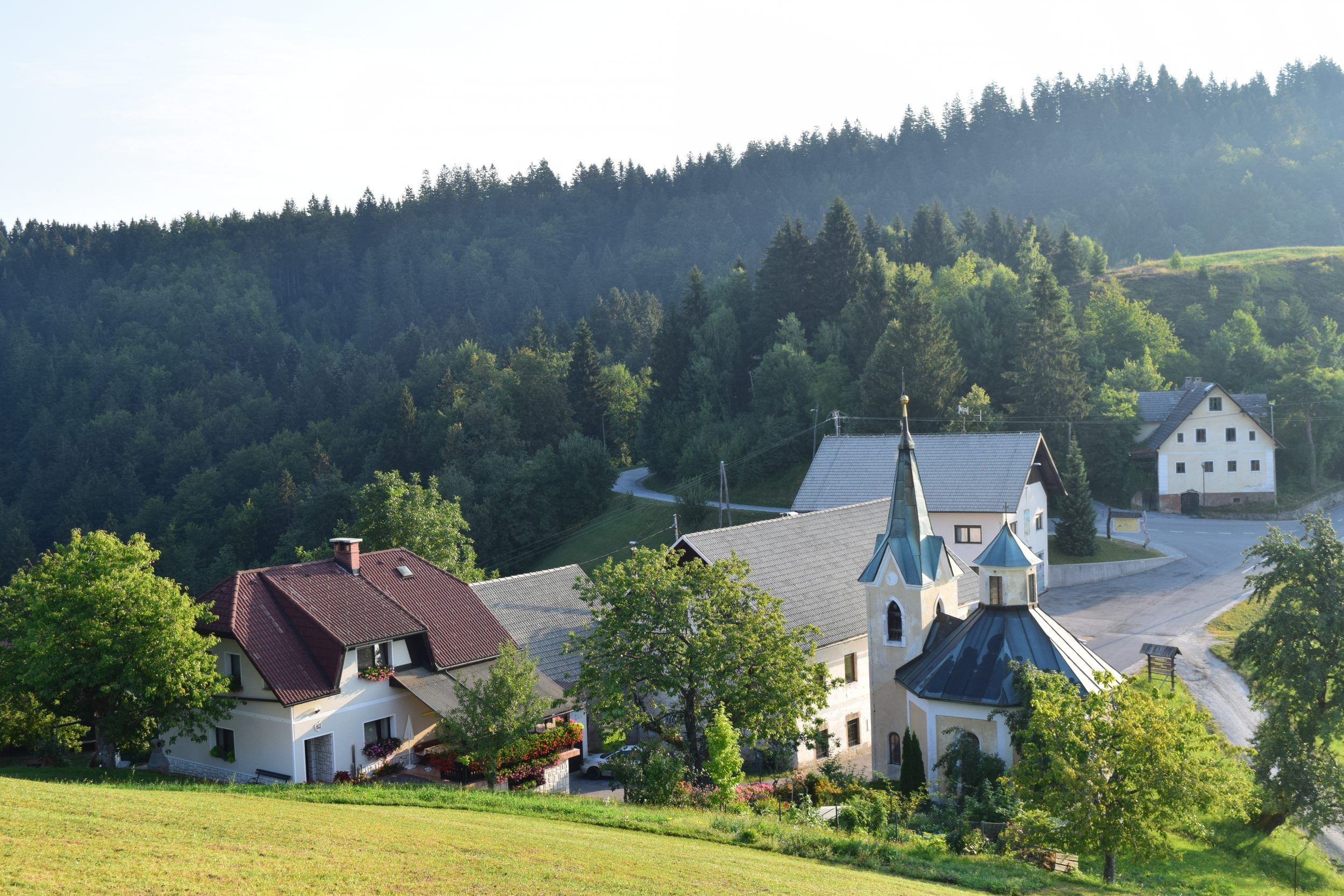
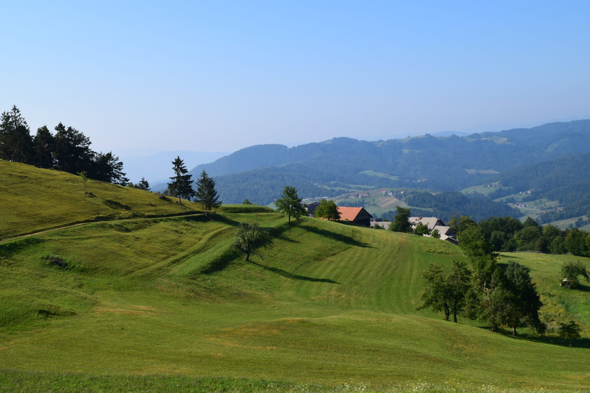
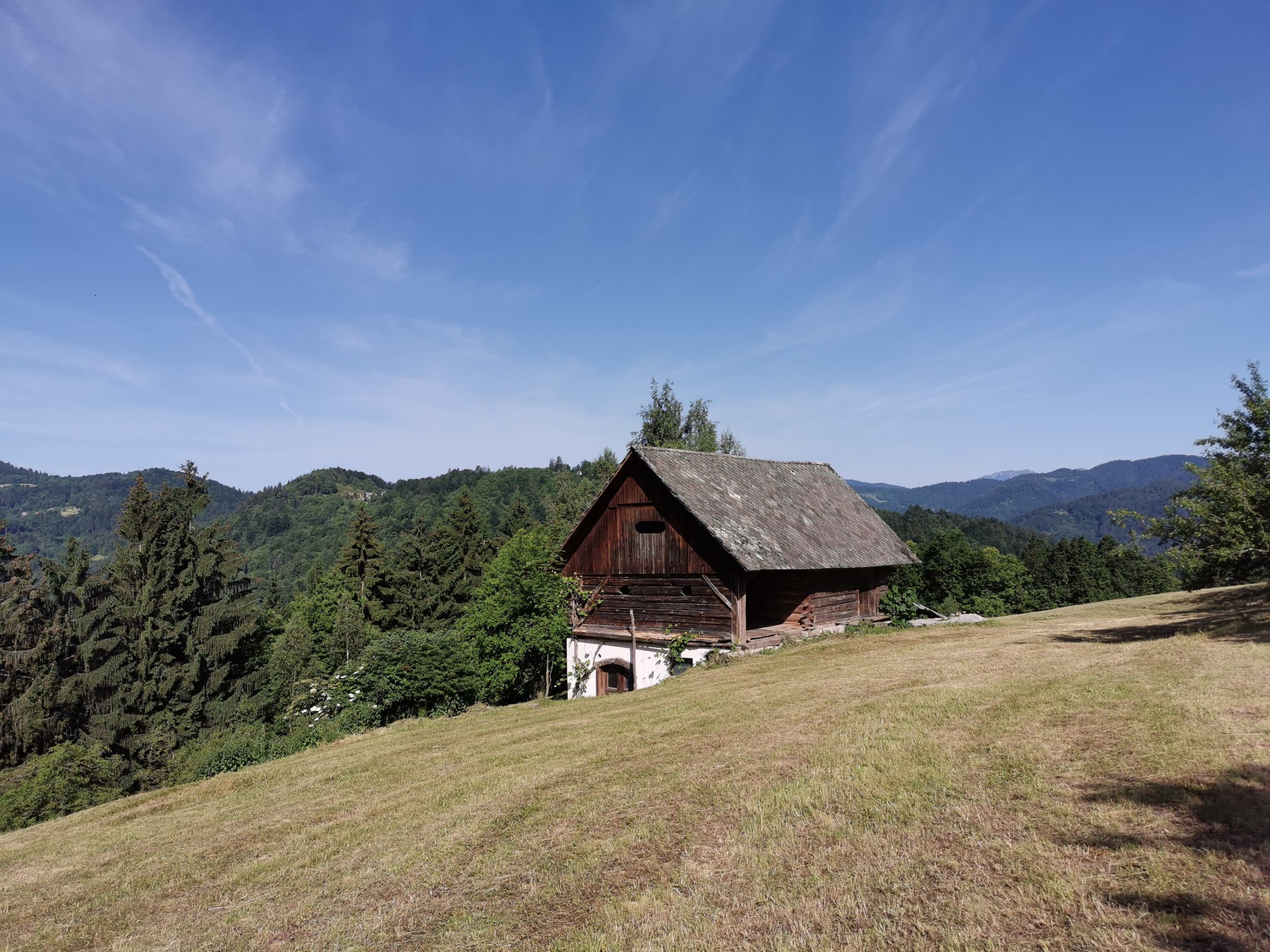
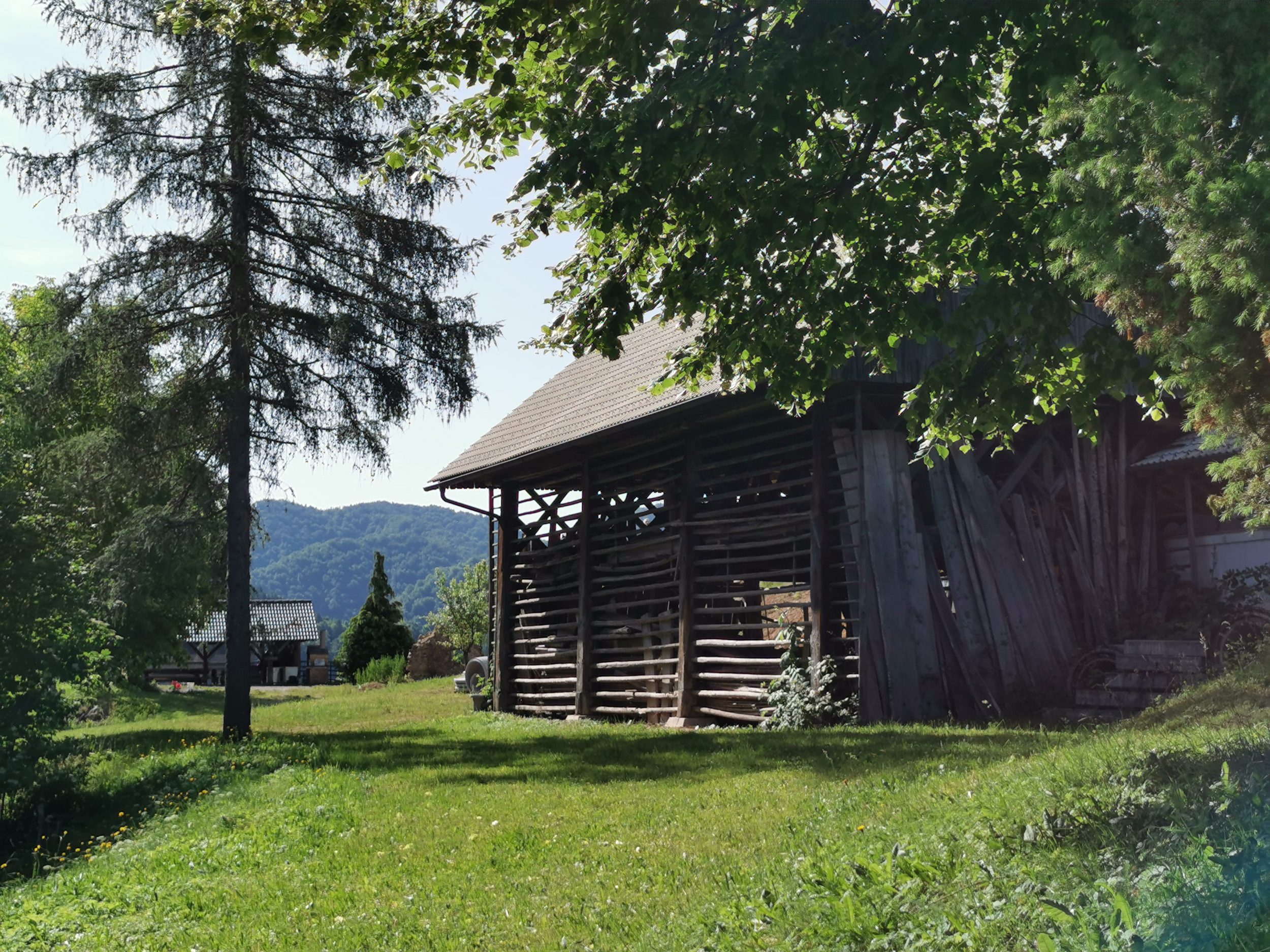
Nothing much can be added to the description. We have continued a few hundred meters through the woods though to find some nice rural motifs – old farm utility architecture at its best.

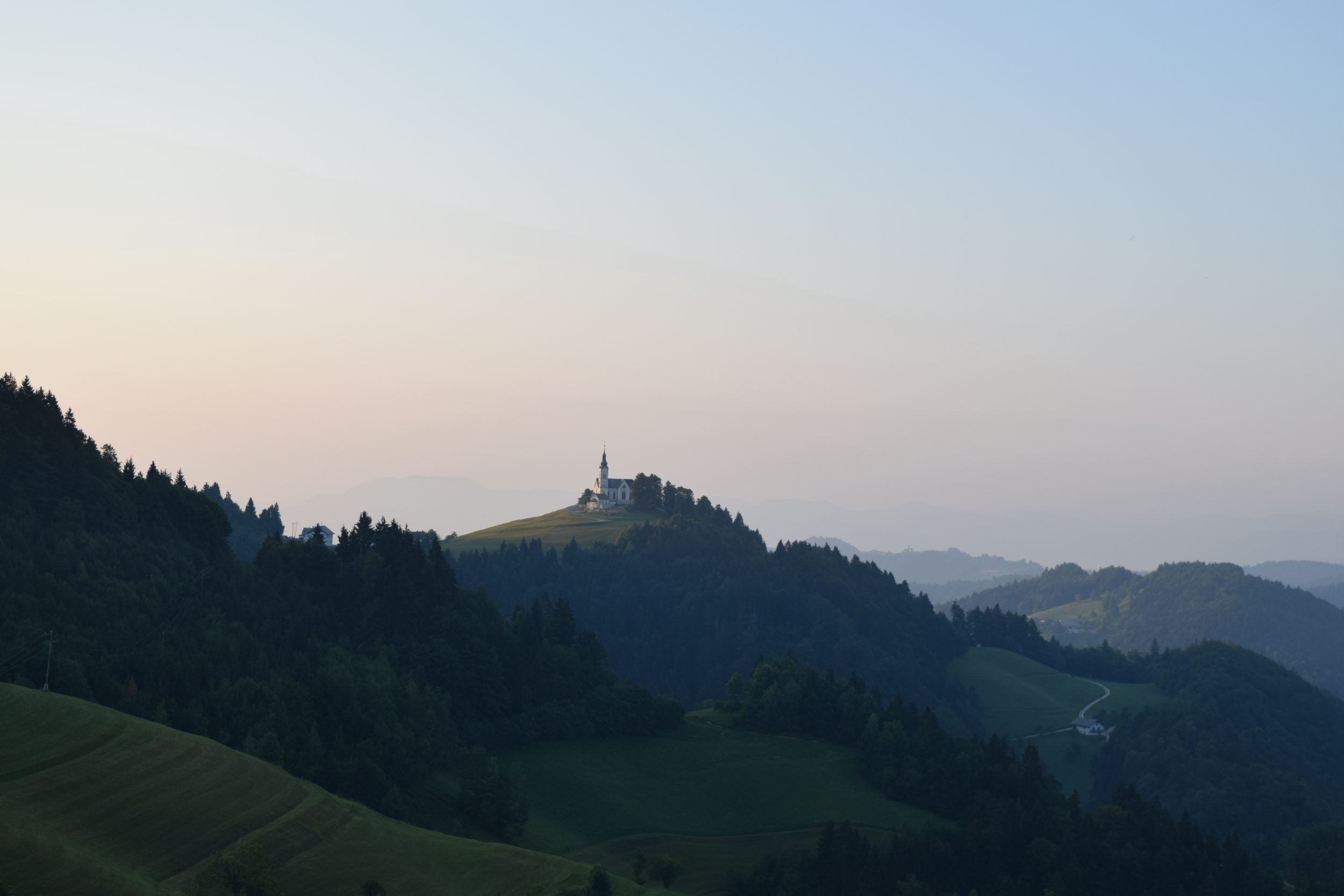
The views from the “back entrance” were not bad either.

Check out other locations with photogenic churches and great views: St. Thomas and Križna gora.

Text and edit: Zoran Leban Trojar


Nebesa (Heaven)

The highest hill in the municipality of Šentrupert is called Nebesa (Heaven). We have no idea why but the views there are really – heavenly.

Dolenjska region of Slovenia is characterised by the soft rolling hills mostly covered with vineyards, small villages, lazy but magnificent Krka river and many churches on the top of the hills. One can not see the whole region from Nebesa but can get some of the best views of the landscape there.

We have visited it twice, once in the autumn evening and the second time in early summer at the sunrise. Sunset photos are fantastic and available throughout the year.

Direct sunrise can be probably caught from the late autumn till early spring. In other months sun rises behind the hill and lightens up the Mirna valley and the rolling hills around but doesn’t interfere with the lenses of your gadget.


The morning fog is pretty common there just to make the whole scenery even more magical.

The place is easy accessible with a car. There is a small tourist farm there which is open for public only at weekends but their toilettes are available at any time. This is probably a local cooperation with paragliders who have their ramp just next to the building.

We have mentioned sunrise and sunset time to be the best times to photograph here. Season wise we would recommend a colourful autumn, a snowy winter and late spring with the blossomed orchards and ripping fields.

We strongly recommend this less known place which could serve also as an inspiration for further explorations. Otočec Castle and  Novo mesto are pretty close!

Text and photos: Zoran Leban Trojar


Črni Kal Viaduct

The Črni Kal Viaduct is the longest and the highest viaduct in Slovenia, located on the A1 motorway just a few kilometres before reaching the city of Koper from the direction of Ljubljana. It runs above the Osp Valley between the village of Gabrovica and the village of Črni Kal by which it got its name.

At the highest point it rises 87.5 m above the valley and it the foggy days many times just peaks above the fog. Its shape presents a nice leading line and it is directed towards west so the sunsets can be pretty spectacular. Since it is pretty close to some photo spots a long exposure photography is possible. No wonder that it became a popular photo object in the last few years with the rise of Instagram.


The viaduct is 1,065 metres long and runs from the slopes of Kraški rob, where the karst of Slovenia ends , to the rolling hills of Istria. The easiest photo spot to reach is the quarry on the left side of the 409 road just before the village of Črni Kal from the direction of Kozina. Park the car just before the working area of the quarry and the first photo spot is just a few metres away. In fact, there are a few of them so one can choose the angle which suits the situation.

Following the narrow road just bellow the quarry a new angles and photo spots open every few steps and a road itself can be a part of composition as well. A small slope on the left before the bend in the photo above is also one of them.

Descending from the slope on the left a few other spots can be reached closer to the viaduct but at some point is starts to run parallel with the eye of the camera so the road is not visible anymore. Before reaching such a point some interesting compositions are available.

One is the view of the Y-shaped columns, the distinctive feature of the viaduct, rising from the valley. Obviously a fire devastated a part of the area a few years ago and left behind some trees which come handy to make a different photo.

All spots are close enough to take decent photos with a good camera on your phone. We used Huawei P20Pro in different modes, against direct light mostly HDR and and Sunrise/Sunset automatic mode. There is another spot to photograph the viaduct, located just above the village of Črni Kal, namely at the Fortress of Črni  Kal. However it is much higher above the viaduct and more distant so the phone camera probably won’t be enough.

Text and photos: Zoran Leban Trojar


The Best of 2018

Countdown time! The sixth year of Igslovenia on Instagram was marked with another big joint venture campaign with Visit Ljubljana to promote Central Slovenia, the campaign  finished with a very successful international two day Instameet. We have also organised two Instameets with Canon, one in Ljubljana and another one in Zagreb. We also joined an Instameet at Plitvice Lakes in January. @igslovenia community still growing and engaging is what gives us a satisfaction and pays for hundreds of hours spent to bring you the best photos from as various locations of Slovenia as possible. That has also resulted in a cooperation with Huawei since we were always focused on mobile photography, at least on our site in the section Where to in Slovenia.

Some stats first: More than 40 photographers were featured more than once in 2018 what is a bit less than the previous year. The same goes for the number of photographers which were featured five times or more – there are only 8 of them compared to 16 a year before.

Lets’s start with the best nine photos by the number of likes. They belong to eight different artist, from left to right and top to the bottom (all Instagram handles and links, more or less all of them also have a Facebook account which you can find): Jošt Gantar @jostgantarDomagoj Sever @domagojsever@auerimagesTom Strojnik @tomstrojnikHeikki @frozenblizzardPiotr Skrzypiec @piotrskrzypiec9198 @malaposastmiciZoran L Trojar @zokus_gfPiotr Skrzypiec @piotrskrzypiec9198.

Our selection of the year is in fact a result of our selection during the year: we just counted the number of features the artists made on our profile.  We are trying to feature high quality photos of different locations and not to repeat a single photographer and location too many times. But just as it happens with photos of Bled – throughout the year we post many of them and some photographers get more features than others simply because they are highly active and post different locations of superior quality.

To get into the Top 10 four features were needed. Each author is present bellow with one photo which does not always correspond to the actual featured photos on our profile.

Jaka Ivančič @jaka_ivancic managed to the first place by the number of features. Among many other recognitions he have received recently this reflects his high quality photos but also a huge amount of activity spent both in the field and on social media channels.

In the next group, very close to Jaka, were: Ana Pogačar @anapogacar

Jošt Gantar @jostgantar was also close to Jaka by the number of features but he holds the first place by the number of likes in 2018 – and 2017.

Next group consists of a few artist with the same number of features, none of them is new to our list:

Luka Esenko @lukaesenko

Gregor Škoberne @gregorskobernephotography

Aleš Krivec @dreamypixels

In the last group were:  Piotr Skrzypiec @piotrskrzypiec9198

Jurij Pelc @jurij_pelc

Klemen Zepp Dovžan @klemen_zepp_dovzan

Dan Briški @dan.briski

We thank you all for participating, tagging and engaging. Love you all,

Sanja and Zoran

Novo mesto – Kandijski most

Novo Mesto  is the city on a bend of the Krka River in the City Municipality of Novo Mesto in southeastern Slovenia, close to the border with Croatia. The town is traditionally considered the economic and cultural centre of the historical Lower Carniola region. The old town is located right at the meander made by the beautiful Krka river. Unfortunately the main square and the most interesting old street Pugljeva ulica were completely under reconstruction in the time of our visit so the only close encounter with the historical part we made was passing by Capital Church (Kapitelj) which overlooks the old town from a small hill, on the approach to our photo spot – Kandijski most bridge. (Note: all photos are taken with HuaweiP20Pro, no edit).

The Kandija Bridge (Slovene: Kandijski most) or the Old Bridge (Stari most) is an iron bridge which connects the old city on the left bankof the Krka River with Kandija, a historical suburb of Novo Mesto, on the right bank of the river. The bridge stands at the lower part of Glavni trg. Wikipedia says that it was built in 1898 to replace the old wooden bridge from 1600, located a few dozen metres upstream. The riveted structure bridging the Krka with a single 75-metre (246 ft) arch is a unique structure in Slovenia.

View from the Boter bar towards old town.

Most photos of Novo mesto which can be seen on Instagram (there are not many though) are from this bridge, the most classic view is of the old part with the Kapitelj church. With some fog on the river or at the sunset the views (and photos) are truly glorious.

But make no mistake, the views downstream are not worse at all. Calvary Chapel Church with Franciscan Convent dominate the sight on the left bank and the mysterious Ragov log forest on the right.

The bridge itself offered an interesting view when we crossed the river – we have never seen so many spider webs on any bridge, ever.

The river bank is easy accessible so one can get under the bridge as well, a change of the angle never hurts and reflections are much better when close to the water.

There is a bar with the terrace on the river just a few meters away, besides having a new angle again we were also lucky to spot local fisherman in an unusual vehicle for such an activity.

Some other spots are located upstream towards the main bridge but we decided to follow the path through the Ragov log grove which begins just behind the Kandijski bridge downstream. In the first few hundred meters some spots can be reached close to the river to get another angle at the Franciscan Convent.

After that the path follows the river but much higher on the slope, the woods are pretty thick and there is no access to the river and no photo spots either until the Ragov log bridge is reached after some 15 minutes of a pleasant hike. The photo spot there deserves a separate description, here is a photo just for the feeling.

Text and photos: Zoran Leban Trojar @zokus_gf

Photos made with HuaweiP20Pro, courtesy of Huawei Slovenija

Kozjak Waterfall


The Veliki (Big) Kozjak waterfall is a pretty popular sight of the Soča Valley. The waterfall is very picturesque since it is caught in a kind of a stony amphitheatre.  There are two accesses to the waterfall but we would definitely recommend the one crossing the Soča River. The reason is quite obvious.

The bridge is located behind the camping site of Kamp Lazar. Don’t try to park there in the season.

The Kozjak stream is feeding the Soča river from the  left. It springs high beneath Mt. Krnčica (2142 m) and makes six waterfalls and many pools. There is a small waterfall under the stone bridge half way to the Veliki Kozjak. The path which takes apr. 20 minutes is following the stream from there on.

The access is over the kind of a wooden bridges and usually slippery.

The waterfall carved an underground hall. Its bottom is covered by a vast blue and green pool, and its walls are reminiscent of those in the Karst caves.

A 15 meter high white water column offers its visitors an unforgettable scenery.

Only a small amount of light gets into the hall so it is difficult to make a good shot of the amphitheater. The best conditions are probably in the early fall and spring when more light enters from behind.

Of course one can always try to come closer but be careful!

All photos taken with mobile HuaweiP20Pro!

Text and photo: Zoran Leban Trojar

Polhov Gradec

Polhov Gradec is picturesque village in the Polhograjsko hribovje hills in Central Slovenia – in the link you can check out the terms of the actual contest of Visit Ljubljana, you can win a nice prize just posting nice photos!

The main landmark and photo spot of the village is the new castle (remains of the old one can be seen on the Kalvarija hill), designed in 17th century.

The mansion is surrounded by a beautiful park.

Here is also a local museum’s permanent collection with objects related to the history of Polhov Gradec and the Technical Museum of Slovenia – Museum of Post and Telecommunications. A well with the statue of Neptun and four nymphs stands by the castle.

There is a creek behind the mansion and a nice view of the building from the back.

The best view of the village itself is from the small hill just a few steps from the main road.

The mansion is visible from this spot as well.

Somehow limited photo options of the village are greatly enhanced by the number of fantastic views in the vicinity of the Polhov Gradec. Many churches are located on the slopes and peaks of the surrounding hills which provides for great photo motifs. Reaching St. Ursula can be a pleasant short hike from the nearby touristic farm reached by car or a longer one from the valley.

A trip to the village of Črni vrh takes some more time but ii is worth the effort.

Enjoy!


Črni vrh above Polhov Gradec

Črni Vrh (Black Peak) is a dispersed settlement in the hills northwest of Polhov Gradec in Central Slovenia which includes many isolated farms scattered throughout the hills so the settlement itself is not a micro location in a sense we are looking for. We have picked it out because again there is one of the many small churches on the slopes and peaks of the hills around Polhov Gradec in Central Slovenia which provide for some fabulous photo motifs.

The parish church in the settlement is dedicated to Saint Leonard and t stands west of the settlement on Church Hill (Cerkovni grič). There is a point on the slope across the Church Hill where the best view of the hills and the church can be observed and photographed.

The photo point in located at the crossroads to Poljanska dolina and Pasja ravan – the exact location you can find on the map Where to in Slovenia. We visited it at the sunrise.

A few days later we passed by there in the late afternoon as well.

It was a pretty magical morning there; the settlement is pretty high in the hills, farms are far apart from each other, no traffic at all.

The sights on the other side of the street were also pretty nice but one should wait a bit longer for haze to clear and get a better photo of the mighty Mt. Triglav in Julian Alps and Škofja Loka Hills in the foreground. We are not proud of the following two photos photo but added them it for you to get the idea.

This is how the crossroad looks like.

A closer look at the foot of the Church Hill to the church is also not bad at all – there is a chapel dedicated to Virgin Mary which provides for a nice composition.

At this point the sun was high enough to reveal all beauty of the slopes around the Polhov Gradec, photo taken in front of the chapel.

And finally the view from the church itself onto the farm at the foot of the Church Hill.

As we mentioned already, there are many churches on the peaks and slopes around Polhov Gradec, St. Ursula is one of them some 15 minutes drive from Črni vrh.

St. Ursula

St. Ursula is one of the many small churches on the slopes and peaks of the hills around Polhov Gradec in Central Slovenia which provide for some fabulous photo motifs. Where to in Slovenia features micro locations for mobile photography and sometimes micro stands for really – micro. This one fits into the category but still offers many different views and options to compose a photo.

All of the featured photo spots are on the map with exact positions so we won’t bother with navigation, let us only tell you that reaching St. Ursula can be a pleasant short hike from the touristic farm reached by car or a longer one from the valley. The church is visible almost all the time on the shorter hike.

The peaks of Mala Grmada and Grmada in the vicinity of St. Ursula are popular hiking destination in these hills.


The “rear” view is a kind of Slovenian classic and since nothing disturbs the composition it is probably one of the best of the kind as well.

However, the church itself is only a half of the story.

The other half is definitely the view of the surrounding hills over the meadows above the farm.

St. Lawrence is another peak with a church just over the valley.

Personally we can’t wait to hike there again to observe the sunset – location is just right for that. Enjoy!

Check out also the great views of the Črni vrh in the vicinity!

Text and photos: Zoran Leban Trojar @zokus_gf

Bistra Castle

Where to in Slovenia features micro locations for mobile photographers. Bistra Castle near Vrhnika lies on the southwestern margins of the Ljubljana Marshes in Central Slovenia. Originally it was  a monastery but later became a grand mansion. Both settlement and manor take their name from the clear karstic springs, which issue forth from under the adjacent wooded hillside. Since  1951 the castle hosts the nation’s Technical Museum.

One of the oldest museums in the country has really interesting collections, find out more about them here. We are more interested  in the building itself and the karst source which also provides water for some early industrial objects in the castle’s yard.

Walking around these wooden structures above the Bistra source offer many beautiful motifs, mostly reflections.

The light can be an issue here since the castle is perched under a slope of the hill. Early morning light would be the best but the museum opening hours don’t support this idea in all seasons.

There is also a beautiful garden in front of the castle which is mostly used for different activities at the weddings and other events which are often taking place at this beautiful locations. What is even more interesting for photographers is the typical scenery of the marshes which can be seen next to the castle and its garden.

The morning mist, occasional tree and a horse – can you ask for more?

Enjoy!

See more about photo spots around the city of Vrhnika and Ljubljana Marshes.

Text and photos: Zoran Leban Trojar @zokus_gf