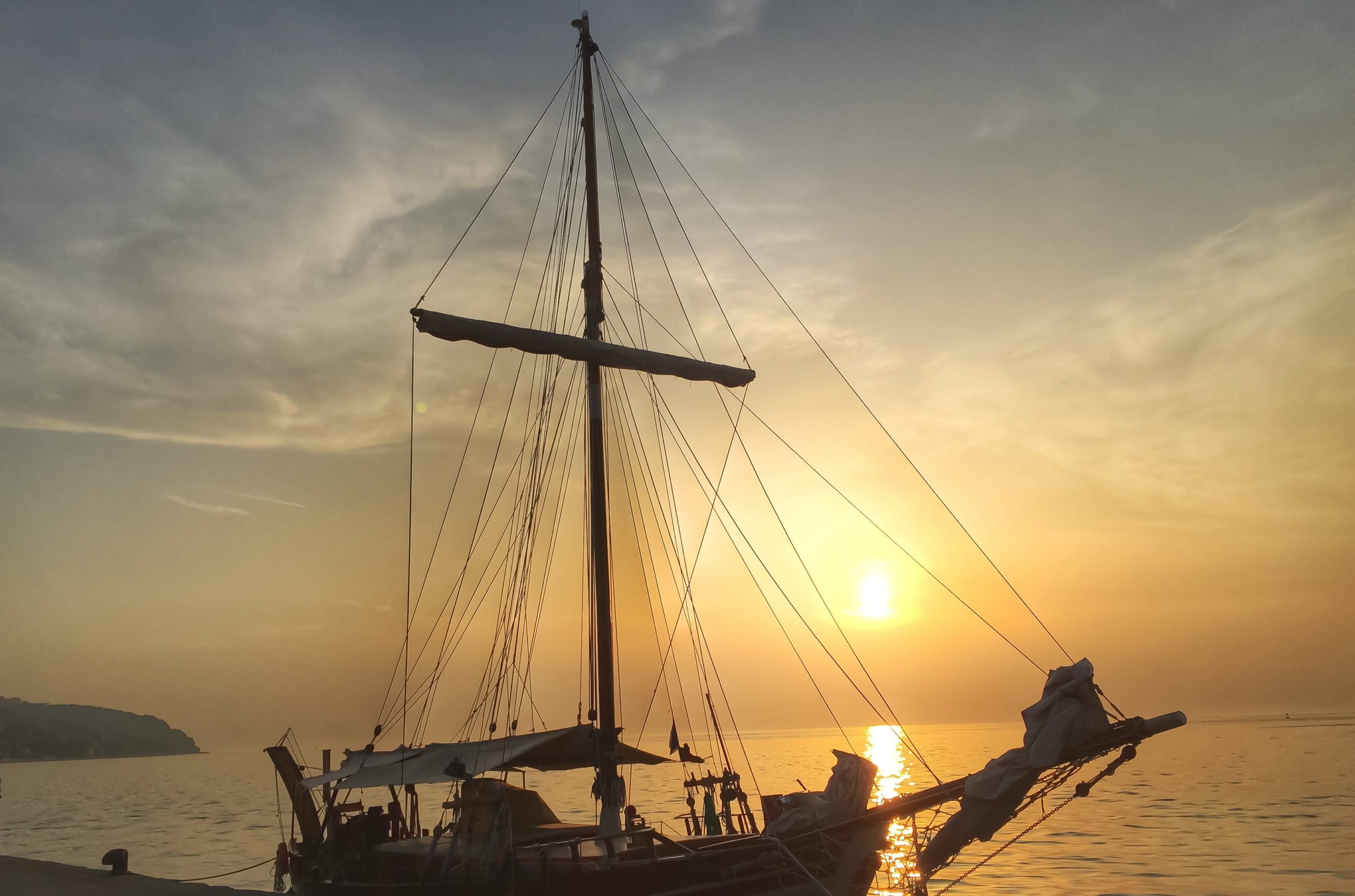
Warning: all shots taken with iPhone and edited with Snapseed!
Koper is the biggest and most industrialised of the three Slovenian coast cities (other two being Izola and Piran). Luckily, as with the most of the medieval cities, it was difficult to ruin it’s old city centre which overlooks Luka Koper (Port of Koper), the biggest port in the region.

Koper, the oldest town in Slovenia, developed on a rocky island with the Roman name Capris.It underwent a lot of changes of various reigns and states, all of which marked the city with their specific traits and names. Koper was called Capris in Roman times, in the times of the pope Gregory I (599) Insula Capraria (“goat island”), Iustinopolis under the Byzantine Empire (between mid 6th and 8th centuries) and Caput Histriae (‘head of Istria’) by the Aquileia Patriarchs. The Venetians rendered that name into the Italian form, Capodistria.
The longest reign over the city was that of the Venetian Republic (1279-1797), when Koper experienced economic (trade, salt production) and cultural prosperity (painting, music). The Venetian period is still echoed by the city architecture; despite numerous modern interventions, it has preserved its medieval character, with the city of Koper being a member of the European Association of Medieval Cities. In the Middle Ages, Koper was an island surrounded by walls and connected with the mainland with a wood bridge in the direction of Škocjan. It was protected by a mighty fortress – Lion Castle, and surrounded by vast saltpans. Koper’s importance began to diminish in the 18th century, when Trieste was proclaimed a free port, and ultimately ended with the downfall of the Venetian Republic.
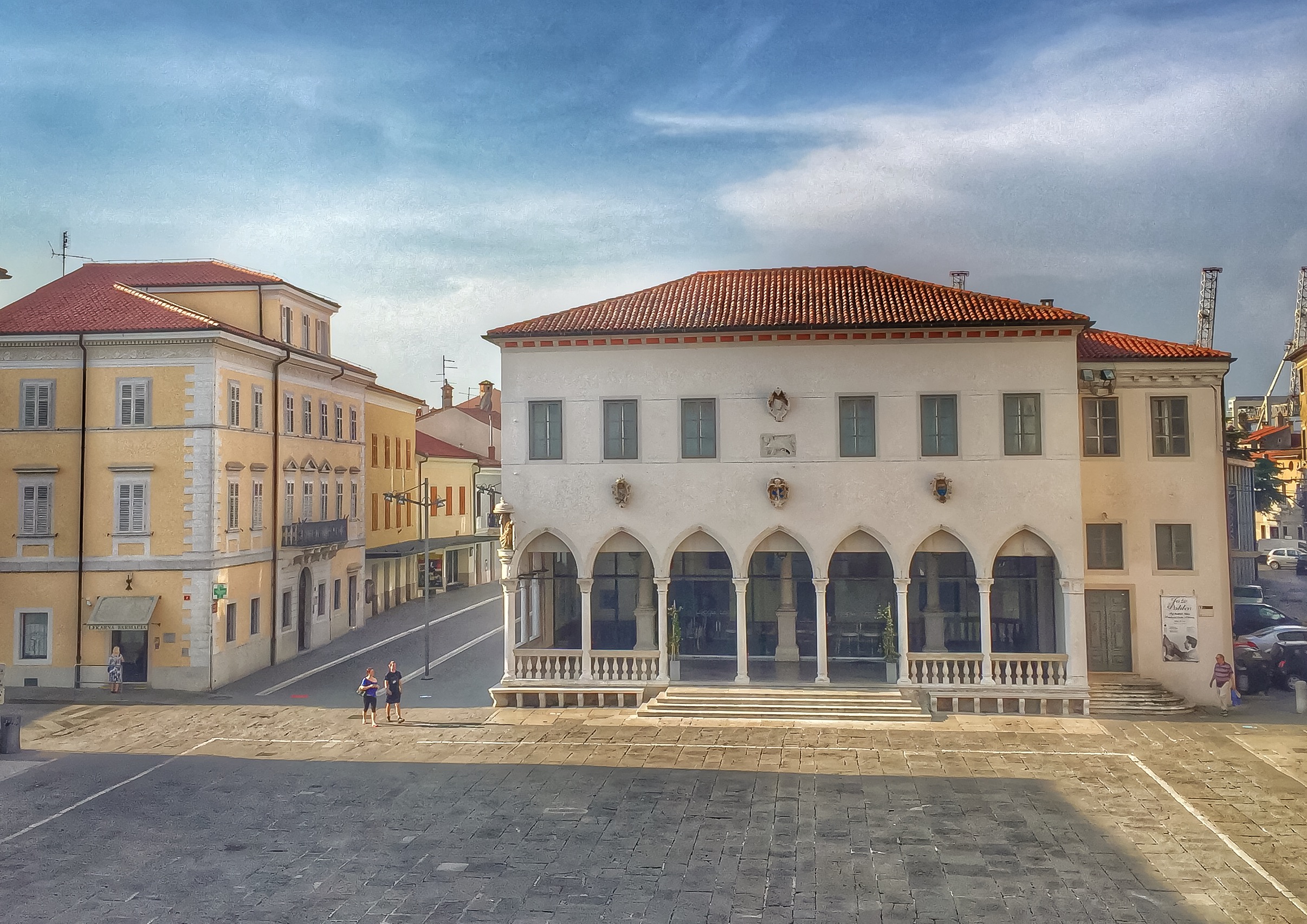
The main square, Titov trg, is located on the top of the small hill and with it’s surrounding buildings represents an architecture jewell. Despite Koper’s Venetian character we start the tour with a Gothic town loggia which closes off the north side of the main square. It is located opposite the Praetor’s Palace and represents its open antithesis. There is a caffe bar Loggia overlooking the square but it’s opening times are mysterious.

All the interesting buildings around the square are pretty huge and difficult to capture, especially if you use only a phone. The usual crowd around doesn’t make it any easier so it takes a sound compromise to get some of what you want. The Cathedral stands in the nucleus of Koper and dominates the area between the east side of the main square and Brolo Square (trg Brollo). The three-nave Romanesque space with three apses was built in the second half of the 12th century. In the middle of the square, right next to the west façade, stands a mighty self-supporting bell tower repaired as a city tower in the 15th century. The upper terrace is periodically open and offers a great view of the Bay of Trieste. Don’t expect any privacy up there.
 Newly renovated Verdi Street takes you to the city walls above the Marina with a nice view at the Port. Turning back to the main square you can get a nice shot of the Praetors’s palace (at least a part of it). Turning right at the vista point leads you into the labyrinth of narrow streets full of cats, entrances into small gardens and some nice urbex motifs.
  With some luck you would find yourself at Ribiški trg (Fishing Square), just in the neighbourhood of the Port. Find Verdijevo nabrežje street and follow it apart from the Port. Buildings at your left are built on the land which used to be a sea not so far away hence the port equipment at the sidewalk.
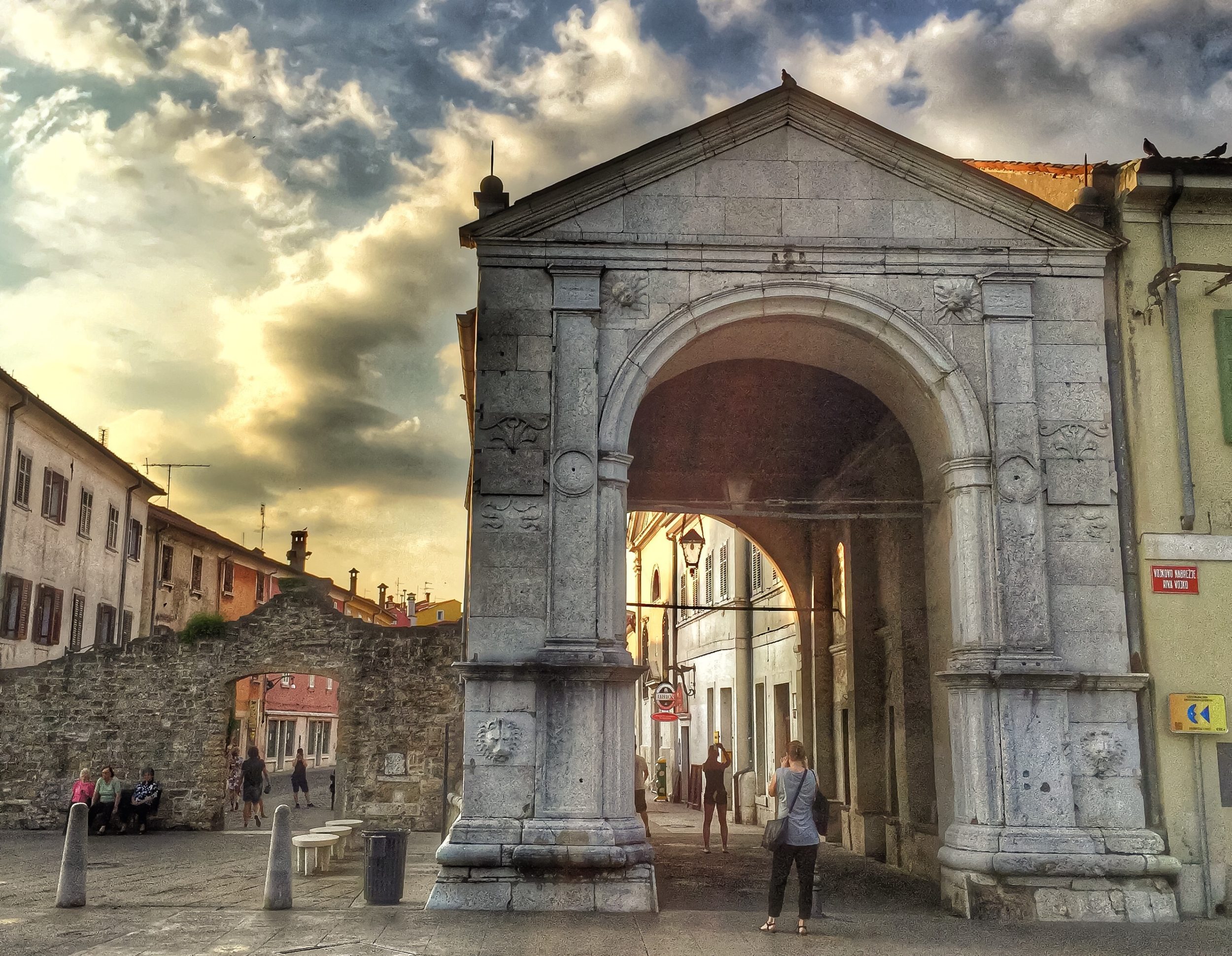
 A few meters before the roundabout enter the Muda Gate which has been and will remain the main continental city gate of Koper. The preserved triumphant arch portal and the building behind it were constructed in1516.
This is a one-arched triumphant arch that leads through a wide covered area to the inner part of the city. It used to be a tollhouse station and through it had to pass all the visitors to the city who had arrived along the embankment from the land. The stone outer frame of the entrance is Renaissance, from the Venetian workshop of the Lombardis. Above the high barrelled arch stands a later triangular gable.
 The square behind the door, Prešernov trg, with charming old buildings is much more photo friendly than the main square.
 The small Da Ponte fountain there is a bit harder to get a good shot at but it has a great history.

A subaquatic aqueduct connected the island of Koper to the mainland as early as the end of the 14th century. By the 16th century, the 10,000 inhabitants of the city were facing a water shortage, rainwater cisterns having become inadequate. In the 17th century, Niccolò Manzuoli recorded the city water supply, noting that a 2-mile distant spring at Colonna was piped to the island via wooden underwater tubes, some of which have been unearthed during excavations by modern archeologists.
The current fountain dates from 1666, replacing an older one on the same site. Its superstructure is in the shape of a bridge, surmounting an octagonal water basin surrounded by fifteen pilasters, each bearing the arms of local noble families who had contributed funds toward the fountain. The fountain was used as a source of potable water until 1898.
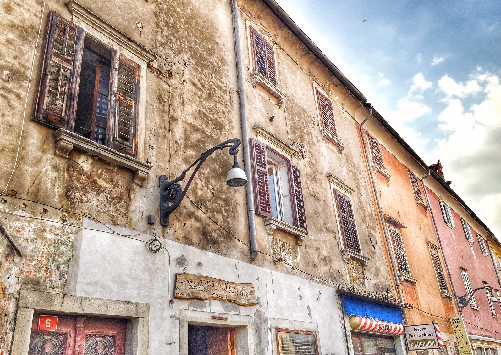
Again the narrow streets lead the way around or back to the main square but they are much more crowded.
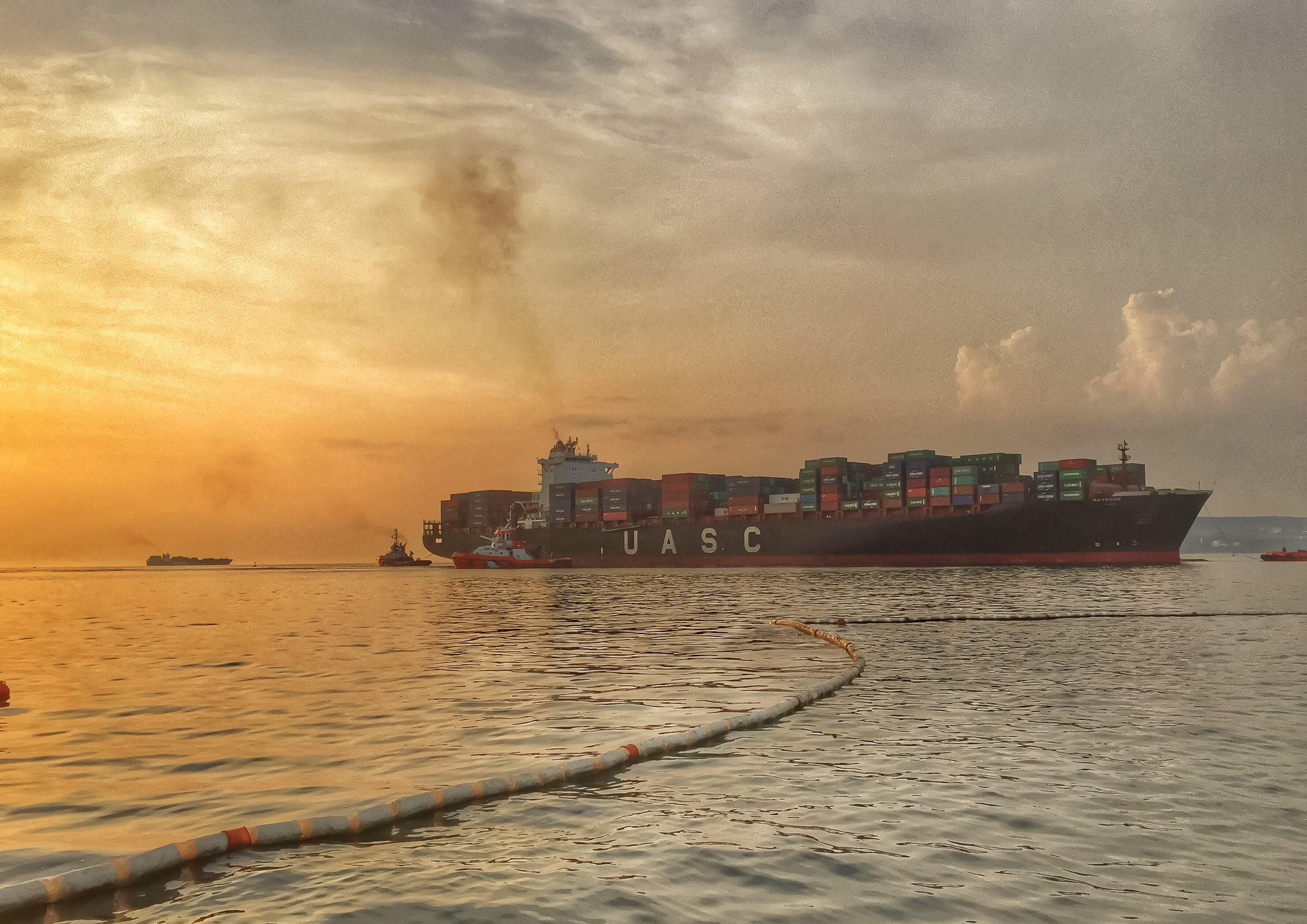
 This time we are to leave the main square just left of the Verdi Street, heading to the public port and the beach. It takes a very good stomach or a really hot day to swim so close to the commercial port but the beach is always crowded and sights spectacular. What about swimming with a tanker instead of a shark?
 The view from the peer is open to the sunset though and any obstacles can be used to your advantage.

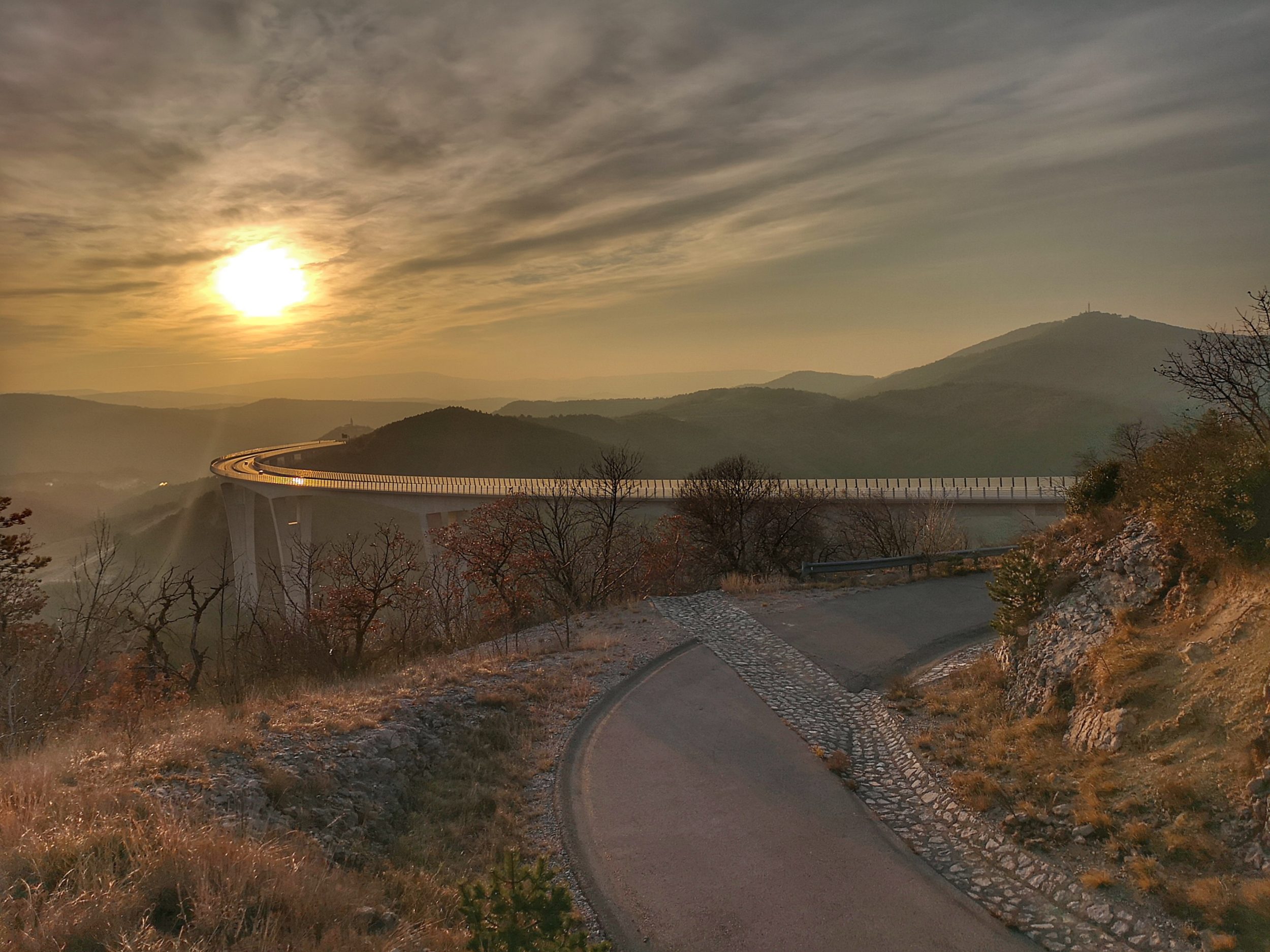
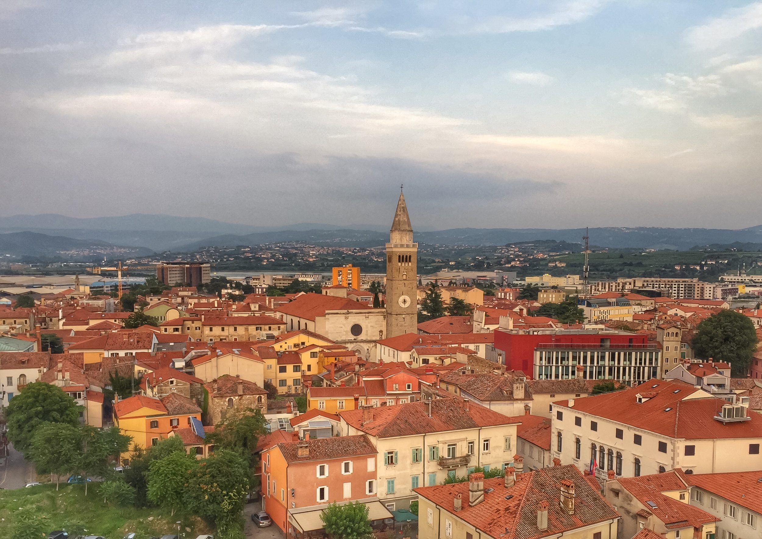
Just a hundred meter back to the main square is a deserted high apartment building waiting for deconstruction. It was built in the times of fast industrialisation for the workers of one of the big factories just in the front of the old city. Nobody cared much about such things back then and it really hurts the eyes now so it is a good thing to be deconstructed. But on the other hand it used to offer the best view of the city and it’s inland background…

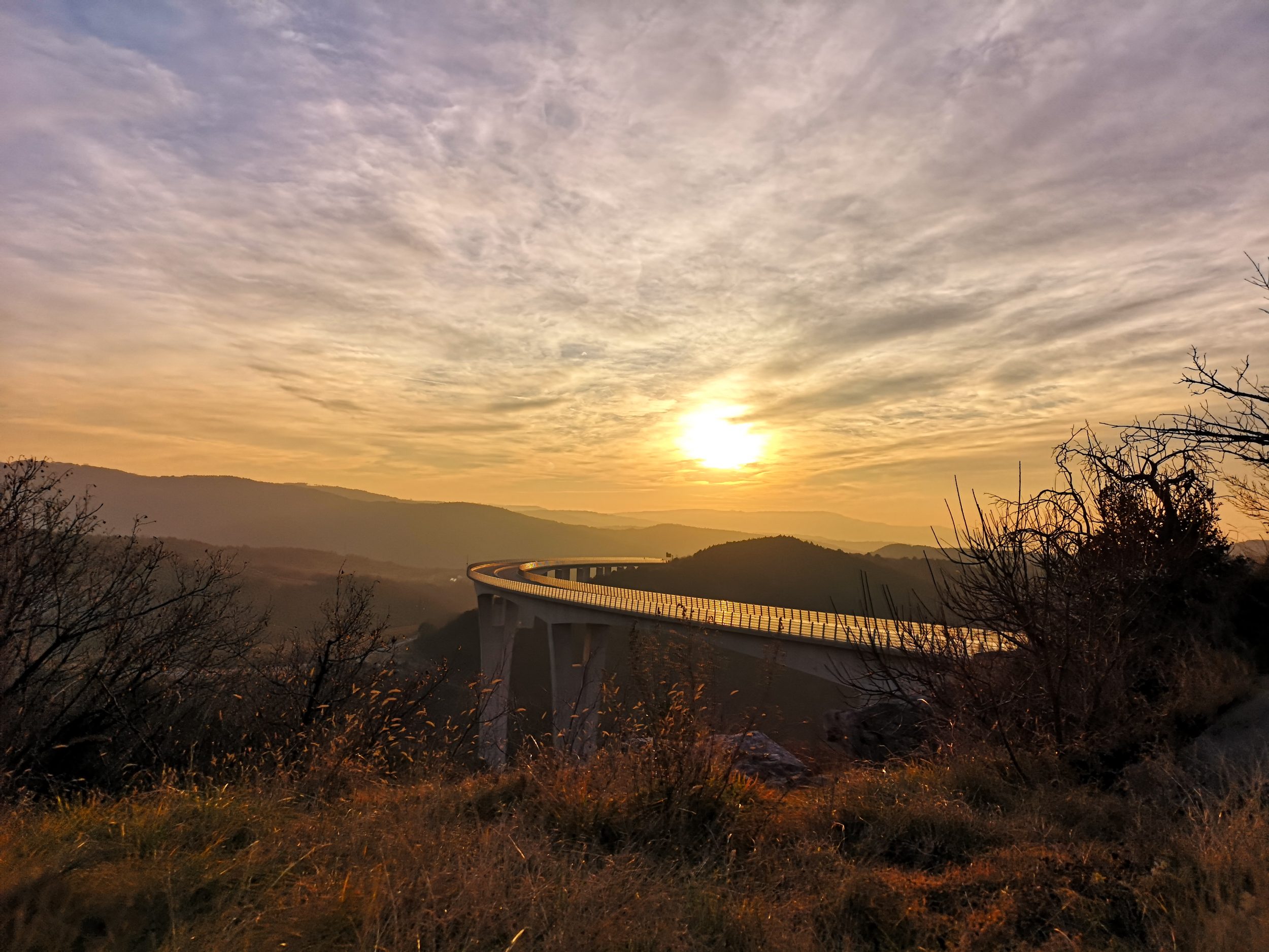
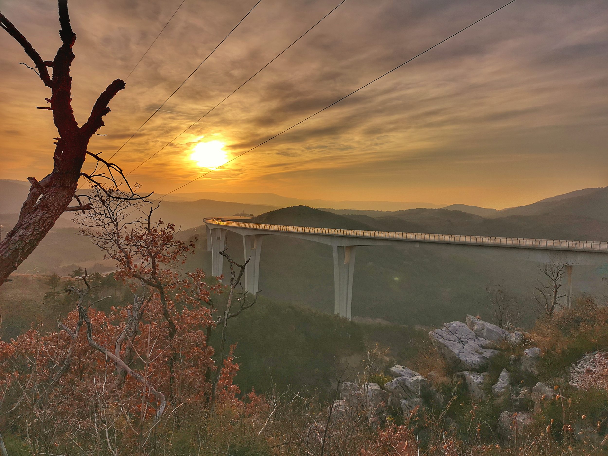
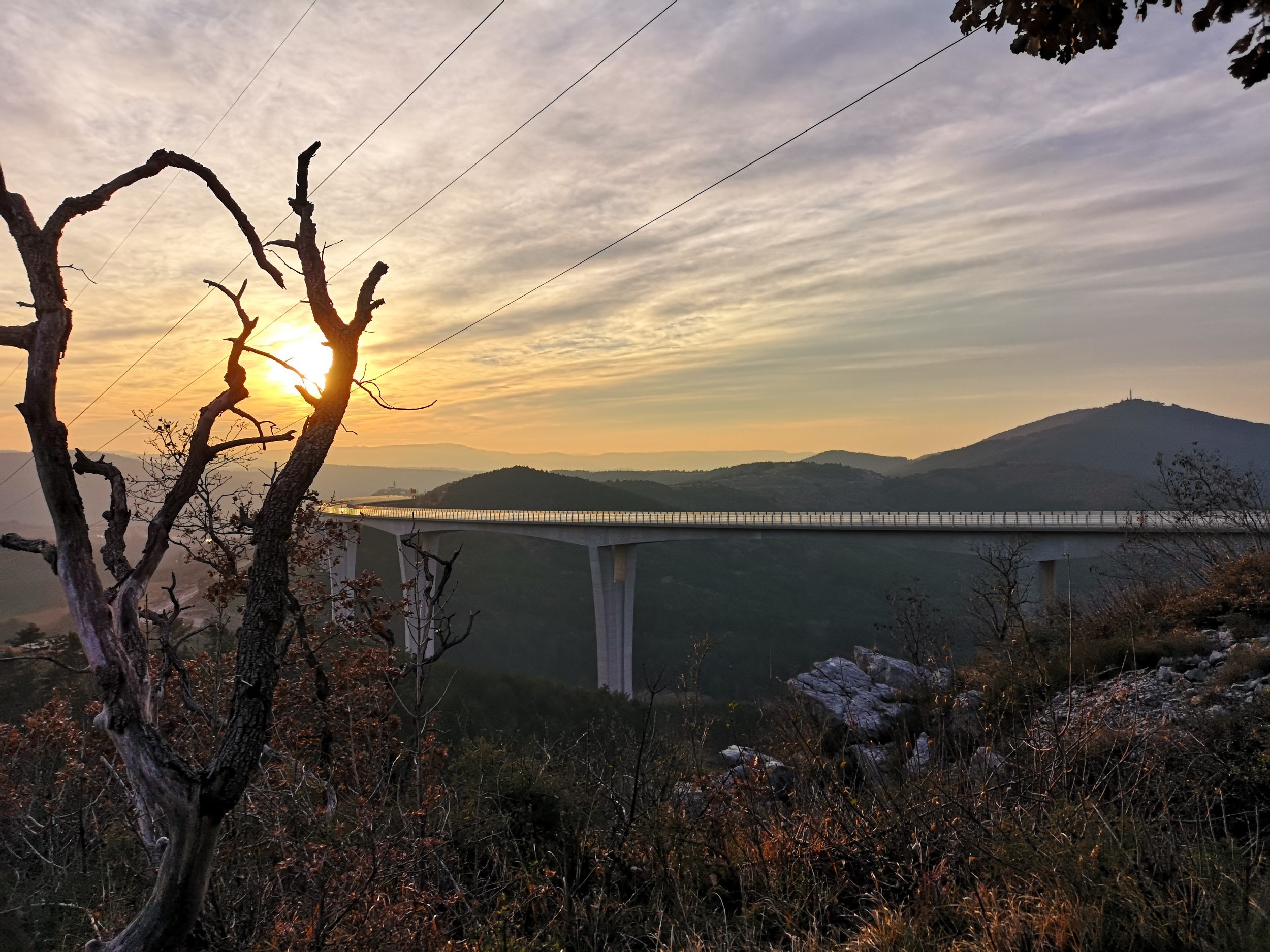
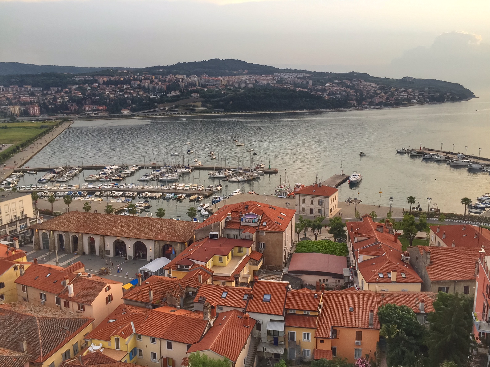
…and of the remaining part of the Slovenian coast too.
 Useful information, also used in the text: slovenia.info and wiki.
Zoran Leban Trojar @zokus_gf